
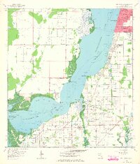
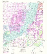
1958 Map of Fort Myers SW
USGS Topo · Published 1959About this map
The Caloosahatchee River dominates this mid-century landscape, serving as a wide aquatic divide between the growing urban grid of Fort Myers and the rural lands of Iona and Biggar. Along the eastern shore, residential expansion is evident through street names like Passaic Ave and Winkler Ave, while the southwestern sections remain heavily defined by agricultural irrigation, marked by dozens of Flowing Wells.
Find a feature on this map
40 named features on this map. Tap any name to fly to it.
Don’t see what you’re looking for? This feature index may not catch every label — zoom into the map to look around manually.
Map Details
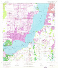
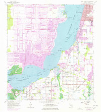
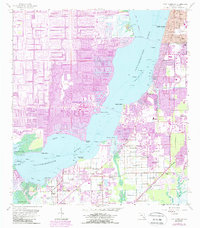
Editions of this 1958 Fort Myers SW Map
6 editions found
Other maps of this area

1956 · West Palm Beach
USGS Topo · 1:250,000

1956 · Tampa
USGS Topo · 1:250,000

1956 · Charlotte Harbor
USGS Topo · 1:250,000

1957 · West Palm Beach
USGS Topo · 1:250,000

1958 · West Palm Beach
USGS Topo · 1:250,000

1958 · Matlacha
USGS Topo · 1:24,000

1958 · Fort Myers NW
USGS Topo · 1:24,000

1958 · Estero
USGS Topo · 1:24,000

1958 · Sanibel
USGS Topo · 1:24,000

1958 · Pine Island Center
USGS Topo · 1:24,000