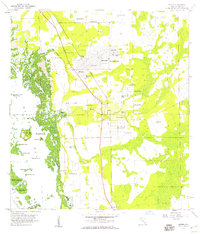
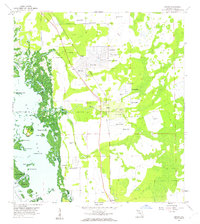
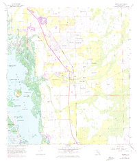
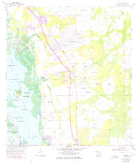
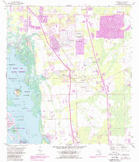
1958 Map of Estero
USGS Topo · Published 1959About this map
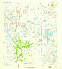
The Koreshan Unity Cem stands as a focal point of local heritage in this mid-century coastal landscape, marking the grounds of the unique pioneer settlement at Estero. This 1958 survey captures the area during a period of transition, where small communities like Coconut and Council are linked by the Atlantic Coast Line railroad and a growing grid of roads near San Carlos Park. The map documents a complex aquatic environment where the Estero River and Halfway Creek empty into the mangrove-fringed Estero Bay. Along the coast, numerous landmarks appear, from the prominent Mound Key to the Estero Lookout Tower. Numerous flowing wells are mapped across the interior, reflecting the era's reliance on artesian water for agriculture and domestic use before the widespread development of modern municipal utilities.
Find a feature on this map
40 named features on this map. Tap any name to fly to it.
Don’t see what you’re looking for? This feature index may not catch every label — zoom into the map to look around manually.
Map Details
Editions of this 1958 Estero Map
6 editions found
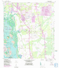
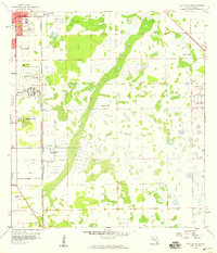
Other maps of this area

1956 · West Palm Beach
USGS Topo · 1:250,000

1957 · West Palm Beach
USGS Topo · 1:250,000

1958 · West Palm Beach
USGS Topo · 1:250,000
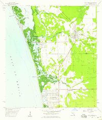
1958 · Bonita Springs
USGS Topo · 1:24,000
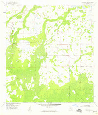
1958 · Corkscrew NW
USGS Topo · 1:24,000

1958 · Fort Myers SW
USGS Topo · 1:24,000
1958 · Alva SW
USGS Topo · 1:24,000
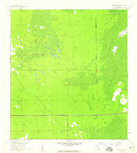
1958 · Corkscrew SW
USGS Topo · 1:24,000
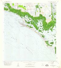
1958 · Fort Myers Beach
USGS Topo · 1:24,000
1958 · Fort Myers SE
USGS Topo · 1:24,000
Featured Places
- El Dorado Acres, FL
- Forest Island Park, FL
- Fountain Lakes, FL
- Island Park Village, FL
- North Lake Village, FL