1958 Map of Estero
USGS Topo · Published 1991About this map
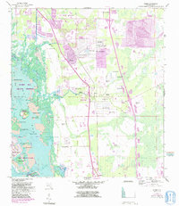
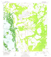
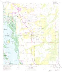
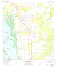
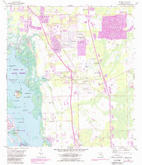
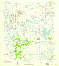
Estero Bay and its intricate network of mangrove islands and tidal creeks define this coastal Florida landscape during the late twentieth century. The map highlights the unique legacy of the Koreshan Unity settlement, specifically noting the Koreshan State Park and the Koreshan Unity Cem along the Estero River. In this era, the inland area shows residential growth around the community of San Carlos Park, which is dotted with water bodies like Lily Lake and Spruce Lake.
Find a feature on this map
40 named features on this map. Tap any name to fly to it.
Don’t see what you’re looking for? This feature index may not catch every label — zoom into the map to look around manually.
Map Details
Editions of this 1958 Estero Map
6 editions found
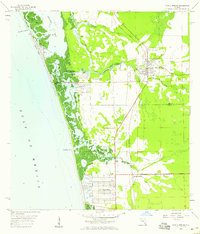
Other maps of this area

1956 · West Palm Beach
USGS Topo · 1:250,000

1957 · West Palm Beach
USGS Topo · 1:250,000

1958 · West Palm Beach
USGS Topo · 1:250,000
1958 · Bonita Springs
USGS Topo · 1:24,000
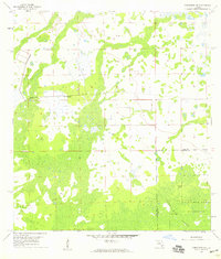
1958 · Corkscrew NW
USGS Topo · 1:24,000
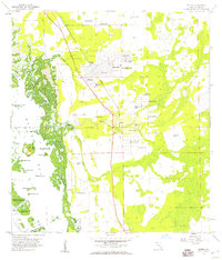
1958 · Estero
USGS Topo · 1:24,000

1958 · Fort Myers SW
USGS Topo · 1:24,000
1958 · Alva SW
USGS Topo · 1:24,000
1958 · Corkscrew SW
USGS Topo · 1:24,000
1958 · Fort Myers Beach
USGS Topo · 1:24,000
Featured Places
- El Dorado Acres, FL
- Forest Island Park, FL
- Fountain Lakes, FL
- Island Park Village, FL
- North Lake Village, FL