1958 Map of Estero
USGS Topo · Published 1963About this map
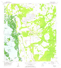
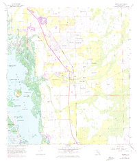
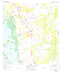
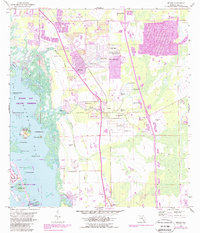
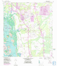
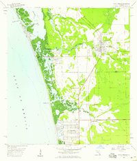
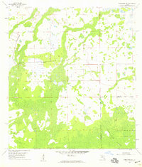
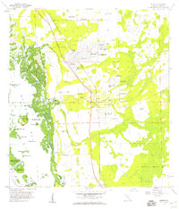
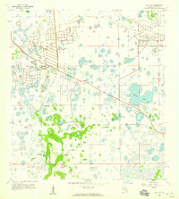
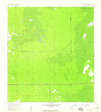
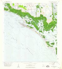
Estero and the surrounding Lee County coast appear here during a period of transition, where established citrus and agricultural lands meet new residential developments like San Carlos Park. The landscape is defined by the complex waterways of Estero Bay, where numerous islands such as Mound Key and Lovers Key are separated by tidal passes including New Pass and Big Hickory Pass. Evidence of the area's unique social history is preserved at the Koreshan Unity Cem near the Estero River. The interior topography is characterized by a high water table, noted by the density of Flowing Wells and the series of small lakes like Lily Lake and Spruce Lake. Transportation and drainage infrastructure are central to the region's layout, anchored by the Atlantic Coast Line railroad corridor and the engineered path of the Tenmile Canal.
Find a feature on this map
42 named features on this map. Tap any name to fly to it.
Don’t see what you’re looking for? This feature index may not catch every label — zoom into the map to look around manually.
Map Details
Editions of this 1958 Estero Map
6 editions found
Other maps of this area

1956 · West Palm Beach
USGS Topo · 1:250,000

1957 · West Palm Beach
USGS Topo · 1:250,000

1958 · West Palm Beach
USGS Topo · 1:250,000
1958 · Bonita Springs
USGS Topo · 1:24,000
1958 · Corkscrew NW
USGS Topo · 1:24,000
1958 · Estero
USGS Topo · 1:24,000

1958 · Fort Myers SW
USGS Topo · 1:24,000
1958 · Alva SW
USGS Topo · 1:24,000
1958 · Corkscrew SW
USGS Topo · 1:24,000
1958 · Fort Myers Beach
USGS Topo · 1:24,000
Featured Places
- El Dorado Acres, FL
- Forest Island Park, FL
- Fountain Lakes, FL
- Island Park Village, FL
- North Lake Village, FL