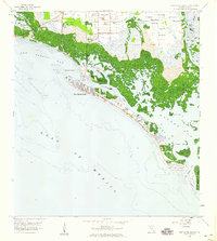
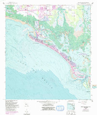
1958 Map of Fort Myers Beach
USGS Topo · Published 1959About this map
Fort Myers Beach sits along a narrow barrier island in the late 1950s, serving as a gateway between the open Gulf of Mexico and the intricate labyrinth of the Florida coastline. This survey reveals a landscape of transition, where the established settlement at Matanzas Pass meets a vast network of mangrove keys and tidal waters. To the north, the presence of an Old Railroad Grade and the small inland community of Truckland reflect the early infrastructure that once connected this coastal reach to the mainland.
Find a feature on this map
31 named features on this map. Tap any name to fly to it.
Don’t see what you’re looking for? This feature index may not catch every label — zoom into the map to look around manually.
Map Details
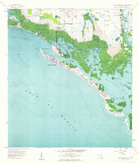
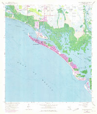
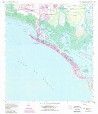
Editions of this 1958 Fort Myers Beach Map
5 editions found
Other maps of this area

1956 · West Palm Beach
USGS Topo · 1:250,000

1956 · Tampa
USGS Topo · 1:250,000

1956 · Charlotte Harbor
USGS Topo · 1:250,000

1957 · West Palm Beach
USGS Topo · 1:250,000

1958 · West Palm Beach
USGS Topo · 1:250,000

1958 · Bonita Springs
USGS Topo · 1:24,000

1958 · Estero
USGS Topo · 1:24,000

1958 · Fort Myers SW
USGS Topo · 1:24,000

1958 · Sanibel
USGS Topo · 1:24,000

1958 · Pine Island Center
USGS Topo · 1:24,000