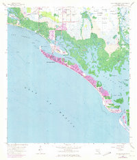
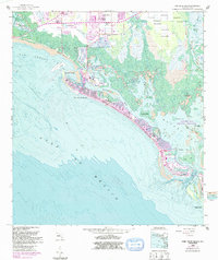
1958 Map of Fort Myers Beach
USGS Topo · Published 1973About this map
The coastal barrier landscape of Fort Myers Beach is captured during a period of significant expansion, as shown by the extensive 1972 photorevisions in purple that detail new canal developments and subdivisions. Along the shoreline, San Carlos Island and the primary beach ridge are densely populated, while the surrounding aquatic environment remains a complex network of mangrove keys and tidal flats, including the curiously named Hell Peckish Bay and Starvation Key. To the north, the inland area near Truckland shows a transition from agricultural land, marked by numerous Flowing Well labels, to emerging suburban blocks.
Find a feature on this map
33 named features on this map. Tap any name to fly to it.
Don’t see what you’re looking for? This feature index may not catch every label — zoom into the map to look around manually.
Map Details
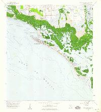
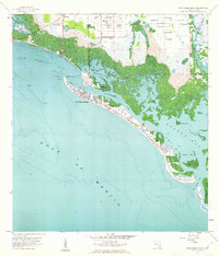
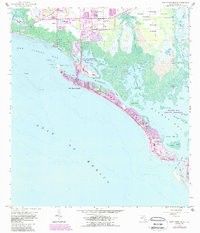
Editions of this 1958 Fort Myers Beach Map
5 editions found
Other maps of this area

1956 · West Palm Beach
USGS Topo · 1:250,000

1956 · Tampa
USGS Topo · 1:250,000

1956 · Charlotte Harbor
USGS Topo · 1:250,000

1957 · West Palm Beach
USGS Topo · 1:250,000

1958 · West Palm Beach
USGS Topo · 1:250,000

1958 · Bonita Springs
USGS Topo · 1:24,000

1958 · Estero
USGS Topo · 1:24,000

1958 · Fort Myers SW
USGS Topo · 1:24,000

1958 · Sanibel
USGS Topo · 1:24,000

1958 · Pine Island Center
USGS Topo · 1:24,000