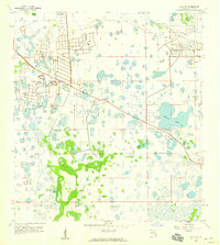
1958 Map of Estero
USGS Topo · Published 1973About this map
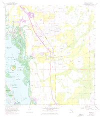
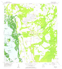
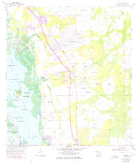
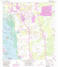
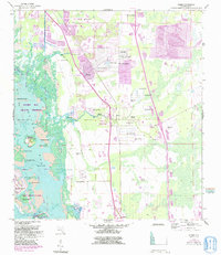
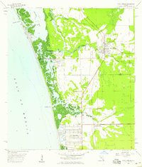
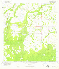
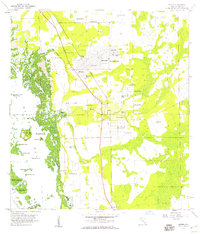
The Koreshan State Park and adjacent Koreshan Unity Cem anchor this coastal Florida survey, preserving the unique legacy of the religious colony along the Estero River. The landscape transitions from the developing residential grids of San Carlos Park to the intricate, mangrove-fringed waters of Estero Bay. This 1958 topography, updated with 1972 aerial revisions, shows a region defined by its water management and archaeological history, notably featuring Mound Key amidst a labyrinth of smaller islands like Stingaree Key and Black Key. Numerous flowing wells are recorded across the interior, evidence of the region's artesian hydrology during this period. Transportation is dominated by the Seaboard Coast Line railroad and the Estero Lookout Tower, providing essential landmarks for this Lee County landscape just as modern growth began to accelerate.
Find a feature on this map
39 named features on this map. Tap any name to fly to it.
Don’t see what you’re looking for? This feature index may not catch every label — zoom into the map to look around manually.
Map Details
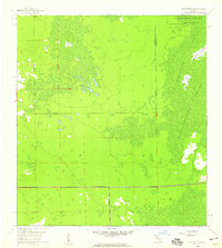
Editions of this 1958 Estero Map
6 editions found
Other maps of this area

1956 · West Palm Beach
USGS Topo · 1:250,000

1957 · West Palm Beach
USGS Topo · 1:250,000

1958 · West Palm Beach
USGS Topo · 1:250,000
1958 · Bonita Springs
USGS Topo · 1:24,000
1958 · Corkscrew NW
USGS Topo · 1:24,000
1958 · Estero
USGS Topo · 1:24,000

1958 · Fort Myers SW
USGS Topo · 1:24,000
1958 · Alva SW
USGS Topo · 1:24,000
1958 · Corkscrew SW
USGS Topo · 1:24,000
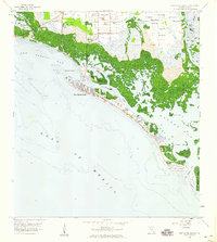
1958 · Fort Myers Beach
USGS Topo · 1:24,000
Featured Places
- El Dorado Acres, FL
- Forest Island Park, FL
- Fountain Lakes, FL
- Island Park Village, FL
- North Lake Village, FL