
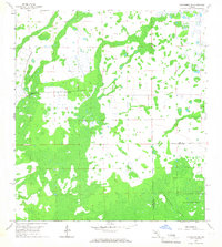
1958 Map of Corkscrew NW
USGS Topo · Published 1959About this map
The Corkscrew Swamp Sanctuary anchors the southeastern corner of this 1950s survey, marking a preserved remnant of the Florida Everglades ecosystem before modern development patterns fully took hold. The landscape is defined by vast wetlands and periodic rises in elevation, such as the distinctive Panther Island. Positioned along the border of Lee Co and Collier Co, the map reveals a transition from natural swamp toward initial land modifications, indicated by the grid of drainage features and the presence of a Flowing Well. This survey reflects the region's mid-century state, where the complex hydrology of the Big Cypress watershed remained the dominant geographic force, punctuated only by a few unimproved roads and isolated benchmarks.
Find a feature on this map
5 named features on this map. Tap any name to fly to it.
Don’t see what you’re looking for? This feature index may not catch every label — zoom into the map to look around manually.
Map Details
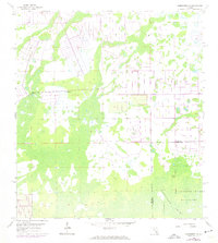
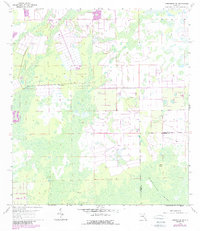
Editions of this 1958 Corkscrew NW Map
4 editions found
Other maps of this area

1956 · West Palm Beach
USGS Topo · 1:250,000

1957 · West Palm Beach
USGS Topo · 1:250,000

1958 · West Palm Beach
USGS Topo · 1:250,000

1958 · Corkscrew SE
USGS Topo · 1:24,000

1958 · Bonita Springs
USGS Topo · 1:24,000

1958 · Estero
USGS Topo · 1:24,000

1958 · Alva SW
USGS Topo · 1:24,000

1958 · Corkscrew SW
USGS Topo · 1:24,000

1958 · Alva SE
USGS Topo · 1:24,000
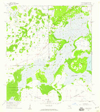
1958 · Corkscrew
USGS Topo · 1:24,000