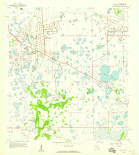
1958 Map of Estero
USGS Topo · Published 1977About this map
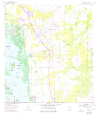
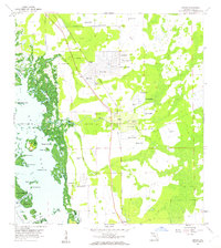
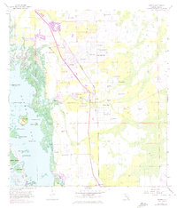
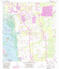
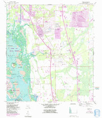
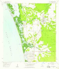
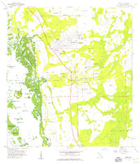
The Koreshan State Park preserves a unique cultural legacy along the Estero River, where the historic Koreshan Unity Cem is located. This survey, updated with 1972 aerial photography, documents the mid-century growth of San Carlos Park and Estero alongside the established Seaboard Coast Line railroad. The coastal geography is defined by a dense network of mangrove islands and keys within Estero Bay, including the archaeologically significant Mound Key and landmarks like Needmore Point.
Find a feature on this map
45 named features on this map. Tap any name to fly to it.
Don’t see what you’re looking for? This feature index may not catch every label — zoom into the map to look around manually.
Map Details
Editions of this 1958 Estero Map
6 editions found
Other maps of this area

1956 · West Palm Beach
USGS Topo · 1:250,000

1957 · West Palm Beach
USGS Topo · 1:250,000

1958 · West Palm Beach
USGS Topo · 1:250,000
1958 · Bonita Springs
USGS Topo · 1:24,000
1958 · Corkscrew NW
USGS Topo · 1:24,000
1958 · Estero
USGS Topo · 1:24,000

1958 · Fort Myers SW
USGS Topo · 1:24,000
1958 · Alva SW
USGS Topo · 1:24,000
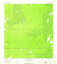
1958 · Corkscrew SW
USGS Topo · 1:24,000
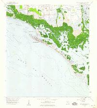
1958 · Fort Myers Beach
USGS Topo · 1:24,000
Featured Places
- El Dorado Acres, FL
- Forest Island Park, FL
- Fountain Lakes, FL
- Island Park Village, FL
- North Lake Village, FL