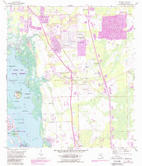
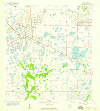
1958 Map of Estero
USGS Topo · Published 1988About this map
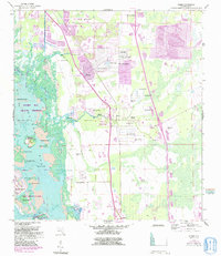
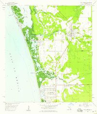
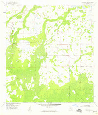
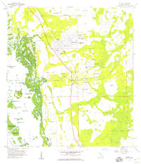
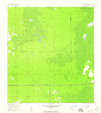
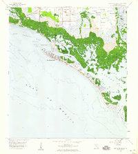
Estero and the surrounding Lee County coast show a landscape defined by subtropical wetlands and early residential development in this late-century revision of 1950s data. The area around Koreshan State Park preserves the footprint of a unique communal settlement, including the Koreshan Unity Cem, while newer inland growth appears at San Carlos Park. This survey documents a critical period before the heavy modern expansion of the Gulf Coast, where numerous Flowing Wells dot the interior and small lakes like Lily Lake and Spruce Lake are surrounded by nascent street grids. Along the coast, the Estero Bay Aquatic Preserve protects a complex network of mangrove islands and keys, including Mound Key State Park and the southern reaches of Big Hickory Island. The transition from the rural outpost of Coconut to a more suburbanized environment is visible through the increasing density of trailer parks and golf courses.
Find a feature on this map
46 named features on this map. Tap any name to fly to it.
Don’t see what you’re looking for? This feature index may not catch every label — zoom into the map to look around manually.
Map Details
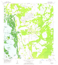
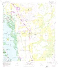
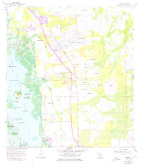
Editions of this 1958 Estero Map
6 editions found
Other maps of this area

1956 · West Palm Beach
USGS Topo · 1:250,000

1957 · West Palm Beach
USGS Topo · 1:250,000

1958 · West Palm Beach
USGS Topo · 1:250,000
1958 · Bonita Springs
USGS Topo · 1:24,000
1958 · Corkscrew NW
USGS Topo · 1:24,000
1958 · Estero
USGS Topo · 1:24,000

1958 · Fort Myers SW
USGS Topo · 1:24,000
1958 · Alva SW
USGS Topo · 1:24,000
1958 · Corkscrew SW
USGS Topo · 1:24,000
1958 · Fort Myers Beach
USGS Topo · 1:24,000
Featured Places
- El Dorado Acres, FL
- Forest Island Park, FL
- Fountain Lakes, FL
- Island Park Village, FL
- North Lake Village, FL