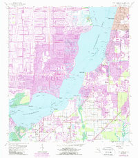
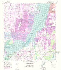
1958 Map of Fort Myers SW
USGS Topo · Published 1987About this map
The Caloosahatchee River serves as the central artery for this coastal Lee County landscape, separating the developing residential grid of Cape Coral from the established eastern shores of Fort Myers. In the late 1950s, the western bank shows the early patterns of dredging and canal building at Bimini Basin, a hallmark of the region's mid-century transformation. On the eastern side, residential expansion pushes south toward Pine Manor and Biggar, while older agricultural and maritime roots are visible in settlements like Iona.
Find a feature on this map
46 named features on this map. Tap any name to fly to it.
Don’t see what you’re looking for? This feature index may not catch every label — zoom into the map to look around manually.
Map Details
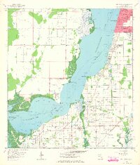
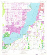
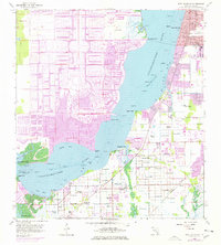
Editions of this 1958 Fort Myers SW Map
6 editions found
Other maps of this area

1956 · West Palm Beach
USGS Topo · 1:250,000

1956 · Tampa
USGS Topo · 1:250,000

1956 · Charlotte Harbor
USGS Topo · 1:250,000

1957 · West Palm Beach
USGS Topo · 1:250,000

1958 · West Palm Beach
USGS Topo · 1:250,000

1958 · Matlacha
USGS Topo · 1:24,000

1958 · Fort Myers NW
USGS Topo · 1:24,000

1958 · Estero
USGS Topo · 1:24,000

1958 · Fort Myers SW
USGS Topo · 1:24,000

1958 · Sanibel
USGS Topo · 1:24,000