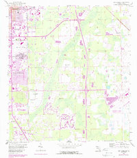
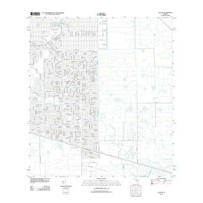
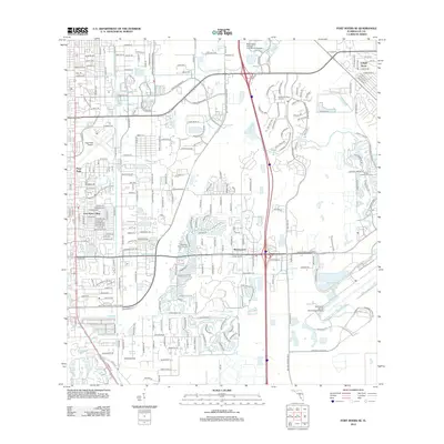
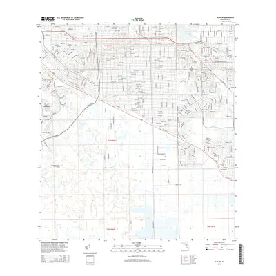
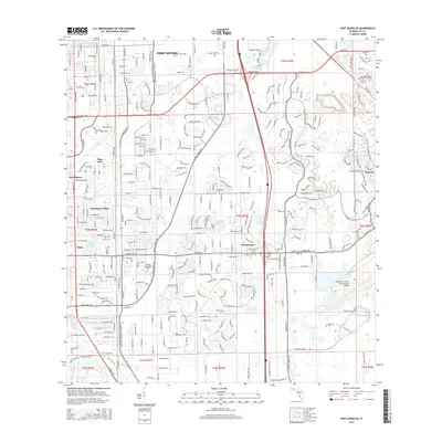
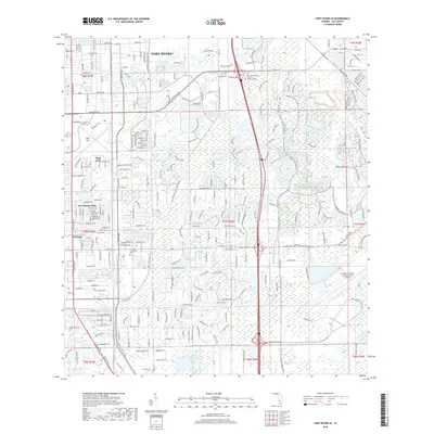
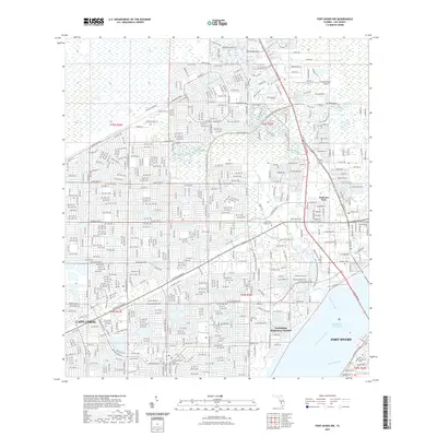
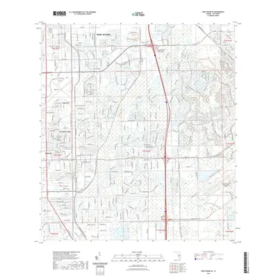
1958 Map of Fort Myers SW
USGS Topo · Published 1965About this map
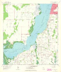
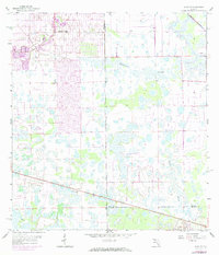
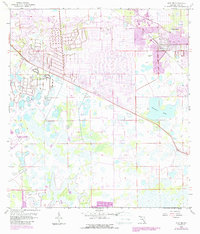
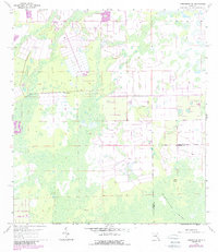
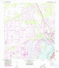
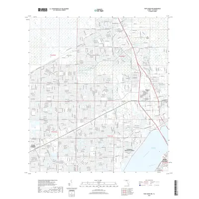
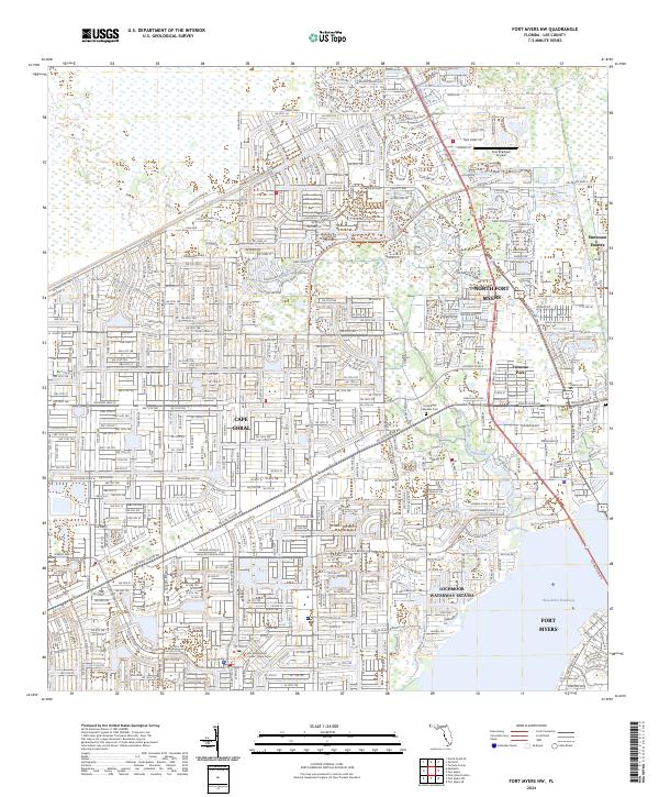
The Caloosahatchee River dominates this mid-century landscape, revealing a complex shoreline of points and bights before the era of intensive coastal development. Along the eastern banks, the southern reaches of Fort Myers show a structured grid of streets and residential blocks, including Orangewood Sch and the Memorial Gardens cemetery. To the south and west, the terrain shifts into a more rural character defined by the small settlements of Biggar and Truckland.
Find a feature on this map
40 named features on this map. Tap any name to fly to it.
Don’t see what you’re looking for? This feature index may not catch every label — zoom into the map to look around manually.
Map Details
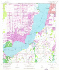
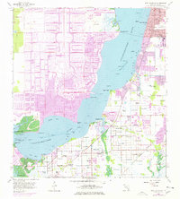
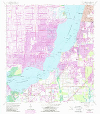
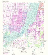
Editions of this 1958 Fort Myers SW Map
6 editions found

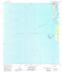
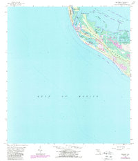
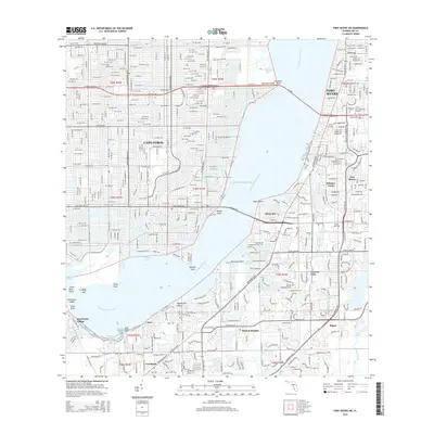
Historical Maps of Cape Coral Through Time
50 maps found
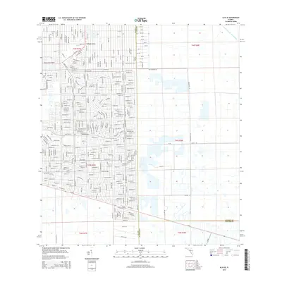
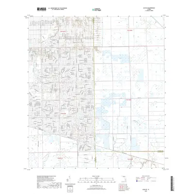
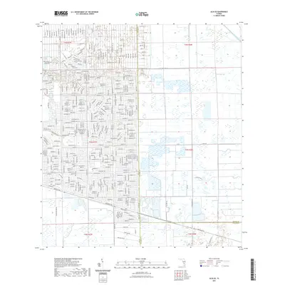
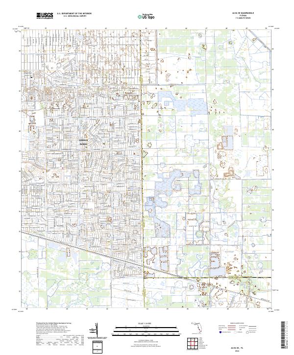
1958 Alva SE
Lee County, FL
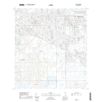
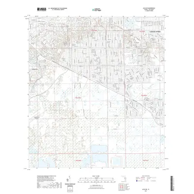
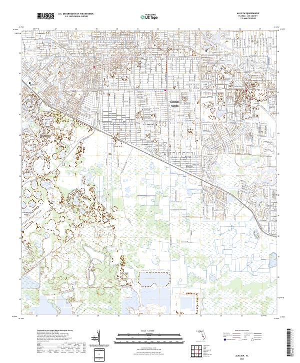
1958 Alva SW
Lee County, FL
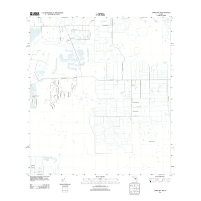
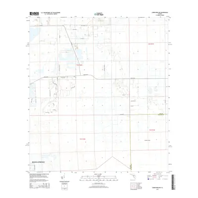
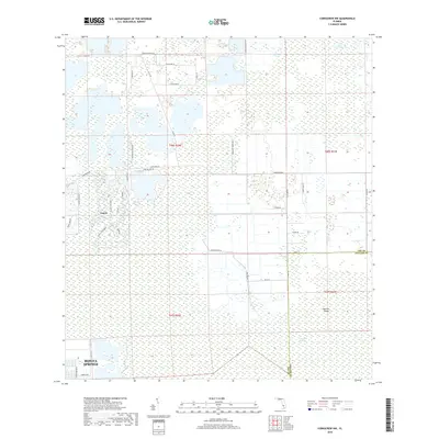
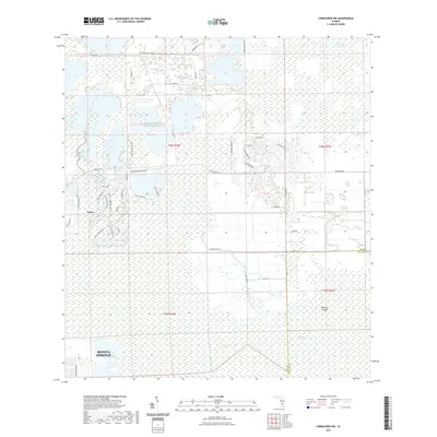
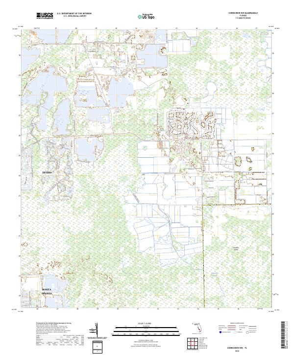
1958 Corkscrew NW
Lee County, FL
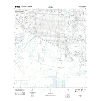
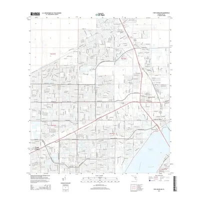
1958 Fort Myers NW
Lee County, FL
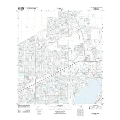
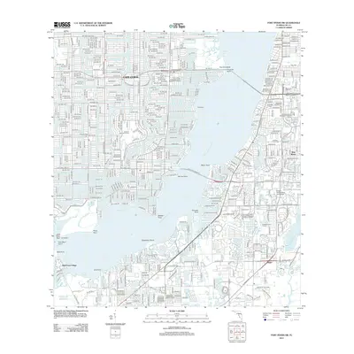
1958 Fort Myers SE
Lee County, FL
1958 Fort Myers SW
Lee County, FL
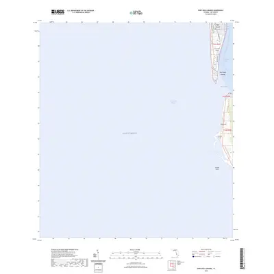
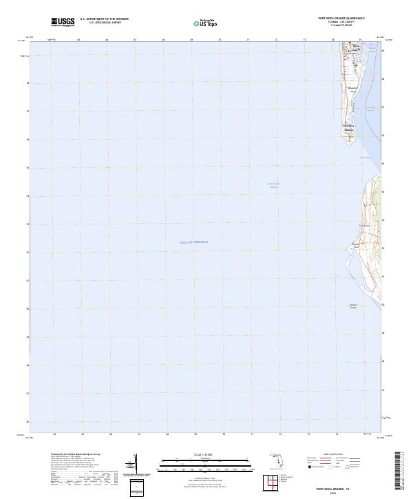
1958 Port Boca Grande
Lee County, FL
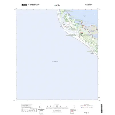
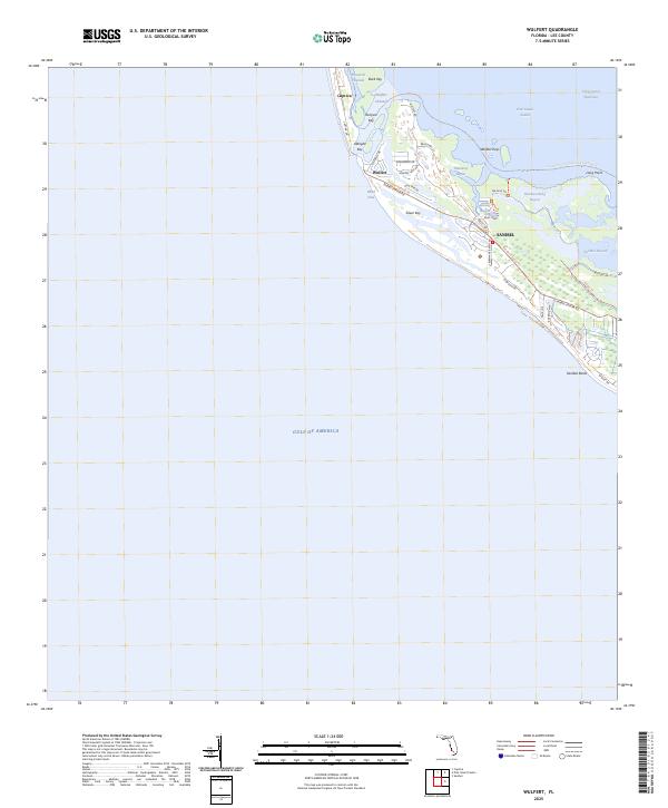
1958 Wulfert
Lee County, FL
2012 Alva SE
Lee County, FL
2012 Alva SW
Lee County, FL
2012 Corkscrew NW
Lee County, FL
2012 Fort Myers NW
Lee County, FL
2012 Fort Myers SE
Lee County, FL
2012 Fort Myers SW
Lee County, FL
2012 Port Boca Grande
Lee County, FL
2012 Wulfert
Lee County, FL
2015 Alva SE
Lee County, FL
2015 Alva SW
Lee County, FL
2015 Corkscrew NW
Lee County, FL
2015 Fort Myers NW
Lee County, FL
2015 Fort Myers SE
Lee County, FL
2015 Fort Myers SW
Lee County, FL
2015 Port Boca Grande
Lee County, FL
2015 Wulfert
Lee County, FL
2018 Alva SE
Lee County, FL
2018 Alva SW
Lee County, FL
2018 Corkscrew NW
Lee County, FL
2018 Fort Myers NW
Lee County, FL
2018 Fort Myers SE
Lee County, FL
2018 Fort Myers SW
Lee County, FL
2018 Port Boca Grande
Lee County, FL
2018 Wulfert
Lee County, FL
2021 Alva SE
Lee County, FL
2021 Alva SW
Lee County, FL
2021 Corkscrew NW
Lee County, FL
2021 Fort Myers NW
Lee County, FL
2021 Fort Myers SE
Lee County, FL
2021 Fort Myers SW
Lee County, FL
2021 Port Boca Grande
Lee County, FL
2021 Wulfert
Lee County, FL
2024 Alva SE
Lee County, FL
2024 Alva SW
Lee County, FL
2024 Corkscrew NW
Lee County, FL
2024 Fort Myers NW
Lee County, FL
2024 Fort Myers SE
Lee County, FL
2024 Fort Myers SW
Lee County, FL
2024 Port Boca Grande
Lee County, FL
2024 Wulfert
Lee County, FL
2025 Port Boca Grande
Lee County, FL
2025 Wulfert
Lee County, FL