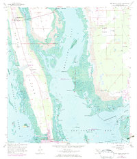
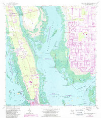
1958 Map of Pine Island Center
USGS Topo · Published 1972About this map
Matlacha Pass separates the mangrove-fringed shores of Pine Island from the Florida mainland, defining a landscape dominated by tidal creeks and sprawling estuaries in the mid-20th century. This 1958 survey, photorevised in 1972, reveals the early stages of water-based development along the Monroe Canal and Dawson Canal, particularly near St James City and Flamingo Bay. The inclusion of numerous flowing wells across the eastern mainland suggests the area's agricultural reliance on artesian water before widespread municipal infrastructure. Navigational points such as the narrow Hell Gate and the sheltered Glover Bight illustrate the intricate maritime geography of San Carlos Bay. From the residential clustering at Pine Island Center to the protected reaches of the Matlacha Pass National Wildlife Refuge, the map documents a transition from wild subtropical wetlands to a settled coastal community.
Find a feature on this map
63 named features on this map. Tap any name to fly to it.
Don’t see what you’re looking for? This feature index may not catch every label — zoom into the map to look around manually.
Map Details
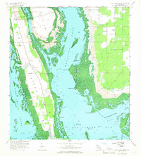
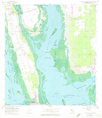
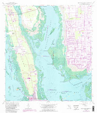
Editions of this 1958 Pine Island Center Map
6 editions found

Other maps of this area

1956 · West Palm Beach
USGS Topo · 1:250,000

1956 · Tampa
USGS Topo · 1:250,000

1956 · Charlotte Harbor
USGS Topo · 1:250,000

1957 · West Palm Beach
USGS Topo · 1:250,000

1958 · West Palm Beach
USGS Topo · 1:250,000

1958 · Matlacha
USGS Topo · 1:24,000

1958 · Captiva
USGS Topo · 1:24,000

1958 · Fort Myers NW
USGS Topo · 1:24,000

1958 · Fort Myers SW
USGS Topo · 1:24,000

1958 · Sanibel
USGS Topo · 1:24,000