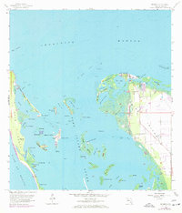
1958 Map of Bokeelia
USGS Topo · Published 1972About this map
Bokeelia and Pineland anchor the northern reaches of Pine Island in this coastal survey, where the terrestrial landscape dissolves into the intricate mangroves and shoals of Pine Island Sound. The map reveals a complex island geography including Useppa Island, Cabbage Key, and the diverse keys within the Pine Island National Wildlife Refuge. Of particular interest to local historians are the numerous archaeological sites noted as mounds, such as Old Ware Mound, Faulkner Mound, and Howard Mound, which point to an ancient indigenous presence long before the 20th-century development of the region. The 1972 revisions, indicated in purple, highlight the growth of local infrastructure, including a Trailer Park and residential expansion near Jug Creek. Coastal features like Point Blanco and the narrow passage at The Narrows define the western barrier, separating the protected sound from the open Gulf of Mexico.
Find a feature on this map
66 named features on this map. Tap any name to fly to it.
Don’t see what you’re looking for? This feature index may not catch every label — zoom into the map to look around manually.
Map Details
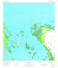
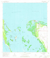
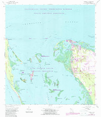
Editions of this 1958 Bokeelia Map
5 editions found
Other maps of this area

1956 · Punta Gorda SE
USGS Topo · 1:24,000

1956 · Tampa
USGS Topo · 1:250,000

1956 · Charlotte Harbor
USGS Topo · 1:250,000

1957 · Punta Gorda SW
USGS Topo · 1:24,000

1957 · Placida
USGS Topo · 1:24,000

1958 · Matlacha
USGS Topo · 1:24,000

1958 · Captiva
USGS Topo · 1:24,000

1958 · Port Boca Grande
USGS Topo · 1:24,000

1958 · Pine Island Center
USGS Topo · 1:24,000

1958 · Bokeelia
USGS Topo · 1:24,000