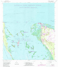
1958 Map of Bokeelia
USGS Topo · Published 1987About this map
The northern tip of Pine Island and the intricate barrier islands of the Lee County coast are revealed in this detailed 1958 survey, updated through the late 1980s. The settlement of Bokeelia serves as a northern anchor, with its network of canals and docks facing Gasparilla Sound - Charlotte Harbor. Significant archaeological and indigenous history is evident through the marking of several major earthworks, including Faulkner Mound, Howard Mound, and Old Ware Mound, reflecting long-term habitation of these coastal keys.
Find a feature on this map
67 named features on this map. Tap any name to fly to it.
Don’t see what you’re looking for? This feature index may not catch every label — zoom into the map to look around manually.
Map Details
Editions of this 1958 Bokeelia Map
5 editions found
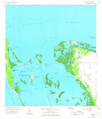
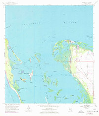
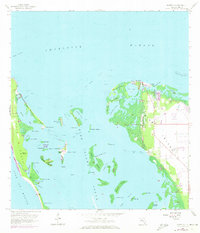
Other maps of this area

1956 · Punta Gorda SE
USGS Topo · 1:24,000

1956 · Tampa
USGS Topo · 1:250,000

1956 · Charlotte Harbor
USGS Topo · 1:250,000

1957 · Punta Gorda SW
USGS Topo · 1:24,000

1957 · Placida
USGS Topo · 1:24,000

1958 · Matlacha
USGS Topo · 1:24,000

1958 · Captiva
USGS Topo · 1:24,000

1958 · Port Boca Grande
USGS Topo · 1:24,000

1958 · Pine Island Center
USGS Topo · 1:24,000

1958 · Bokeelia
USGS Topo · 1:24,000