
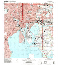
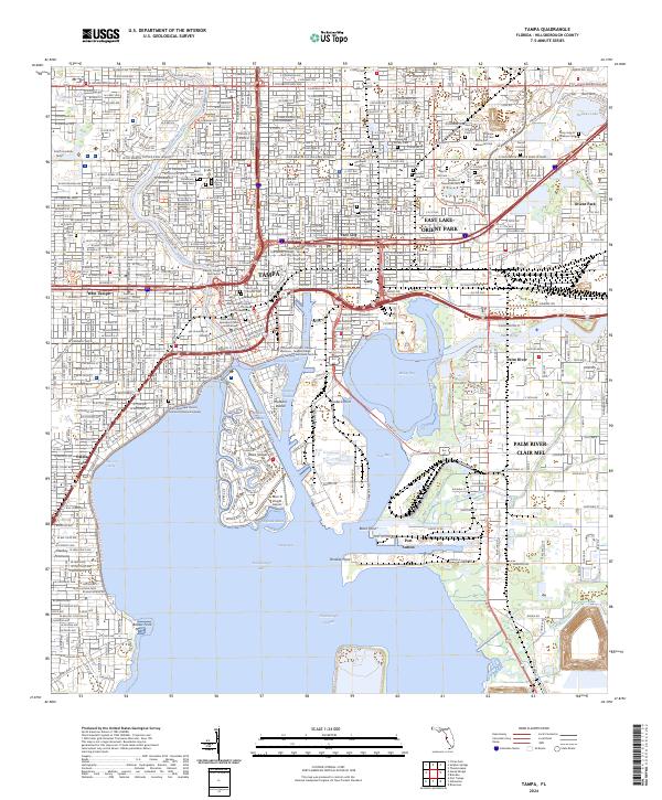
1959 Map of Tampa
USGS Topo · Published 1959About this map
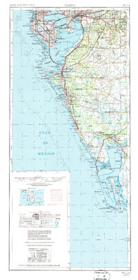
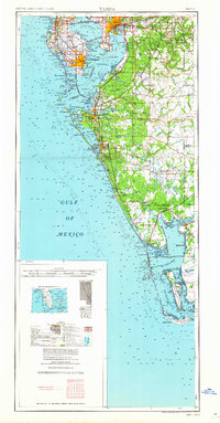
Tampa and St Petersburg anchor this mid-century survey, which details the burgeoning Gulf Coast landscape before the era of massive development. The map traces the intricate shoreline from the sponge docks of Tarpon Springs down to the remote reaches of Charlotte Harbor, revealing a coastal network defined by barrier islands like Anna Maria Key and Sanibel Island. The infrastructure of the era is clearly marked, with the Atlantic Coast Line and Seaboard Air Line railroads threading through inland citrus and ranching country.
Find a feature on this map
64 named features on this map. Tap any name to fly to it.
Don’t see what you’re looking for? This feature index may not catch every label — zoom into the map to look around manually.
Map Details
Editions of this 1959 Tampa Map
This is the sole edition of this map. No revisions or reprints were ever made.
Historical Maps of Tampa Through Time
14 maps found

1921 Tampa
Hillsborough County, FL

1944 Tampa
Hillsborough County, FL
1947 Tampa
Hillsborough County, FL
1956 Tampa
Hillsborough County, FL
1956 Tampa
Hillsborough County, FL
1959 Tampa
Hillsborough County, FL
1960 Tampa
Hillsborough County, FL

1972 Tampa
Hillsborough County, FL
1995 Tampa
Hillsborough County, FL
2012 Tampa
Hillsborough County, FL
2015 Tampa
Hillsborough County, FL
2018 Tampa
Hillsborough County, FL

2021 Tampa
Hillsborough County, FL
2024 Tampa
Hillsborough County, FL