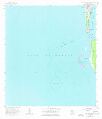
1958 Map of Port Boca Grande
USGS Topo · Published 1977About this map
Gasparilla Island anchors the northern edge of this coastal survey, where the settlement of Boca Grande and the shipping hub at Port Boca Grande reflect a mid-century maritime economy. This 1958 landscape, with revisions through 1972, highlights the critical deep-water access provided by the Boca Grande Channel linking the Gulf of Mexico to Charlotte Harbor. The presence of the Seaboard Coast Line railroad terminates at the southern tip of the island, underscoring the port's role in transporting Florida's industrial output. South across the pass, the northern end of Cayo Costa remains largely undeveloped, defined by natural features like Murdock Point. Local infrastructure, including a Landing Field and multiple structures marked Lighthouse, points to the essential navigation and transportation needs of this barrier island chain.
Find a feature on this map
15 named features on this map. Tap any name to fly to it.
Don’t see what you’re looking for? This feature index may not catch every label — zoom into the map to look around manually.
Map Details
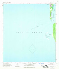
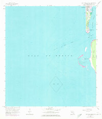
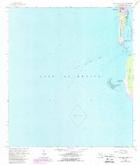
Editions of this 1958 Port Boca Grande Map
5 editions found
Other maps of this area

1956 · Tampa
USGS Topo · 1:250,000

1956 · Charlotte Harbor
USGS Topo · 1:250,000

1957 · Punta Gorda SW
USGS Topo · 1:24,000

1957 · Placida
USGS Topo · 1:24,000

1958 · Captiva
USGS Topo · 1:24,000

1958 · Port Boca Grande
USGS Topo · 1:24,000

1958 · Bokeelia
USGS Topo · 1:24,000

1959 · Tampa
USGS Topo · 1:250,000

1960 · Tampa
USGS Topo · 1:250,000

1972 · Tampa
USGS Topo · 1:250,000