Loading...
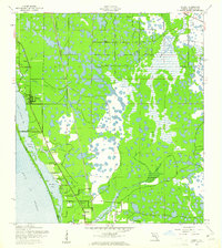
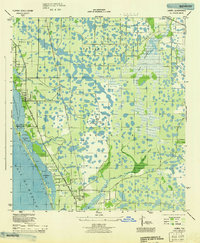
Loading map...1943 Map of Laurel
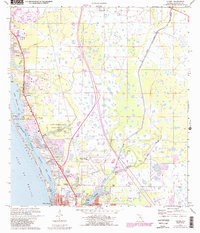
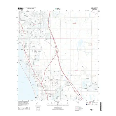
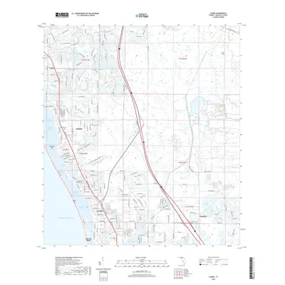
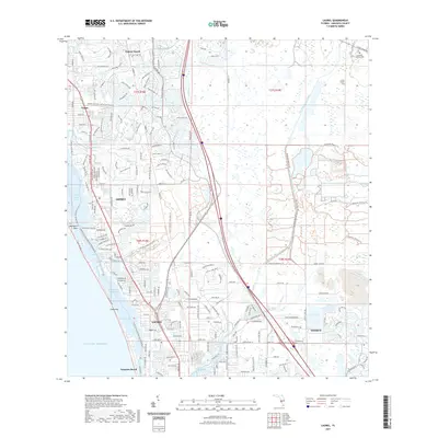
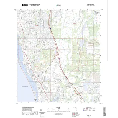
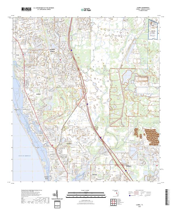
USGS Topo · Published 1961About this map
The Seaboard Air Line corridor anchors the inland landscape of this 1943 survey, running parallel to a coastline defined by intricate bay systems and tidal inlets. Coastal settlements like Osprey and Laurel are situated near the transition from the mainland to the protected waters of Little Sarasota Bay and Blackburn Bay. The presence of the Laurel Sch and the Blackburn Point Bridge highlights the early infrastructure connecting these shorefront communities.
Find a feature on this map
20 named features on this map. Tap any name to fly to it.
Don’t see what you’re looking for? This feature index may not catch every label — zoom into the map to look around manually.
Map Details
Date Portrayed1943
Date Published1961
PublisherU.S. Geological Survey
Map TypeTopographic
Scale1:24,000
Physical Dimensions24 x 26.9 inches
Editions of this 1943 Laurel Map
This is the sole edition of this map. No revisions or reprints were ever made.
Historical Maps of Venice Through Time
9 maps found
Featured Locations
Source Details
SourceU.S. Geological Survey
CopyrightPublic Domain