Old Maps of Dennet, Florida for Metal Detecting
Plan your next treasure hunt with 10 historic maps of Dennet. Find old homesites, ghost towns, trails, and gathering spots that may be lost to time — perfect for identifying promising metal detecting locations.
- Locate forgotten sites: Uncover places like long-lost settlements, abandoned rail lines, or gathering spots.
- Plan better hunts: Use map overlays combined with LiDAR or satellite views to narrow in on historically rich areas.
- Made for detectorists: Thousands of hobbyists use these maps to discover relics, coins, and hidden history.
Use these historic maps to boost your research and find new opportunities beneath the surface of Dennet.
Dennet, FL maps
(10)- 1954 Map of Valdosta, 1967 Print
 1954 Valdosta1967 Print · USGSThe South Georgia and North Florida borderlands are captured here in the mid-fifties, showing the deep timber and wetland networks of the coastal plain. Researchers can trace the path of the Atlantic Coast Line through Valdosta or explore the interior of the Okefenokee Swamp.2 unique versions available
 - 1958 Map of Valdosta
 1958 Valdosta1958 Print · USGSSouth Georgia and North Florida are captured here in the mid-fifties, showing the vast Okefenokee Swamp and the vital timber and rail corridors connecting the two states. Researchers can locate the footprint of Moody Air Force Base, trace the Live Oak Perry and Gulf railroad, or find early community sites like Bakers Mill and Paradise Church.
 - 1959 Map of Valdosta
 1959 Valdosta1959 Print · USGSThe Georgia-Florida borderlands in the mid-fifties reveal a landscape of massive blackwater swamps and emerging military aviation hubs. Genealogists and historians can trace rail-stop towns like Fargo and Stockton or explore the interior reaches of the Okefenokee Swamp and Billys Island.
 - 1962 Map of Hamburg, 1964 Print
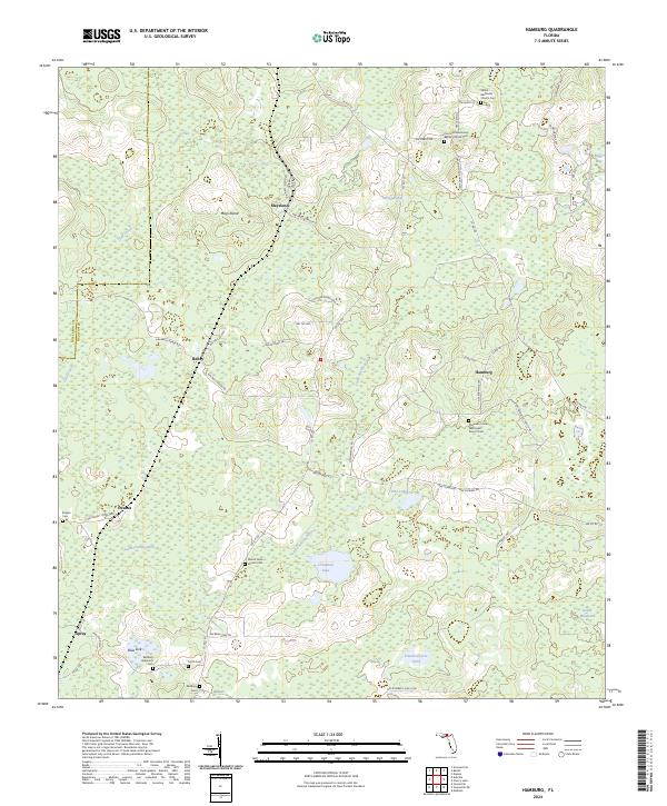
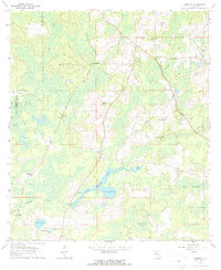 1962 Hamburg1964 Print · USGSMadison County's wet hammocks and river forks are detailed here in the early sixties. Researchers can trace the Southern Railroad Grade and find historic community centers like Hamburg and the Reaper Cem.3 unique versions available
 - 1981 Map of Valdosta
 1981 Valdosta1981 Print · USGSCrossing the Georgia and Florida border in the early eighties, this survey captures the agricultural and military landscape of the coastal plain. Genealogists and historians can trace the rail-linked growth of Valdosta and Quitman or find rural landmarks like New Hope Church and Lake Miccosukee.
 - 2012 Map of Hamburg, 2012 Print
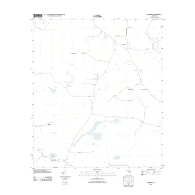 2012 Hamburg2012 Print · USGSCovers Dennet, including Maysland, Hamburg, and other nearby areas
 - 2015 Map of Hamburg, 2015 Print
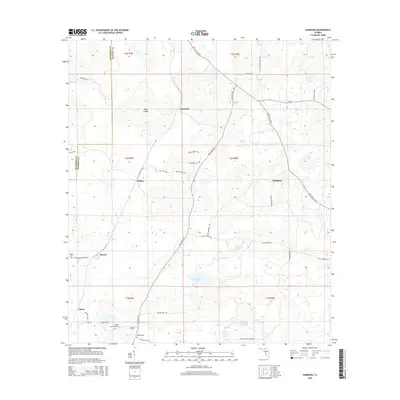 2015 Hamburg2015 Print · USGSCovers Dennet, including Maysland, Hamburg, and other nearby areas
 - 2018 Map of Hamburg, 2018 Print
 2018 Hamburg2018 Print · USGSCovers Dennet, including Maysland, Hamburg, and other nearby areas
 - 2021 Map of Hamburg, 2021 Print
 2021 Hamburg2021 Print · USGSCovers Dennet, including Maysland, Hamburg, and other nearby areas
 - 2024 Map of Hamburg, 2024 Print
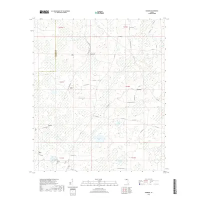
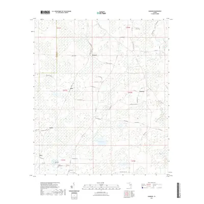
 2024 Hamburg2024 Print · USGSMadison and Jefferson Counties are documented here in the early twenty-first century, showing a landscape of river-bottom wetlands and scattered rural settlements. Genealogists can locate several family and community burial grounds, including Reaper Cem, Smith Cem, and the Ebenezer United Methodist Church Cem.
End of results
Showing maps 1-10 of 10
Top cities near Dennet
Frequently asked questions
- What are the different types of historical maps available for Dennet?
- What is the oldest map of Dennet?
- Where can I purchase historical maps of Dennet for my home or office?
- Where can I download high-res historical maps of Dennet?
- Are there historical topographic maps available for Dennet?
- Is there historical aerial imagery available for Dennet?
- Where are historical maps of Dennet sourced from?