Old Maps of Forest Lakes Park, Florida
Explore 12 old maps of Forest Lakes Park, spanning from 1954 to today. These high-resolution historic maps reveal how streets, neighborhoods, landmarks, and natural features evolved over time — perfect for genealogy, metal detecting, research, and local history exploration.
What you can do with these maps:
- See how Forest Lakes Park changed over time: Compare historical maps to modern-day views to trace roads, homesites, rail lines & more.
- View detailed metadata: Each map includes creators, publishers, year, scale, and archive source.
- Overlay maps with satellite & LiDAR: Visualize the past alongside modern tools to explore terrain & human change.
- Trusted historical sources: Maps sourced from the USGS, Library of Congress, and other archives.
- Access maps your way: View online, download high-res files, or order prints for personal or research use.
Start exploring old maps of Forest Lakes Park to uncover forgotten places, hidden landmarks, and the deep history beneath your feet.
Forest Lakes Park, FL maps
(12)- 1954 Map of Daytona Beach, 1974 Print
 1954 Daytona Beach1974 Print · USGSNortheast Florida is captured in the mid-1950s, showing the transition from river-based commerce to coastal tourism. Researchers can trace the Florida East Coast rail lines and find historic sites like Castillo de San Marcos Nat Mon and Palatka.
 - 1958 Map of Daytona Beach
 1958 Daytona Beach1958 Print · USGSThe Florida coast and St. Johns River valley are captured in the late 1950s, showing a landscape defined by citrus-belt rail towns and Atlantic shorelines. Genealogists can trace family roots through riverside settlements like Palatka and Welaka or coastal hubs like Daytona Beach.2 unique versions available
 - 1964 Map of Daytona Beach
 1964 Daytona Beach1964 Print · USGSCoastal Florida in the mid-1960s shows a fascinating balance between burgeoning beach tourism and the deep interior wilderness of the Ocala National Forest. Researchers can trace the path of the Florida East Coast railway through historic settlements like St. Augustine, Marineland, and Palatka.
 - 1972 Map of Lake Mary, 1973 Print
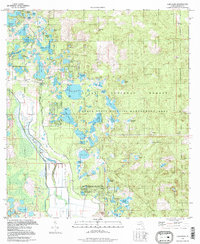
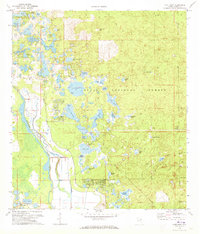 1972 Lake Mary1973 Print · USGSWithin the Ocala National Forest in the early seventies, this survey traces the wild wetlands and early settlements along the Oklawaha River. Genealogists and researchers can locate landmarks like Moss Bluff, the Big Scrub Camp, and the small Cem tucked near the riverbanks.3 unique versions available
 - 1978 Map of Daytona Beach, 1980 Print
 1978 Daytona Beach1980 Print · USGSCoastal development meets the wild Florida interior in the late seventies, spanning from the Atlantic beaches to the St. Johns River. Trace the growth of Daytona Beach or find inland outposts like Salt Springs, De Leon Springs, and the U S Naval Reservation.2 unique versions available
 - 1994 Map of Lake Mary, 1998 Print
 1994 Lake Mary1998 Print · USGSMarion County's deep woods and prairie wetlands are preserved here in the late twentieth century. Researchers can locate the Moss Bluff Ch and trace the shores of Lake Mary, Doe Lake, and Lake Catherine within the sprawling Ocala National Forest.
 - 2012 Map of Lake Mary, 2012 Print
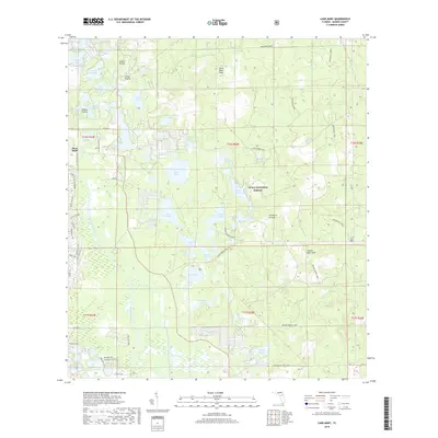
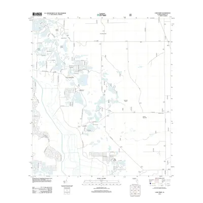 2012 Lake Mary2012 Print · USGSCovers Forest Lakes Park, including Big Scrub, Marion County, and other nearby areas
 - 2015 Map of Lake Mary, 2015 Print
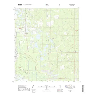
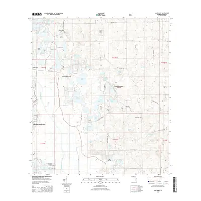 2015 Lake Mary2015 Print · USGSCovers Forest Lakes Park, including Big Scrub, Marion County, and other nearby areas
 - 2018 Map of Lake Mary, 2018 Print
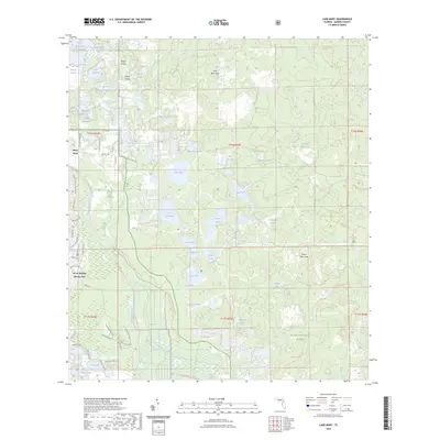
 2018 Lake Mary2018 Print · USGSCovers Forest Lakes Park, including Big Scrub, Marion County, and other nearby areas
 - 2021 Map of Lake Mary, 2021 Print
 2021 Lake Mary2021 Print · USGSCovers Forest Lakes Park, including Big Scrub, Marion County, and other nearby areas
 - 2023 Map of Lake Mary, 2023 Print
 2023 Lake Mary2023 Print · USGSCovers Forest Lakes Park, including Big Scrub, Marion County, and other nearby areas
 - 2024 Map of Lake Mary, 2024 Print
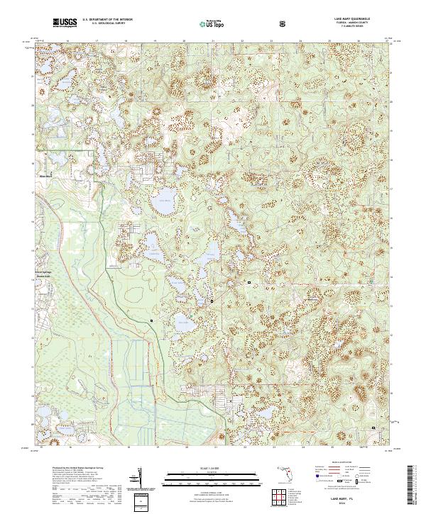 2024 Lake Mary2024 Print · USGSMarion County's pine scrub and prairie systems are documented here in the early twenty-first century as they transition into the Ocala National Forest. Researchers can trace the edges of Moss Bluff or locate the many interior water bodies and prairies like Doe Lake and Grassy Prairie.
End of results
Showing maps 1-12 of 12
Top cities near Forest Lakes Park
- The Villages historical maps
- Ocala historical maps
- Lady Lake historical maps
- Wildwood historical maps
- Belleview historical maps
- Fruitland Park historical maps
See more
Frequently asked questions
- What are the different types of historical maps available for Forest Lakes Park?
- What is the oldest map of Forest Lakes Park?
- Where can I purchase historical maps of Forest Lakes Park for my home or office?
- Where can I download high-res historical maps of Forest Lakes Park?
- Are there historical topographic maps available for Forest Lakes Park?
- Is there historical aerial imagery available for Forest Lakes Park?
- Where are historical maps of Forest Lakes Park sourced from?