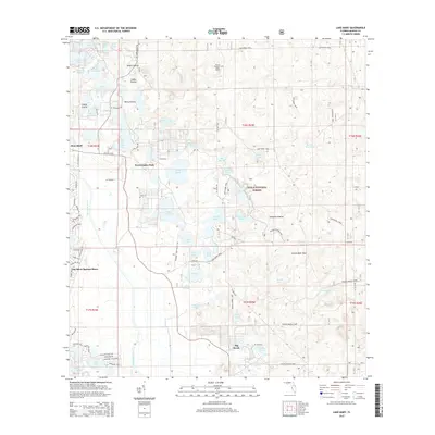
2015 Map of Lake Mary
USGS Topo · Published 2015About this map
Ocala National Forest dominates this Central Florida landscape, characterized by a complex network of wetlands and dry prairies. The eastern portion of the map is defined by the Big Scrub area, an ecologically distinct region of sand pine and scrub oak. This 2015 survey reveals an intricate pattern of water bodies, from the larger Island Lake and Lake Mary to more secluded spots like Doe Lake and Fish Trap Pond.
Find a feature on this map
108 named features on this map. Tap any name to fly to it.
Don’t see what you’re looking for? This feature index may not catch every label — zoom into the map to look around manually.
Map Details
Editions of this 2015 Lake Mary Map
This is the sole edition of this map. No revisions or reprints were ever made.
Other maps of this area

1954 · Daytona Beach
USGS Topo · 1:250,000

1955 · Orlando
USGS Topo · 1:250,000

1957 · Orlando
USGS Topo · 1:250,000

1958 · Orlando
USGS Topo · 1:250,000

1958 · Daytona Beach
USGS Topo · 1:250,000

1962 · Orlando
USGS Topo · 1:250,000

1964 · Daytona Beach
USGS Topo · 1:250,000

1965 · Umatilla
USGS Topo · 1:24,000
1966 · Lady Lake
USGS Topo · 1:24,000
1966 · Emeralda Island
USGS Topo · 1:24,000