2000s (21st Century) Maps of Linadale, Florida
Explore 5 historic maps of Linadale from the 2000s (21st Century). These maps offer a rare glimpse into what life looked like during the 2000s — showing old roads, neighborhoods, homes, and landmarks that have changed or disappeared over time.
Whether you're researching your family's past, planning a metal detecting trip, or studying how Linadale's landscape evolved across the 2000s, these high-resolution maps are a powerful tool for exploring the history of this region.
- Focus on a specific era: All maps on this page are from the 2000s, giving you a focused view of this time period.
- See what’s changed: Compare century-old streets, trails, and buildings to today's modern landscape using overlays and satellite layers.
- Research with precision: Use these maps for genealogy, historical research, land use analysis, or educational projects.
- View, download, or print: Maps are fully viewable online in high resolution, and can be downloaded or printed for your own records.
Start exploring Linadale's history through authentic maps from the 2000s. This is your window into the past.
Linadale, FL maps
(5)- 2012 Map of Emeralda Island, 2012 Print
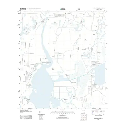 2012 Emeralda Island2012 Print · USGSCovers Linadale, including Starkes Ferry, Marion County, and other nearby areas
 - 2015 Map of Emeralda Island, 2015 Print
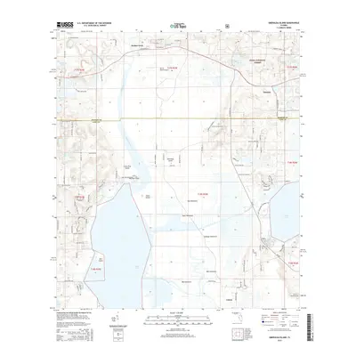 2015 Emeralda Island2015 Print · USGSCovers Linadale, including Starkes Ferry, Marion County, and other nearby areas
 - 2018 Map of Emeralda Island, 2018 Print
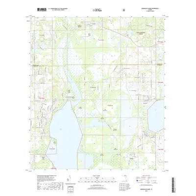 2018 Emeralda Island2018 Print · USGSCovers Linadale, including Starkes Ferry, Marion County, and other nearby areas
 - 2021 Map of Emeralda Island, 2021 Print
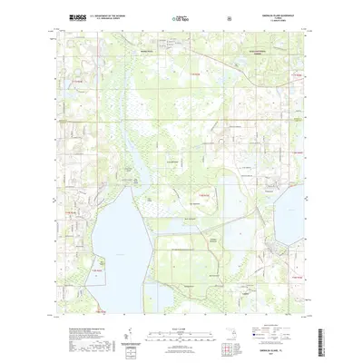 2021 Emeralda Island2021 Print · USGSCovers Linadale, including Starkes Ferry, Marion County, and other nearby areas
 - 2024 Map of Emeralda Island, 2024 Print
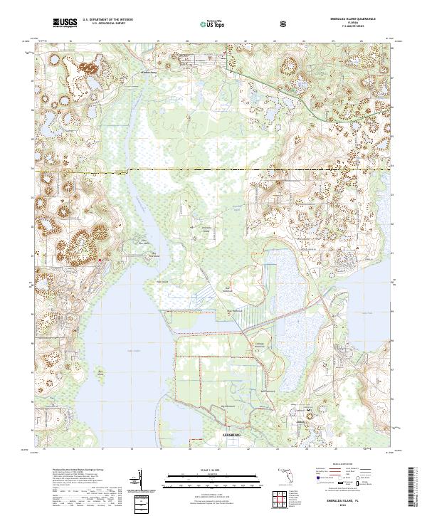 2024 Emeralda Island2024 Print · USGSFlorida’s interior wetlands and river systems are shown here in the 2020s, centered on the diverse hammocks of the Ocklawaha River. Researchers can locate the site of Starkes Ferry or trace the boundaries of the Emeralda Marsh Conservation Area Trl near Lisbon.
End of results
Showing maps 1-5 of 5
Top cities near Linadale
- The Villages historical maps
- Leesburg historical maps
- Eustis historical maps
- Tavares historical maps
- Mount Dora historical maps
- Lady Lake historical maps
See more
Frequently asked questions
- What are the different types of historical maps available for Linadale?
- What is the oldest map of Linadale?
- Where can I purchase historical maps of Linadale for my home or office?
- Where can I download high-res historical maps of Linadale?
- Are there historical topographic maps available for Linadale?
- Is there historical aerial imagery available for Linadale?
- Where are historical maps of Linadale sourced from?