Old Maps of Orange Lake, Florida for Hiking & Exploration
Hike through history with 12 historic maps of Orange Lake. Explore old trails, ghost towns, and forgotten backroads — perfect for outdoor adventurers and local explorers.
- Rediscover forgotten places: Map out old mining camps, roads, and footpaths that no longer exist on modern maps.
- Layer with modern tools: Combine with LiDAR or satellite views to plan hikes through historical terrain.
- Made for exploration: Popular among hikers, overlanders, and local history lovers.
Use these maps to find adventure and explore the hidden past of Orange Lake.
Orange Lake, FL maps
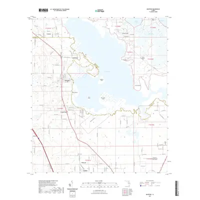
(12)- 1893 Map of Citra, 1960 Print
 1893 Citra1960 Print · USGSMarion County in the late nineteenth century was a hub of industrial mining and railroad expansion. Genealogists and historians can trace the early phosphate boom at the French Phosphate Mines or locate old rail stops in Citra, McIntosh, and Anthony.
 - 1895 Map of Citra
 1895 Citra1895 Print · USGSNorthern Marion County and southern Alachua County are shown here in the 1890s, when phosphate mining and citrus transport drove the local economy. Trace the old rail lines and explore the sites of the French Phosphate Mines, Citra, and McIntosh.6 unique versions available
 - 1954 Map of Gainesville, 1965 Print
 1954 Gainesville1965 Print · USGSMid-century North Central Florida comes into focus as a landscape of timber, rails, and river towns along the Gulf. Trace family roots in established centers like Gainesville or follow the path of the Suwannee River to the coastal docks of Cedar Key.3 unique versions available
 - 1958 Map of Gainesville
 1958 Gainesville1958 Print · USGSNorth Central Florida’s rail and river networks are frozen in time just before the interstate era. Genealogists and historians can trace the paths of the Atlantic Coast Line through Gainesville or locate coastal settlements like Steinhatchee and Cedar Key.
 - 1959 Map of Gainesville
 1959 Gainesville1959 Print · USGSNorth Florida in the mid-fifties is seen here from the Gulf coast to the inland lakes, showing the rail-and-river network before modern highways dominated. Researchers can trace the paths of the Seaboard Air Line through towns like Chiefland and Micanopy, or explore the coastal inlets of Waccasassa Bay.
 - 1968 Map of McIntosh, 1971 Print
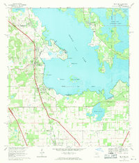 1968 McIntosh1971 Print · USGSNorth-central Florida's lake country is captured here in the late sixties as the rail-and-road corridor through McIntosh served a landscape of citrus and wetlands. Genealogists can trace property near the Arredondo Grant Boundary or locate family landmarks like Rawlings Park and the small town of Evinston.3 unique versions available
 - 1978 Map of Ocala, 1980 Print
 1978 Ocala1980 Print · USGSFlorida's interior heartland and Gulf coast are seen here in the late seventies, showing the transition from freshwater springs to coastal hammocks. Genealogists and historians can trace the Seaboard Coast Line Railroad through Chiefland, Bronson, and Dunnellon.2 unique versions available
 - 2012 Map of McIntosh, 2012 Print
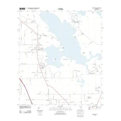 2012 McIntosh2012 Print · USGSCovers Orange Lake, including Reddick, McIntosh, and other nearby areas
 - 2015 Map of McIntosh, 2015 Print
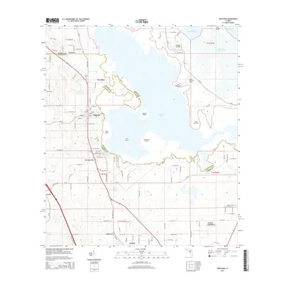 2015 McIntosh2015 Print · USGSCovers Orange Lake, including Reddick, McIntosh, and other nearby areas
 - 2018 Map of McIntosh, 2018 Print
 2018 McIntosh2018 Print · USGSCovers Orange Lake, including Reddick, McIntosh, and other nearby areas
 - 2021 Map of McIntosh, 2021 Print
 2021 McIntosh2021 Print · USGSCovers Orange Lake, including Reddick, McIntosh, and other nearby areas
 - 2024 Map of McIntosh, 2024 Print
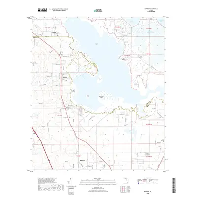
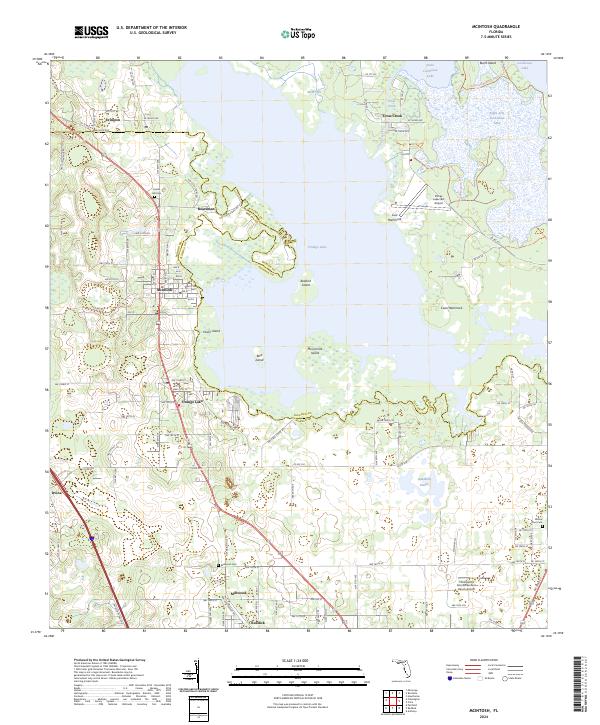 2024 McIntosh2024 Print · USGSThe shorelines of Orange Lake and Cross Creek define this portion of the Alachua-Marion county line. Genealogists and local historians can trace family roots through McIntosh, Evinston, and Millwood Cem, or locate the historic Center Hill Cem.
End of results
Showing maps 1-12 of 12
Top cities near Orange Lake
- Gainesville historical maps
- Ocala historical maps
- Citra historical maps
- Williston historical maps
- Hawthorne historical maps
- East Williston historical maps
See more
Frequently asked questions
- What are the different types of historical maps available for Orange Lake?
- What is the oldest map of Orange Lake?
- Where can I purchase historical maps of Orange Lake for my home or office?
- Where can I download high-res historical maps of Orange Lake?
- Are there historical topographic maps available for Orange Lake?
- Is there historical aerial imagery available for Orange Lake?
- Where are historical maps of Orange Lake sourced from?