Old Maps of Key Biscayne, Florida for Metal Detecting
Plan your next treasure hunt with 14 historic maps of Key Biscayne. Find old homesites, ghost towns, trails, and gathering spots that may be lost to time — perfect for identifying promising metal detecting locations.
- Locate forgotten sites: Uncover places like long-lost settlements, abandoned rail lines, or gathering spots.
- Plan better hunts: Use map overlays combined with LiDAR or satellite views to narrow in on historically rich areas.
- Made for detectorists: Thousands of hobbyists use these maps to discover relics, coins, and hidden history.
Use these historic maps to boost your research and find new opportunities beneath the surface of Key Biscayne.
Key Biscayne, FL maps
(14)- 1947 Map of Key Biscayne, 1961 Print
 1947 Key Biscayne1961 Print · USGSKey Biscayne and the Miami waterfront are shown here just after the war, as the new causeway began to transform the islands. Researchers can trace early infrastructure like the US Coast Guard Air Station, Crandon Park, and the grounds of the Fla Adirondack Prep Sch.
 - 1949 Map of Key Biscayne
 1949 Key Biscayne1949 Print · USGSBiscayne Bay and its barrier islands are captured here in the late 1940s, just as the Rickenbacker Causeway opened new access to the keys. Researchers can trace early infrastructure like Airline Road and landmarks like the Fla Adirondack Prep Sch or Cape Florida.2 unique versions available
 - 1956 Map of Miami, 1963 Print
 1956 Miami1963 Print · USGSSouthern Florida experiences post-war expansion in the 1950s, even as the wilderness remains dominant across the southern peninsula. Genealogists and historians can trace suburban growth in Opa-locka and Perrine or locate remote sites like the Tamiami Ranger Station.5 unique versions available
 - 1958 Map of Miami
 1958 Miami1958 Print · USGSSoutheast Florida in the late fifties reveals a coastal boom held in balance with the wild sawgrass and mangroves of Everglades National Park. Trace the paths of the Florida East Coast RR through Homestead or locate the U S Marine Corps Air Station during the height of the Cold War.
 - 1962 Map of Key Biscayne, 1964 Print
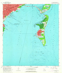 1962 Key Biscayne1964 Print · USGSCoastal Miami-Dade County in the early sixties showcases a period of rapid development and maritime expansion. Genealogists and historians can trace the growth of Coconut Grove and Key Biscayne, or locate landmarks like the Seaquarium and Cape Florida Old Lighthouse Tower.3 unique versions available
 - 1981 Map of Miami, 1982 Print
 1981 Miami1982 Print · USGSThe Miami metropolitan corridor and the vast marshlands of the interior are seen here in the early 1980s. Trace the reach of Florida's Turnpike and the Florida East Coast Railway past Opa-locka, Coral Gables, and the Miami International Airport.
 - 1988 Map of Miami
 1988 Miami1988 Print · USGSSouth Florida in the late eighties shows the sharp edge between the growing urban Atlantic coast and the vast wetlands of Everglades National Park. Researchers can trace the path of the Tamiami Trail and locate coastal settlements like Ochopee or Chokoloskee.
 - 1988 Map of Key Biscayne
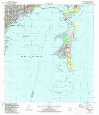 1988 Key Biscayne1988 Print · USGSMiami and the northern Keys are captured in the late eighties as urban growth met protected coastal waters. Researchers can trace the layout of Coconut Grove or find local landmarks like St Agnes Sch and the Old Lighthouse Tower.
 - 1994 Map of Key Biscayne, 1999 Print
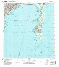 1994 Key Biscayne1999 Print · USGSBiscayne Bay and the Miami coastline are seen here in the mid-nineties, showing a landscape shaped by coastal preservation and urban expansion. Researchers can trace the development of Virginia Key and Key Biscayne through landmarks like the Seaquarium, St Agnes Sch, and the Old Lighthouse Tower.
 - 2012 Map of Key Biscayne, 2012 Print
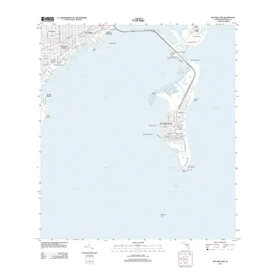 2012 Key Biscayne2012 Print · USGSKey Biscayne and the Miami waterfront appear here in the early twenty-first century, showing a landscape of barrier island preserves and urban marinas. Researchers can trace the layout of Key Biscayne streets and locate landmarks like the Cape Florida Light and Crandon Beach.
 - 2015 Map of Key Biscayne, 2015 Print
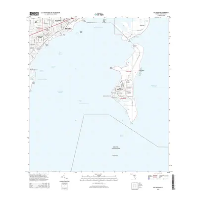 2015 Key Biscayne2015 Print · USGSCoastal Miami and the barrier islands come into focus during the mid-2010s as the urban landscape meets the Atlantic. Researchers can trace the developed shorelines of Key Biscayne and Coconut Grove or locate landmarks like Cape Florida and Virginia Key.
 - 2018 Map of Key Biscayne, 2018 Print
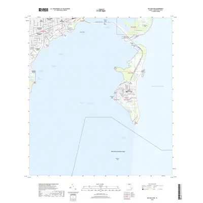 2018 Key Biscayne2018 Print · USGSThe barrier islands and mainland neighborhoods of Miami appear in high detail during this recent period of coastal development. Trace the street grids of Coconut Grove or explore the edges of Biscayne National Park and Cape Florida.
 - 2021 Map of Key Biscayne, 2021 Print
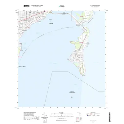 2021 Key Biscayne2021 Print · USGSThe Miami coastline and barrier islands are captured in detail during this era of modern suburban and marine development. Genealogists and historians can trace neighborhood growth in Coconut Grove or locate landmarks like Mercy Hospital and the historic Cape Florida point.
 - 2024 Map of Key Biscayne, 2024 Print
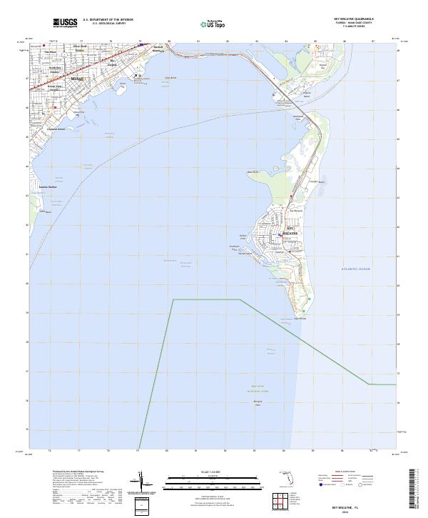 2024 Key Biscayne2024 Print · USGSCoastal Miami and its barrier islands are captured in this contemporary survey of the region's shoreline and residential development. Local historians can trace the urban layout of Coconut Grove or explore the marine geography of Virginia Key and Cape Florida.
End of results
Showing maps 1-14 of 14
Top cities near Key Biscayne
- Miami historical maps
- Hialeah historical maps
- Kendall historical maps
- Miami Beach historical maps
- North Miami historical maps
- Coral Gables historical maps
See more
Frequently asked questions
- What are the different types of historical maps available for Key Biscayne?
- What is the oldest map of Key Biscayne?
- Where can I purchase historical maps of Key Biscayne for my home or office?
- Where can I download high-res historical maps of Key Biscayne?
- Are there historical topographic maps available for Key Biscayne?
- Is there historical aerial imagery available for Key Biscayne?
- Where are historical maps of Key Biscayne sourced from?