Old Maps of The Keyhole, Florida for Academic Research
Study the evolution of The Keyhole with 12 high-resolution historic maps. Whether you're teaching, researching, or modeling changes in land use, these maps provide essential visual documentation of urban, environmental, and geographic change.
- Analyze long-term change: Track patterns in development, transportation, and natural features.
- Ideal for environmental or urban studies: Support academic projects with primary historical map data.
- Use in the classroom or lab: Educators and researchers rely on these maps to bring historical context to life.
These maps are a powerful tool for teaching, research, and visualizing how The Keyhole has changed over the decades.
The Keyhole, FL maps
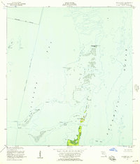
(12)- 1948 Map of Soldier Key
 1948 Soldier Key1948 Print · USGSBiscayne Bay and the upper Florida Keys are captured here just after the war, showing the islands in their natural state. Maritime researchers can locate navigational aids and geographic landmarks like Soldier Key, the Ragged Keys, and a coastal Light.2 unique versions available
 - 1956 Map of Soldier Key, 1957 Print
 1956 Soldier Key1957 Print · USGSBiscayne Bay and the upper Florida Keys appear here as a network of shoals and coral islands in the years following World War II. Boaters and maritime historians can trace the Intracoastal Waterway and locate landmarks like the Lookout Tower and Soldier Key.3 unique versions available
 - 1956 Map of Miami, 1963 Print
 1956 Miami1963 Print · USGSSouthern Florida experiences post-war expansion in the 1950s, even as the wilderness remains dominant across the southern peninsula. Genealogists and historians can trace suburban growth in Opa-locka and Perrine or locate remote sites like the Tamiami Ranger Station.5 unique versions available
 - 1958 Map of Miami
 1958 Miami1958 Print · USGSSoutheast Florida in the late fifties reveals a coastal boom held in balance with the wild sawgrass and mangroves of Everglades National Park. Trace the paths of the Florida East Coast RR through Homestead or locate the U S Marine Corps Air Station during the height of the Cold War.
 - 1981 Map of Miami, 1982 Print
 1981 Miami1982 Print · USGSThe Miami metropolitan corridor and the vast marshlands of the interior are seen here in the early 1980s. Trace the reach of Florida's Turnpike and the Florida East Coast Railway past Opa-locka, Coral Gables, and the Miami International Airport.
 - 1988 Map of Miami
 1988 Miami1988 Print · USGSSouth Florida in the late eighties shows the sharp edge between the growing urban Atlantic coast and the vast wetlands of Everglades National Park. Researchers can trace the path of the Tamiami Trail and locate coastal settlements like Ochopee or Chokoloskee.
 - 1988 Map of Soldier Key
 1988 Soldier Key1988 Print · USGSCoastal Miami-Dade in the late eighties reveals a landscape of preservation and maritime navigation. Researchers can trace the layout of Islandia, locate navigation Lights, and explore island features like Boca Chita Key and the Ragged Keys.
 - 2012 Map of Soldier Key, 2012 Print
 2012 Soldier Key2012 Print · USGSCovers The Keyhole, including Miami-Dade County, United States, and other nearby areas
 - 2015 Map of Soldier Key, 2015 Print
 2015 Soldier Key2015 Print · USGSCovers The Keyhole, including Miami-Dade County, United States, and other nearby areas
 - 2018 Map of Soldier Key, 2018 Print
 2018 Soldier Key2018 Print · USGSCovers The Keyhole, including Miami-Dade County, United States, and other nearby areas
 - 2021 Map of Soldier Key, 2021 Print
 2021 Soldier Key2021 Print · USGSCovers The Keyhole, including Miami-Dade County, United States, and other nearby areas
 - 2024 Map of Soldier Key, 2024 Print
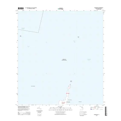
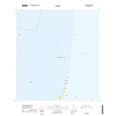
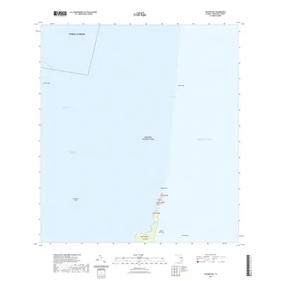
 2024 Soldier Key2024 Print · USGSBiscayne Bay and the Atlantic coastline are shown in this modern survey of the northern Florida Keys. Trace maritime history through the Ragged Keys, Soldier Key, and the shoals of the Safety Valve and Featherbed Bank.
End of results
Showing maps 1-12 of 12
Top cities near The Keyhole
- Miami historical maps
- Kendall historical maps
- Homestead historical maps
- Cutler Bay historical maps
- Palmetto Bay historical maps
- Pinecrest historical maps
See more
Frequently asked questions
- What are the different types of historical maps available for The Keyhole?
- What is the oldest map of The Keyhole?
- Where can I purchase historical maps of The Keyhole for my home or office?
- Where can I download high-res historical maps of The Keyhole?
- Are there historical topographic maps available for The Keyhole?
- Is there historical aerial imagery available for The Keyhole?
- Where are historical maps of The Keyhole sourced from?