2000s (21st Century) Maps of Key West, Florida
Explore 11 historic maps of Key West from the 2000s (21st Century). These maps offer a rare glimpse into what life looked like during the 2000s — showing old roads, neighborhoods, homes, and landmarks that have changed or disappeared over time.
Whether you're researching your family's past, planning a metal detecting trip, or studying how Key West's landscape evolved across the 2000s, these high-resolution maps are a powerful tool for exploring the history of this region.
- Focus on a specific era: All maps on this page are from the 2000s, giving you a focused view of this time period.
- See what’s changed: Compare century-old streets, trails, and buildings to today's modern landscape using overlays and satellite layers.
- Research with precision: Use these maps for genealogy, historical research, land use analysis, or educational projects.
- View, download, or print: Maps are fully viewable online in high resolution, and can be downloaded or printed for your own records.
Start exploring Key West's history through authentic maps from the 2000s. This is your window into the past.
Key West, FL maps
(11)- 2012 Map of Boca Chica Key, 2012 Print
 2012 Boca Chica Key2012 Print · USGSCovers Key West, including Big Coppitt Key, El Chico, and other nearby areas
 - 2012 Map of Key West, 2012 Print
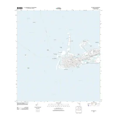 2012 Key West2012 Print · USGSCovers Key West, including Monroe County, United States, and other nearby areas
 - 2015 Map of Boca Chica Key, 2015 Print
 2015 Boca Chica Key2015 Print · USGSCovers Key West, including Big Coppitt Key, El Chico, and other nearby areas
 - 2015 Map of Key West, 2015 Print
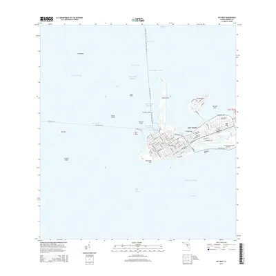 2015 Key West2015 Print · USGSCovers Key West, including Monroe County, United States, and other nearby areas
 - 2018 Map of Key West, 2018 Print
 2018 Key West2018 Print · USGSCovers Key West, including Monroe County, United States, and other nearby areas
 - 2018 Map of Boca Chica Key, 2018 Print
 2018 Boca Chica Key2018 Print · USGSCovers Key West, including Big Coppitt Key, El Chico, and other nearby areas
 - 2021 Map of Boca Chica Key, 2021 Print
 2021 Boca Chica Key2021 Print · USGSCovers Key West, including Big Coppitt Key, El Chico, and other nearby areas
 - 2021 Map of Key West, 2021 Print
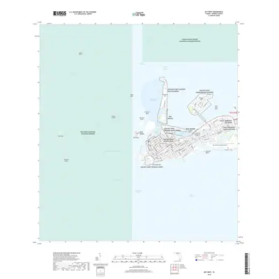
 2021 Key West2021 Print · USGSCovers Key West, including Monroe County, United States, and other nearby areas
 - 2024 Map of Key West, 2024 Print
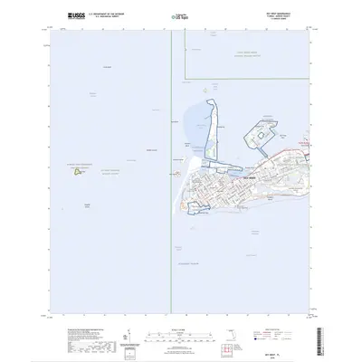 2024 Key West2024 Print · USGSCovers Key West, including Monroe County, United States, and other nearby areas
 - 2024 Map of Boca Chica Key, 2024 Print
 2024 Boca Chica Key2024 Print · USGSThe Lower Florida Keys are shown in detail during their modern era of military and residential development. Local historians can trace the footprints of Stock Island and Big Coppitt Key, or locate landmarks like the Southern Keys Cem and NAVAL HOSPITAL.
 - 2025 Map of Key West, 2025 Print
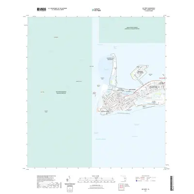
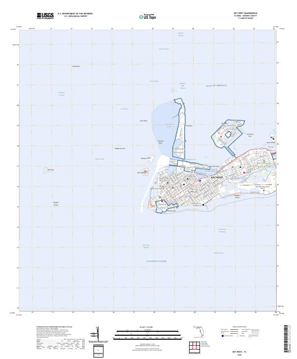 2025 Key West2025 Print · USGSKey West and its surrounding coral keys are captured in this recent survey of Florida's southernmost frontier. Researchers can trace the layout of the Key West Cem, locate the African Slave Cem at Higgs Beach, and explore the military footprints of the Truman Annex.
End of results
Showing maps 1-11 of 11
Top neighborhoods of Key West
- New Town historical maps
- Midtown historical maps
- Old Town historical maps
- Truman Annex1 historical maps
- Bahama Village historical maps
- Casa Marina historical maps
See more
Frequently asked questions
- What are the different types of historical maps available for Key West?
- What is the oldest map of Key West?
- Where can I purchase historical maps of Key West for my home or office?
- Where can I download high-res historical maps of Key West?
- Are there historical topographic maps available for Key West?
- Is there historical aerial imagery available for Key West?
- Where are historical maps of Key West sourced from?