2000s (21st Century) Maps of Niceville, Okaloosa County
Explore 16 historic maps of Niceville from the 2000s (21st Century). These maps offer a rare glimpse into what life looked like during the 2000s — showing old roads, neighborhoods, homes, and landmarks that have changed or disappeared over time.
Whether you're researching your family's past, planning a metal detecting trip, or studying how Niceville's landscape evolved across the 2000s, these high-resolution maps are a powerful tool for exploring the history of this region.
- Focus on a specific era: All maps on this page are from the 2000s, giving you a focused view of this time period.
- See what’s changed: Compare century-old streets, trails, and buildings to today's modern landscape using overlays and satellite layers.
- Research with precision: Use these maps for genealogy, historical research, land use analysis, or educational projects.
- View, download, or print: Maps are fully viewable online in high resolution, and can be downloaded or printed for your own records.
Start exploring Niceville's history through authentic maps from the 2000s. This is your window into the past.
Niceville, Okaloosa County maps
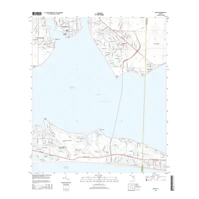
(16)- 2012 Map of Destin, 2012 Print
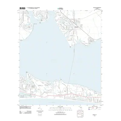 2012 Destin2012 Print · USGSCovers Niceville, including Destin, Valparaiso, and other nearby areas
 - 2012 Map of Niceville, 2012 Print
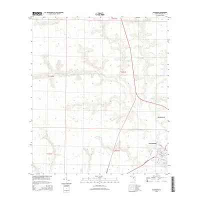
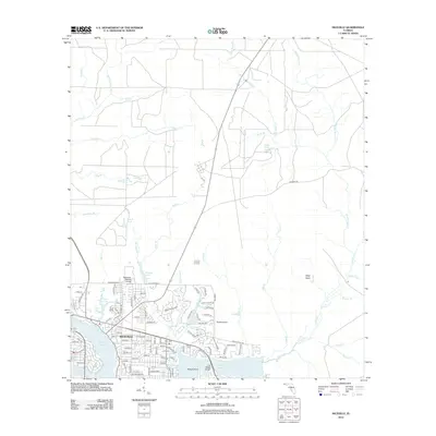 2012 Niceville2012 Print · USGSCovers Niceville, including Valparaiso, Okaloosa County, and other nearby areas
 - 2012 Map of Valparaiso, 2012 Print
 2012 Valparaiso2012 Print · USGSCovers Niceville, including Valparaiso, Okaloosa County, and other nearby areas
 - 2015 Map of Niceville, 2015 Print
 2015 Niceville2015 Print · USGSCovers Niceville, including Valparaiso, Okaloosa County, and other nearby areas
 - 2015 Map of Valparaiso, 2015 Print
 2015 Valparaiso2015 Print · USGSCovers Niceville, including Valparaiso, Okaloosa County, and other nearby areas
 - 2015 Map of Destin, 2015 Print
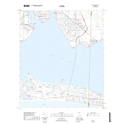
 2015 Destin2015 Print · USGSCovers Niceville, including Destin, Valparaiso, and other nearby areas
 - 2018 Map of Destin, 2018 Print
 2018 Destin2018 Print · USGSCovers Niceville, including Destin, Valparaiso, and other nearby areas
 - 2018 Map of Niceville, 2018 Print
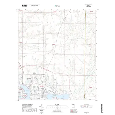 2018 Niceville2018 Print · USGSCovers Niceville, including Valparaiso, Okaloosa County, and other nearby areas
 - 2018 Map of Valparaiso, 2018 Print
 2018 Valparaiso2018 Print · USGSCovers Niceville, including Valparaiso, Okaloosa County, and other nearby areas
 - 2021 Map of Niceville, 2021 Print
 2021 Niceville2021 Print · USGSCovers Niceville, including Valparaiso, Okaloosa County, and other nearby areas
 - 2021 Map of Valparaiso, 2021 Print
 2021 Valparaiso2021 Print · USGSCovers Niceville, including Valparaiso, Okaloosa County, and other nearby areas
 - 2021 Map of Destin, 2021 Print
 2021 Destin2021 Print · USGSCovers Niceville, including Destin, Valparaiso, and other nearby areas
 - 2024 Map of Destin, 2024 Print
 2024 Destin2024 Print · USGSCovers Niceville, including Destin, Valparaiso, and other nearby areas
 - 2024 Map of Niceville, 2024 Print
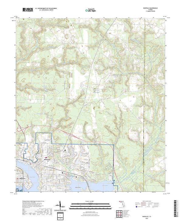 2024 Niceville2024 Print · USGSThe coastal settlements of Niceville and Valparaiso are shown in high detail during their modern development alongside Eglin Air Force Base. Researchers can trace local history at Heritage Gardens Cem or follow the winding Boggy Bayou shoreline to Nelson Point.
 - 2024 Map of Valparaiso, 2024 Print
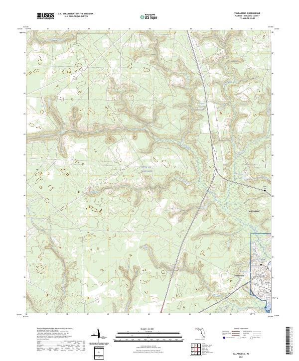 2024 Valparaiso2024 Print · USGSThe coastal and military landscape of the Florida Panhandle is shown here in detail during the 2020s. Genealogists and researchers can trace the modern development around Valparaiso and Niceville, locating sites like the Niceville Community Cem and Boggy Bayou.
 - 2025 Map of Destin, 2025 Print
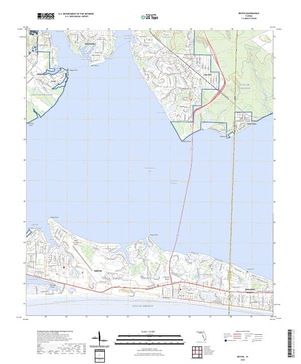 2025 Destin2025 Print · USGSCoastal Florida's evolving maritime landscape is documented here during the mid-2020s, showing the dense development between the Gulf and the bay. Researchers can trace the layout of Niceville, locate the Haugen Cem, and study the sprawling grounds of Eglin Air Force Base.
End of results
Showing maps 1-16 of 16
Frequently asked questions
- What are the different types of historical maps available for Niceville?
- What is the oldest map of Niceville?
- Where can I purchase historical maps of Niceville for my home or office?
- Where can I download high-res historical maps of Niceville?
- Are there historical topographic maps available for Niceville?
- Is there historical aerial imagery available for Niceville?
- Where are historical maps of Niceville sourced from?