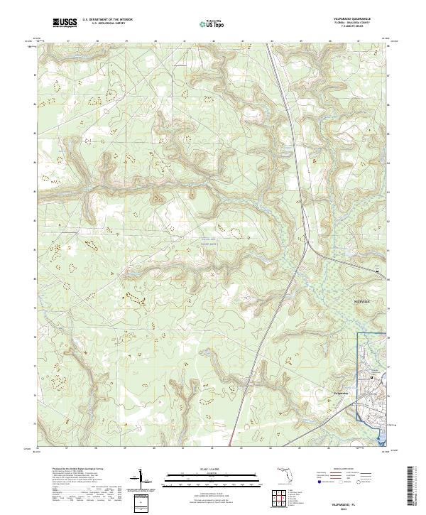
2024 Map of Valparaiso
USGS Topo · Published 2024About this map
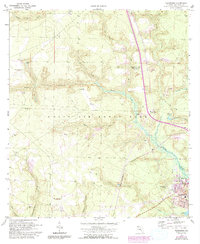
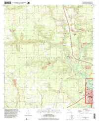
Eglin Air Force Base dominates the central and northern landscape of this Okaloosa County region, where the pine-covered uplands of the Florida Panhandle meet the waters of the Gulf Coast. The dense drainage network, including Turkey Creek, Bens Creek, and Rogue Creek, flows southward toward the developed coastal areas of Valparaiso and Niceville. This modern survey illustrates the proximity of military operations to the residential grid, with streets like Valparaiso Pkwy and Government Ave providing access to the shoreline at Boggy Bayou and Toms Bayou. Local heritage sites, such as the Niceville Community Cem and Erwin Cem, are preserved amidst a landscape defined by both strategic defense lands and expanding suburban infrastructure. Small water bodies like Blue Pond and Anderson Pond are scattered across the northern sections, illustrating the typical hydrography of the interior coastal plain.
Find a feature on this map
43 named features on this map. Tap any name to fly to it.
Don’t see what you’re looking for? This feature index may not catch every label — zoom into the map to look around manually.
Map Details
Editions of this 2024 Valparaiso Map
This is the sole edition of this map. No revisions or reprints were ever made.
Historical Maps of Niceville Through Time
3 maps found