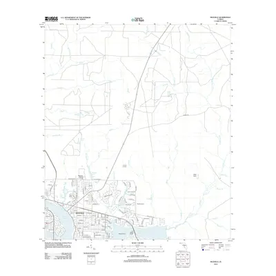
2012 Map of Niceville
USGS Topo · Published 2012About this map
Niceville and the surrounding Choctawhatchee Bay area are defined by a complex network of waterways, including Rocky Bayou, Toms Bayou, and Boogy Bayou. This 2012 survey illustrates the modern street grid of the city, showing thoroughfares such as Valparaiso Blvd and Edge Ave as they interface with the coastal inlets. Notable local institutions like Okaloosa-Watson College and the Ruckel Airport serve as central landmarks for the community.
Find a feature on this map
112 named features on this map. Tap any name to fly to it.
Don’t see what you’re looking for? This feature index may not catch every label — zoom into the map to look around manually.
Map Details
Editions of this 2012 Niceville Map
This is the sole edition of this map. No revisions or reprints were ever made.
Other maps of this area

1934 · Holt
USGS Topo · 1:48,000

1934 · Niceville
USGS Topo · 1:48,000

1935 · Villa Tasso
USGS Topo · 1:48,000

1936 · Niceville
USGS Topo · 1:62,500

1937 · Holt
USGS Topo · 1:62,500

1938 · Mary Esther
USGS Topo · 1:62,500

1938 · Villa Tasso
USGS Topo · 1:62,500

1956 · Niceville
USGS Topo · 1:62,500

1956 · Fort Walton Beach
USGS Topo · 1:62,500

1956 · Holt
USGS Topo · 1:62,500