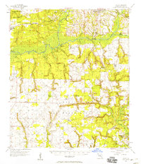
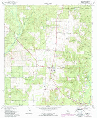
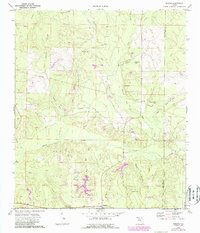
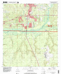
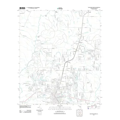
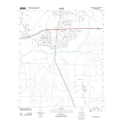
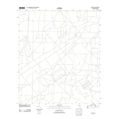
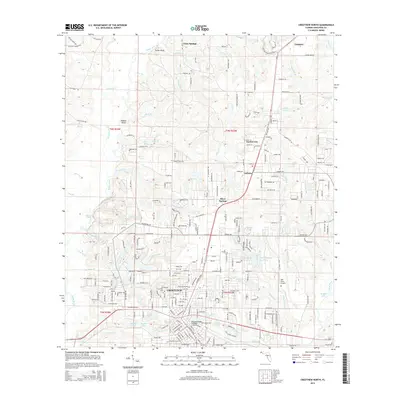
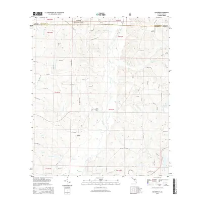
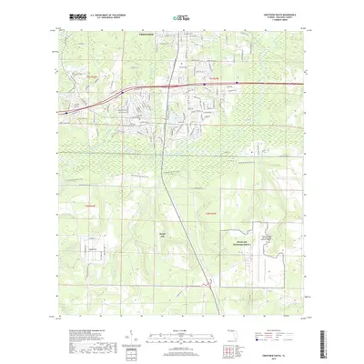
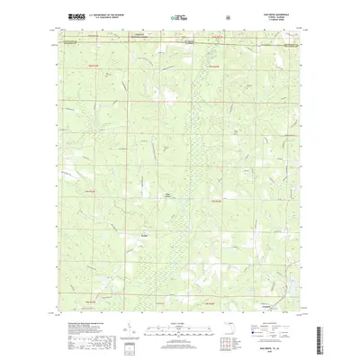
1956 Map of Holt
USGS Topo · Published 1958About this map
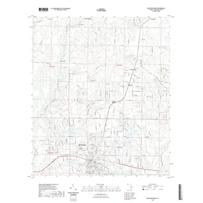
The Yellow River and Shoal River systems converge in this mid-century portrait of Okaloosa County, where the transition from agricultural river valleys to military infrastructure is clearly underway. The northern reaches maintain a traditional rural character, anchored by settlements like Holt and Milligan and the tracks of the Louisville & Nashville Railroad. Historical transit corridors such as the Spanish Trail and Nashville Trail cross the landscape, while community life is centered around local institutions like Antioch Ch and the Holt Sch.
Find a feature on this map
60 named features on this map. Tap any name to fly to it.
Don’t see what you’re looking for? This feature index may not catch every label — zoom into the map to look around manually.
Map Details
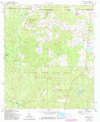
Editions of this 1956 Holt Map
2 editions found
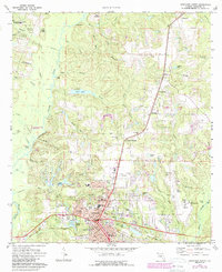
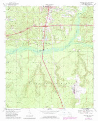
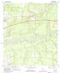
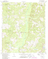
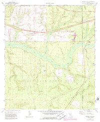
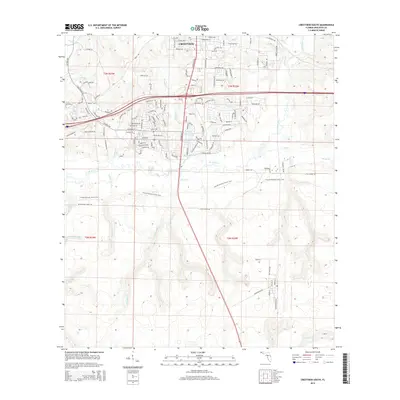
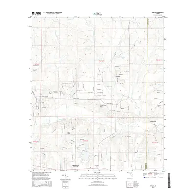
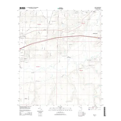
Historical Maps of Crestview Through Time
58 maps found

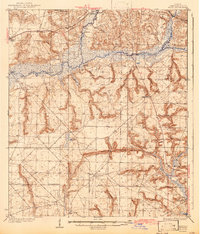
1934 Holt
Okaloosa County, FL
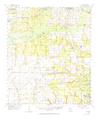
1937 Holt
Okaloosa County, FL
1956 Holt
Okaloosa County, FL
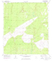
1970 Holt SW
Okaloosa County, FL
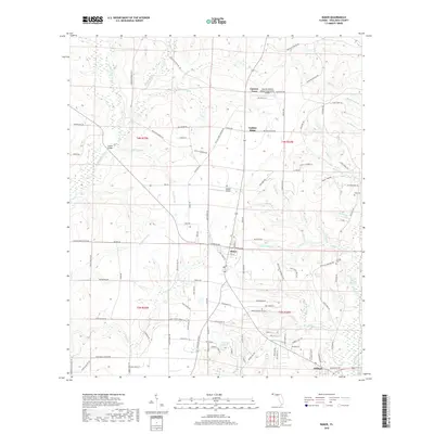
1973 Baker
Okaloosa County, FL
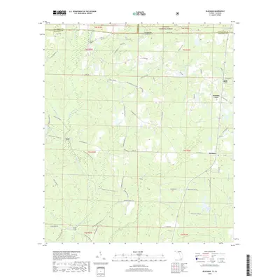
1973 Blackman
Okaloosa County, FL
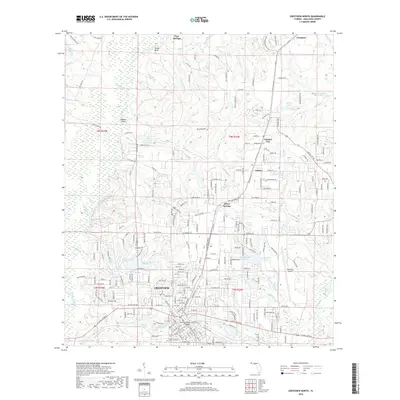
1973 Crestview North
Okaloosa County, FL
1973 Crestview South
Okaloosa County, FL
1973 Dorcas
Okaloosa County, FL
1973 Holt
Okaloosa County, FL
1973 Oak Grove
Okaloosa County, FL
1973 Spencer Flats
Okaloosa County, FL
1994 Crestview South
Okaloosa County, FL
2011 Blackman
Okaloosa County, FL
2011 Oak Grove
Okaloosa County, FL
2012 Baker
Okaloosa County, FL
2012 Crestview North
Okaloosa County, FL
2012 Crestview South
Okaloosa County, FL
2012 Dorcas
Okaloosa County, FL
2012 Holt
Okaloosa County, FL
2012 Holt SW
Okaloosa County, FL
2012 Spencer Flats
Okaloosa County, FL
2015 Baker
Okaloosa County, FL
2015 Blackman
Okaloosa County, FL
2015 Crestview North
Okaloosa County, FL
2015 Crestview South
Okaloosa County, FL
2015 Dorcas
Okaloosa County, FL
2015 Holt
Okaloosa County, FL

2015 Holt SW
Okaloosa County, FL
2015 Oak Grove
Okaloosa County, FL

2015 Spencer Flats
Okaloosa County, FL
2018 Baker
Okaloosa County, FL
2018 Blackman
Okaloosa County, FL
2018 Crestview North
Okaloosa County, FL
2018 Crestview South
Okaloosa County, FL
2018 Dorcas
Okaloosa County, FL
2018 Holt
Okaloosa County, FL
2018 Holt SW
Okaloosa County, FL
2018 Oak Grove
Okaloosa County, FL
2018 Spencer Flats
Okaloosa County, FL
2021 Baker
Okaloosa County, FL
2021 Blackman
Okaloosa County, FL
2021 Crestview North
Okaloosa County, FL

2021 Crestview South
Okaloosa County, FL
2021 Dorcas
Okaloosa County, FL
2021 Holt
Okaloosa County, FL

2021 Holt SW
Okaloosa County, FL

2021 Oak Grove
Okaloosa County, FL

2021 Spencer Flats
Okaloosa County, FL
2024 Baker
Okaloosa County, FL
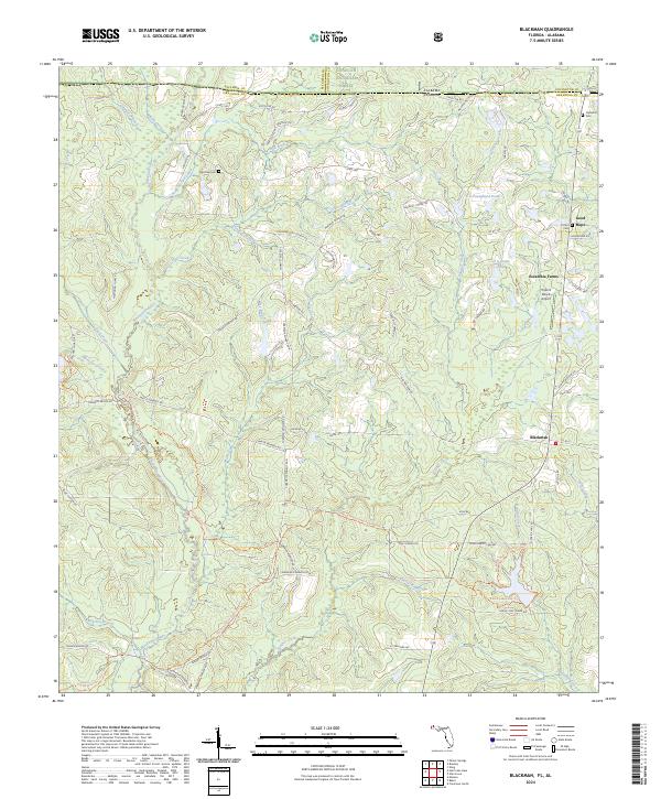
2024 Blackman
Okaloosa County, FL
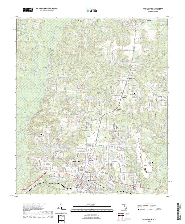
2024 Crestview North
Okaloosa County, FL
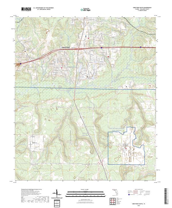
2024 Crestview South
Okaloosa County, FL
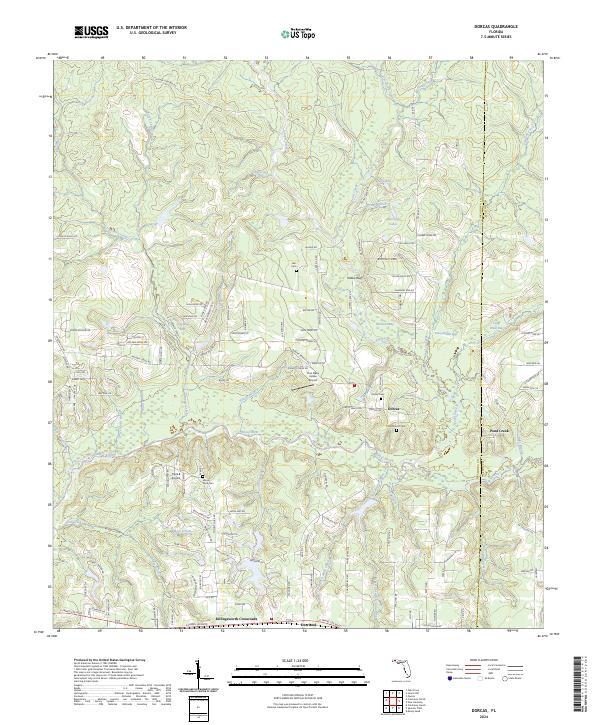
2024 Dorcas
Okaloosa County, FL
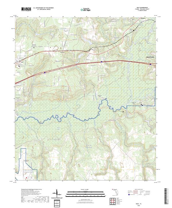
2024 Holt
Okaloosa County, FL
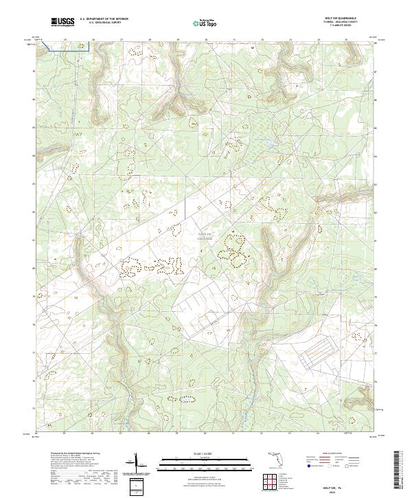
2024 Holt SW
Okaloosa County, FL
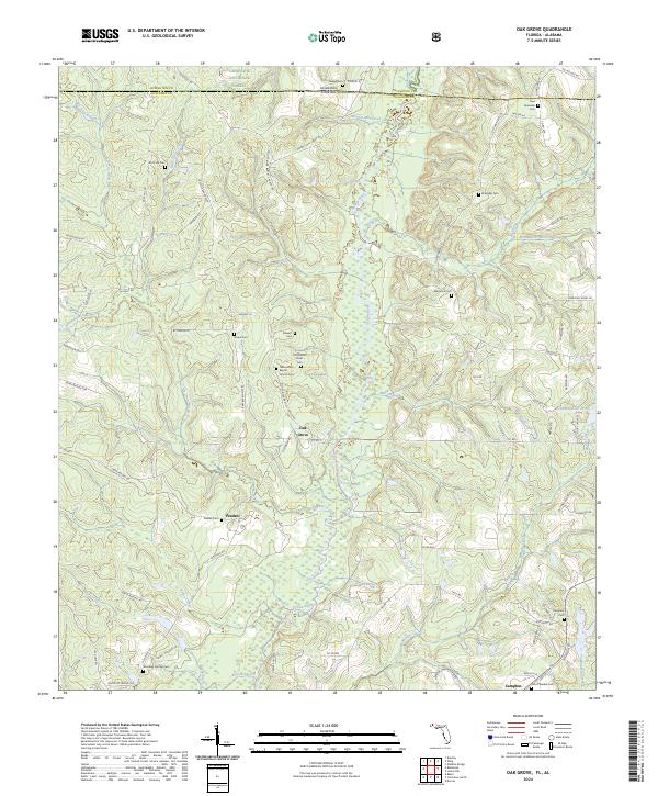
2024 Oak Grove
Okaloosa County, FL
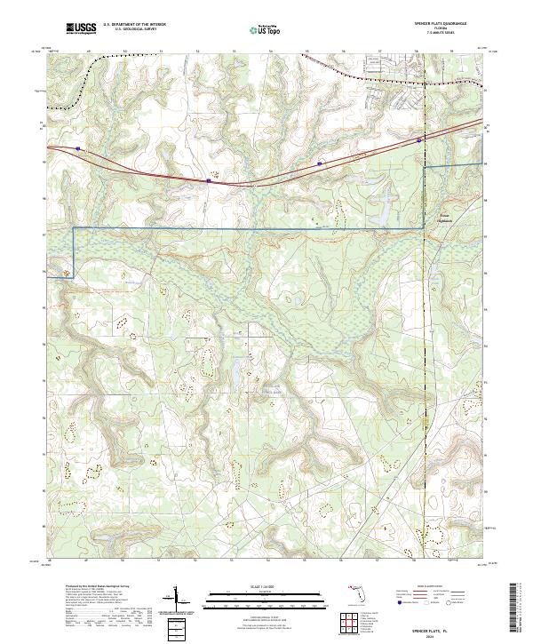
2024 Spencer Flats
Okaloosa County, FL