Old Maps of Bithlo, Florida for Hiking & Exploration
Hike through history with 17 historic maps of Bithlo. Explore old trails, ghost towns, and forgotten backroads — perfect for outdoor adventurers and local explorers.
- Rediscover forgotten places: Map out old mining camps, roads, and footpaths that no longer exist on modern maps.
- Layer with modern tools: Combine with LiDAR or satellite views to plan hikes through historical terrain.
- Made for exploration: Popular among hikers, overlanders, and local history lovers.
Use these maps to find adventure and explore the hidden past of Bithlo.
Bithlo, FL maps
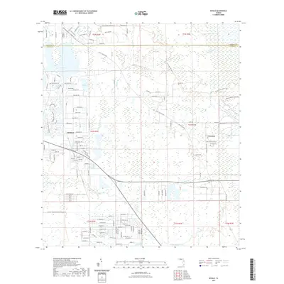
(17)- 1953 Map of Oviedo SW, 1955 Print
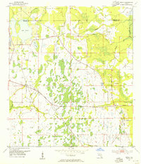
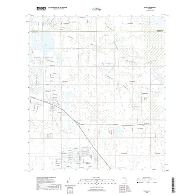
 1953 Oviedo SW1955 Print · USGSEastern Orange County in the early fifties was a landscape of winding rivers and scattered lakefront settlements. Genealogists and local historians can trace family-named sites like Rouse Cem, Lockwood Ch, and the crossroads at Bithlo.4 unique versions available
 - 1953 Map of Bithlo, 1955 Print
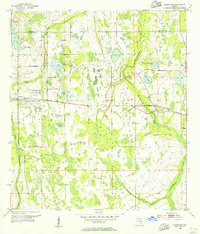
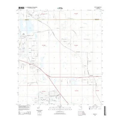
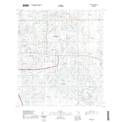
 1953 Bithlo1955 Print · USGSEast of Orlando in the early 1950s, this area remained a landscape of vast wetlands and small rural outposts. Genealogists and local historians can trace the foundations of Christmas and Bithlo, finding the Christmas Cem and an Old Railroad Grade.5 unique versions available
 - 1955 Map of Orlando, 1969 Print
 1955 Orlando1969 Print · USGSCentral Florida was entering the space age in the mid-fifties, balancing its citrus heritage with new military and aerospace frontiers. You can trace early developments at Kennedy Space Center or locate interior settlements like Eatonville and Pine Castle.3 unique versions available
 - 1957 Map of Orlando
 1957 Orlando1957 Print · USGSCovers Bithlo, including Orlando, Palm Bay, and other nearby areas
 - 1958 Map of Orlando
 1958 Orlando1958 Print · USGSCentral Florida was a landscape of citrus, rail, and emerging aerospace technology during the late fifties. Researchers can trace the early footprints of Cape Canaveral and Patrick Air Force Base or locate inland citrus and rail hubs like Sanford and Lakeland.
 - 1962 Map of Orlando
 1962 Orlando1962 Print · USGSCentral Florida was transformed by aerospace and citrus at the start of the sixties. Genealogists and historians can trace old community footprints from Eau Gallie to Leesburg, alongside landmarks like McCoy AFB and the winding Econlockhatchee River.
 - 1979 Map of Orlando, 1980 Print
 1979 Orlando1980 Print · USGSCentral Florida's lake country and growing urban corridors are captured here just before the decade's end. Genealogists and historians can trace the transition from citrus rail towns like Winter Garden to the suburban expansion along I-4 and Florida's Turnpike.3 unique versions available
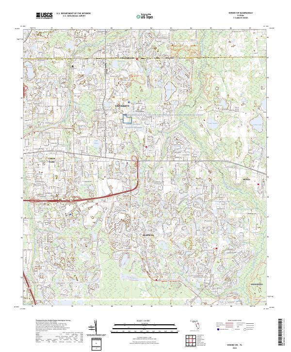
 - 2012 Map of Oviedo SW, 2012 Print
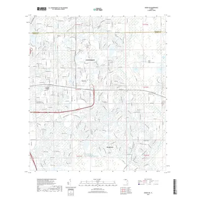
 2012 Oviedo SW2012 Print · USGSCovers Bithlo, including Alafaya, University Park, and other nearby areas
 - 2012 Map of Bithlo, 2012 Print
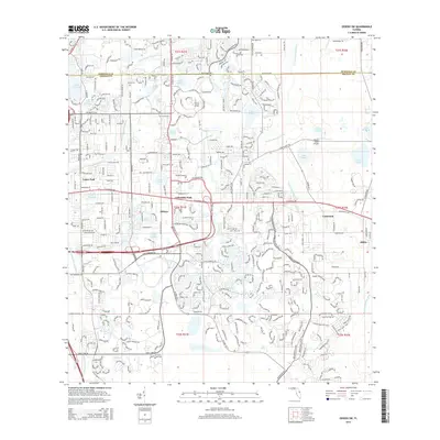
 2012 Bithlo2012 Print · USGSCovers Bithlo, including Christmas, Lake Pickett, and other nearby areas
 - 2015 Map of Bithlo, 2015 Print
 2015 Bithlo2015 Print · USGSCovers Bithlo, including Christmas, Lake Pickett, and other nearby areas
 - 2015 Map of Oviedo SW, 2015 Print
 2015 Oviedo SW2015 Print · USGSCovers Bithlo, including Alafaya, University Park, and other nearby areas
 - 2018 Map of Bithlo, 2018 Print
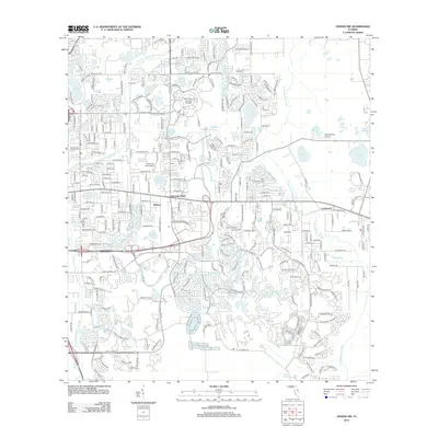
 2018 Bithlo2018 Print · USGSCovers Bithlo, including Christmas, Lake Pickett, and other nearby areas
 - 2018 Map of Oviedo SW, 2018 Print
 2018 Oviedo SW2018 Print · USGSCovers Bithlo, including Alafaya, University Park, and other nearby areas
 - 2021 Map of Bithlo, 2021 Print
 2021 Bithlo2021 Print · USGSCovers Bithlo, including Christmas, Lake Pickett, and other nearby areas
 - 2021 Map of Oviedo SW, 2021 Print
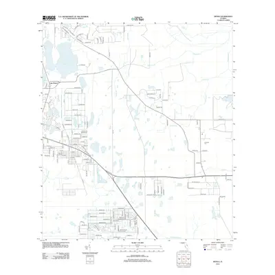
 2021 Oviedo SW2021 Print · USGSCovers Bithlo, including Alafaya, University Park, and other nearby areas
 - 2024 Map of Oviedo SW, 2024 Print
 2024 Oviedo SW2024 Print · USGSEastern Orange County's transition from ranching to a high-tech academic and military corridor is visible in this contemporary survey. Researchers can locate the Drawdy Rouse Cem or trace the early aviation roots of the Rybolt Ranch Airport near Bithlo.
 - 2024 Map of Bithlo, 2024 Print
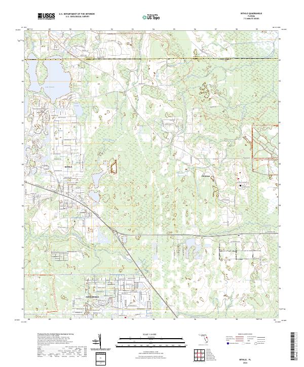 2024 Bithlo2024 Print · USGSEastern Orange County's transition from rural wetlands to residential communities is captured here in the mid-2020s. Researchers can trace local landmarks like Christmas Cem and Lake Pickett or explore the preserve boundaries of Orlando Wetlands Park.
End of results
Showing maps 1-17 of 17
Top cities near Bithlo
- Orlando historical maps
- Alafaya historical maps
- Kissimmee historical maps
- Sanford historical maps
- Meadow Woods historical maps
- Oviedo historical maps
See more
Frequently asked questions
- What are the different types of historical maps available for Bithlo?
- What is the oldest map of Bithlo?
- Where can I purchase historical maps of Bithlo for my home or office?
- Where can I download high-res historical maps of Bithlo?
- Are there historical topographic maps available for Bithlo?
- Is there historical aerial imagery available for Bithlo?
- Where are historical maps of Bithlo sourced from?