Old Maps of Dover Shores, Orlando for Genealogy
Trace your family roots with 13 historic maps of Dover Shores. These high-res maps reveal old neighborhoods, homesites, landmarks, and streets — helping you uncover where your ancestors lived and how the area evolved over time.
- Explore historic neighborhoods: Identify where your relatives may have lived in the 1800s or 1900s.
- Compare maps over time: Trace the changes in streets, buildings, and landmarks for multi-generational research.
- Perfect for genealogy & ancestry research: Used by family historians and researchers to map out lineage and migration.
These maps are an incredible resource for exploring your personal connection to Dover Shores's past.
Dover Shores, Orlando maps
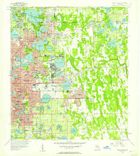
(13)- 1955 Map of Orlando, 1969 Print
 1955 Orlando1969 Print · USGSCentral Florida was entering the space age in the mid-fifties, balancing its citrus heritage with new military and aerospace frontiers. You can trace early developments at Kennedy Space Center or locate interior settlements like Eatonville and Pine Castle.3 unique versions available
 - 1956 Map of Orlando East, 1957 Print
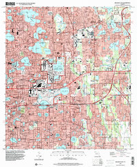
 1956 Orlando East1957 Print · USGSCentral Florida underwent rapid suburbanization in the mid-fifties as military and residential hubs expanded around the lakes. Trace early neighborhoods and schools like Rollins College, Orlando Air Force Base, and Azalea Park.4 unique versions available
 - 1957 Map of Orlando
 1957 Orlando1957 Print · USGSCovers Dover Shores, including Orlando, Palm Bay, and other nearby areas
 - 1958 Map of Orlando
 1958 Orlando1958 Print · USGSCentral Florida was a landscape of citrus, rail, and emerging aerospace technology during the late fifties. Researchers can trace the early footprints of Cape Canaveral and Patrick Air Force Base or locate inland citrus and rail hubs like Sanford and Lakeland.
 - 1962 Map of Orlando
 1962 Orlando1962 Print · USGSCentral Florida was transformed by aerospace and citrus at the start of the sixties. Genealogists and historians can trace old community footprints from Eau Gallie to Leesburg, alongside landmarks like McCoy AFB and the winding Econlockhatchee River.
 - 1979 Map of Orlando, 1980 Print
 1979 Orlando1980 Print · USGSCentral Florida's lake country and growing urban corridors are captured here just before the decade's end. Genealogists and historians can trace the transition from citrus rail towns like Winter Garden to the suburban expansion along I-4 and Florida's Turnpike.3 unique versions available
 - 1994 Map of Orlando East, 2000 Print
 1994 Orlando East2000 Print · USGSOrlando and Winter Park at the end of the century are depicted here as a thriving network of lakefront neighborhoods and major institutional campuses. Researchers can trace the layout of the Orlando Naval Training Center, find local schools like Lakemont Sch, or locate the historic Greenwood Cemetery.
 - 2012 Map of Orlando East, 2012 Print
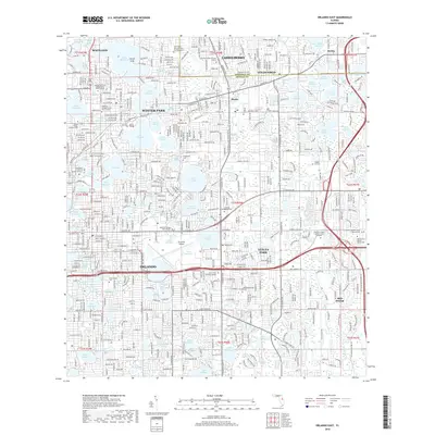
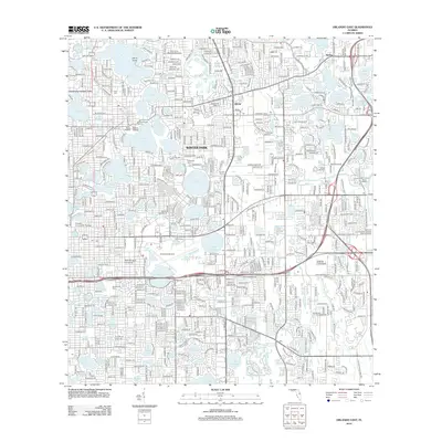 2012 Orlando East2012 Print · USGSCovers Dover Shores, including Orlando, Winter Park, and other nearby areas
 - 2015 Map of Orlando East, 2015 Print
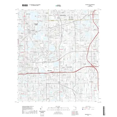
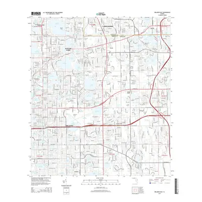 2015 Orlando East2015 Print · USGSCovers Dover Shores, including Orlando, Winter Park, and other nearby areas
 - 2018 Map of Orlando East, 2018 Print
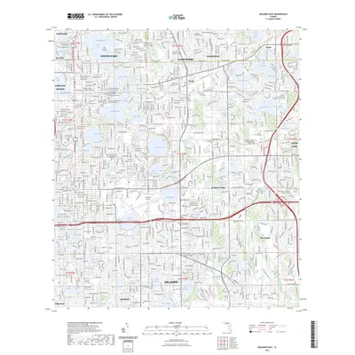
 2018 Orlando East2018 Print · USGSCovers Dover Shores, including Orlando, Winter Park, and other nearby areas
 - 2021 Map of Orlando East, 2021 Print
 2021 Orlando East2021 Print · USGSCovers Dover Shores, including Orlando, Winter Park, and other nearby areas
 - 2023 Map of Orlando East, 2023 Print
 2023 Orlando East2023 Print · USGSCovers Dover Shores, including Orlando, Winter Park, and other nearby areas
 - 2024 Map of Orlando East, 2024 Print
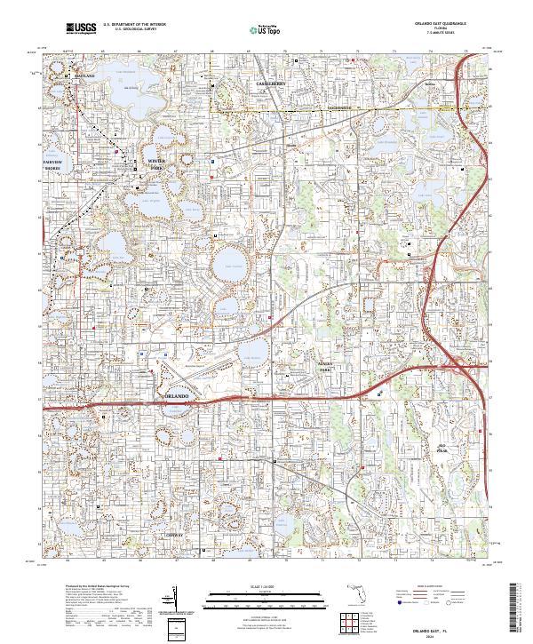 2024 Orlando East2024 Print · USGSModern Orange County is depicted here as a dense network of lakeside communities and academic campuses. Genealogists and historians can locate several burial sites, including Greenwood Cem, Palm Cem, and the Shalom Garden of Peace Islamic Cem.
End of results
Showing maps 1-13 of 13
Frequently asked questions
- What are the different types of historical maps available for Dover Shores?
- What is the oldest map of Dover Shores?
- Where can I purchase historical maps of Dover Shores for my home or office?
- Where can I download high-res historical maps of Dover Shores?
- Are there historical topographic maps available for Dover Shores?
- Is there historical aerial imagery available for Dover Shores?
- Where are historical maps of Dover Shores sourced from?