2000s (21st Century) Maps of Lake Nona, Orlando
Explore 20 historic maps of Lake Nona from the 2000s (21st Century). These maps offer a rare glimpse into what life looked like during the 2000s — showing old roads, neighborhoods, homes, and landmarks that have changed or disappeared over time.
Whether you're researching your family's past, planning a metal detecting trip, or studying how Lake Nona's landscape evolved across the 2000s, these high-resolution maps are a powerful tool for exploring the history of this region.
- Focus on a specific era: All maps on this page are from the 2000s, giving you a focused view of this time period.
- See what’s changed: Compare century-old streets, trails, and buildings to today's modern landscape using overlays and satellite layers.
- Research with precision: Use these maps for genealogy, historical research, land use analysis, or educational projects.
- View, download, or print: Maps are fully viewable online in high resolution, and can be downloaded or printed for your own records.
Start exploring Lake Nona's history through authentic maps from the 2000s. This is your window into the past.
Lake Nona, Orlando maps
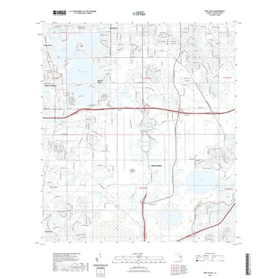
(20)- 2012 Map of Pine Castle, 2012 Print
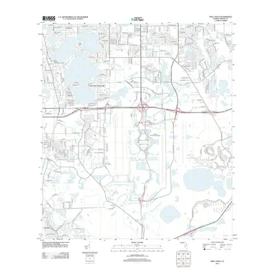 2012 Pine Castle2012 Print · USGSCovers Lake Nona, including Orlando, Meadow Woods, and other nearby areas
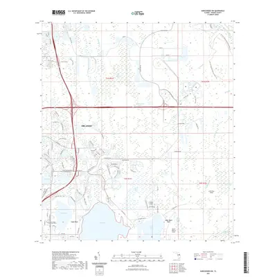
 - 2012 Map of Narcoossee NW, 2012 Print
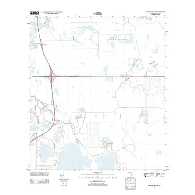 2012 Narcoossee NW2012 Print · USGSCovers Lake Nona, including Orlando, Orange County, and other nearby areas
 - 2012 Map of Narcoossee, 2012 Print
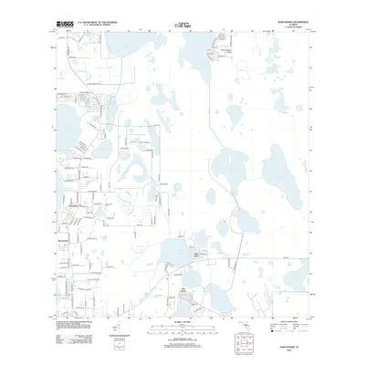 2012 Narcoossee2012 Print · USGSCovers Lake Nona, including Orlando, Pine Grove, and other nearby areas
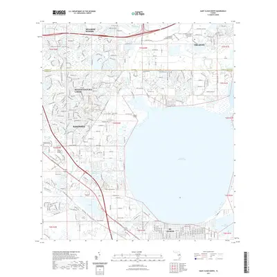
 - 2012 Map of Saint Cloud North, 2012 Print
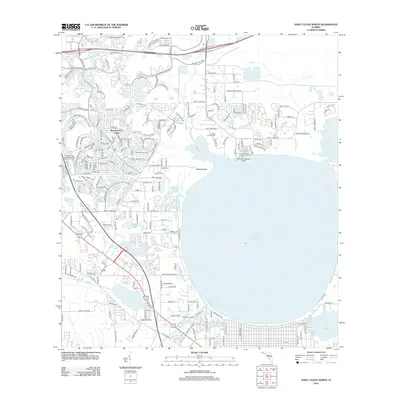 2012 Saint Cloud North2012 Print · USGSCovers Lake Nona, including Orlando, Kissimmee, and other nearby areas
 - 2015 Map of Saint Cloud North, 2015 Print
 2015 Saint Cloud North2015 Print · USGSCovers Lake Nona, including Orlando, Kissimmee, and other nearby areas
 - 2015 Map of Pine Castle, 2015 Print
 2015 Pine Castle2015 Print · USGSCovers Lake Nona, including Orlando, Meadow Woods, and other nearby areas
 - 2015 Map of Narcoossee NW, 2015 Print
 2015 Narcoossee NW2015 Print · USGSCovers Lake Nona, including Orlando, Orange County, and other nearby areas
 - 2015 Map of Narcoossee, 2015 Print
 2015 Narcoossee2015 Print · USGSCovers Lake Nona, including Orlando, Pine Grove, and other nearby areas
 - 2018 Map of Narcoossee NW, 2018 Print
 2018 Narcoossee NW2018 Print · USGSCovers Lake Nona, including Orlando, Orange County, and other nearby areas
 - 2018 Map of Narcoossee, 2018 Print
 2018 Narcoossee2018 Print · USGSCovers Lake Nona, including Orlando, Pine Grove, and other nearby areas
 - 2018 Map of Saint Cloud North, 2018 Print
 2018 Saint Cloud North2018 Print · USGSCovers Lake Nona, including Orlando, Kissimmee, and other nearby areas
 - 2018 Map of Pine Castle, 2018 Print
 2018 Pine Castle2018 Print · USGSCovers Lake Nona, including Orlando, Meadow Woods, and other nearby areas
 - 2021 Map of Narcoossee, 2021 Print
 2021 Narcoossee2021 Print · USGSCovers Lake Nona, including Orlando, Pine Grove, and other nearby areas
 - 2021 Map of Pine Castle, 2021 Print
 2021 Pine Castle2021 Print · USGSCovers Lake Nona, including Orlando, Meadow Woods, and other nearby areas
 - 2021 Map of Narcoossee NW, 2021 Print
 2021 Narcoossee NW2021 Print · USGSCovers Lake Nona, including Orlando, Orange County, and other nearby areas
 - 2021 Map of Saint Cloud North, 2021 Print
 2021 Saint Cloud North2021 Print · USGSCovers Lake Nona, including Orlando, Kissimmee, and other nearby areas
 - 2024 Map of Narcoossee, 2024 Print
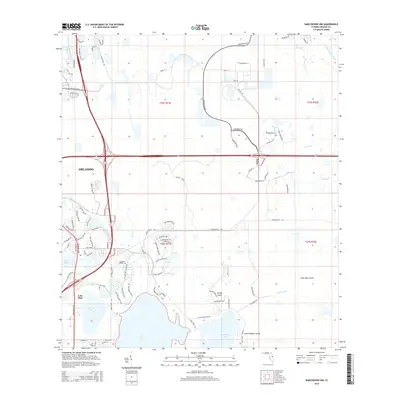
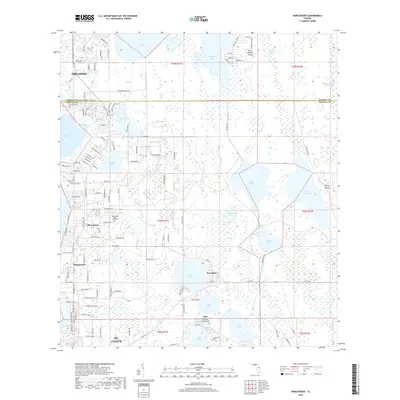
 2024 Narcoossee2024 Print · USGSOsceola and Orange counties come together in this contemporary view of the Florida lakes region, where the town of St. Cloud meets the surrounding wetlands. Researchers can locate the Narcoossee Arthur Fell Cem and trace the shores of Lake Lizzie and Runnymede.
 - 2024 Map of Saint Cloud North, 2024 Print
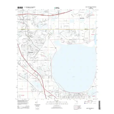
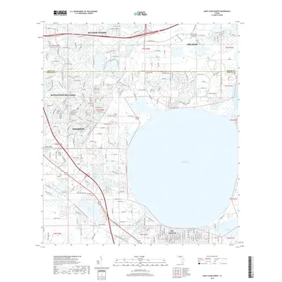
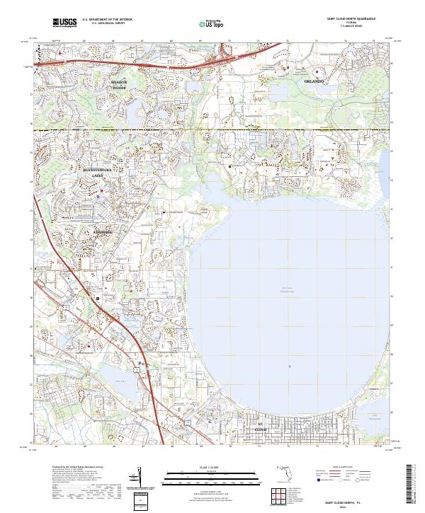 2024 Saint Cloud North2024 Print · USGSNorthern Osceola County is shown here in the 2020s, as urban growth transforms the lands around East Lake Tohopekaliga. Researchers can trace new residential grids alongside landmarks like Barber Cem and Johnson University Florida.
 - 2024 Map of Pine Castle, 2024 Print
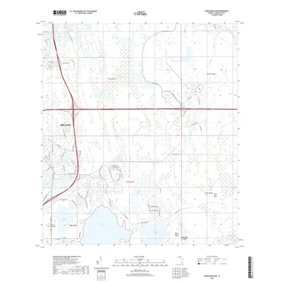
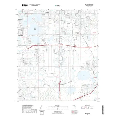
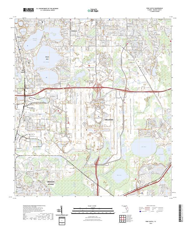 2024 Pine Castle2024 Print · USGSOrange County's lake-strewn landscape is captured here in the mid-2020s, showing the dense suburban development surrounding the massive Orlando International Airport. Genealogists and local historians can trace established neighborhoods from Pine Castle to Edgewood and locate local landmarks like the Saint Mary of the Angels Cem.
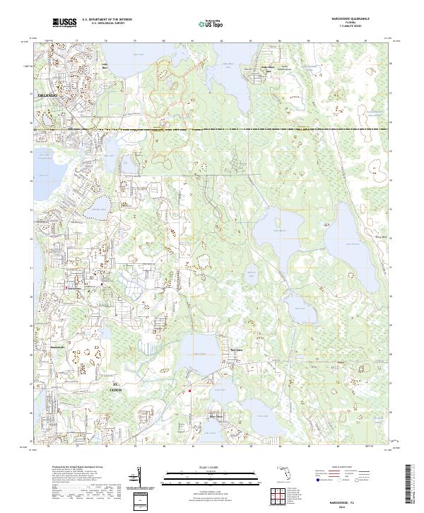
 - 2024 Map of Narcoossee NW, 2024 Print
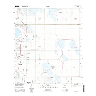
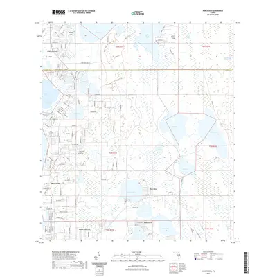
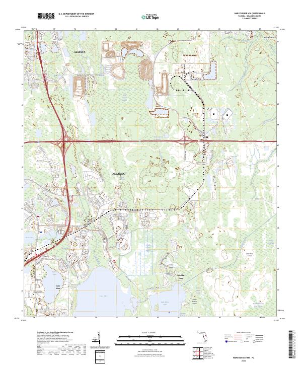 2024 Narcoossee NW2024 Print · USGSOrange County's eastern wetlands and evolving suburbs are shown here in the 2020s, where traditional swamps meet modern conservation. Researchers can trace the Disston Canal, locate the Valencia College - Lake Nona Campus, or explore the trails of Crosby Island.
End of results
Showing maps 1-20 of 20
Frequently asked questions
- What are the different types of historical maps available for Lake Nona?
- What is the oldest map of Lake Nona?
- Where can I purchase historical maps of Lake Nona for my home or office?
- Where can I download high-res historical maps of Lake Nona?
- Are there historical topographic maps available for Lake Nona?
- Is there historical aerial imagery available for Lake Nona?
- Where are historical maps of Lake Nona sourced from?