2000s (21st Century) Maps of MetroWest, Orlando
Explore 15 historic maps of MetroWest from the 2000s (21st Century). These maps offer a rare glimpse into what life looked like during the 2000s — showing old roads, neighborhoods, homes, and landmarks that have changed or disappeared over time.
Whether you're researching your family's past, planning a metal detecting trip, or studying how MetroWest's landscape evolved across the 2000s, these high-resolution maps are a powerful tool for exploring the history of this region.
- Focus on a specific era: All maps on this page are from the 2000s, giving you a focused view of this time period.
- See what’s changed: Compare century-old streets, trails, and buildings to today's modern landscape using overlays and satellite layers.
- Research with precision: Use these maps for genealogy, historical research, land use analysis, or educational projects.
- View, download, or print: Maps are fully viewable online in high resolution, and can be downloaded or printed for your own records.
Start exploring MetroWest's history through authentic maps from the 2000s. This is your window into the past.
MetroWest, Orlando maps
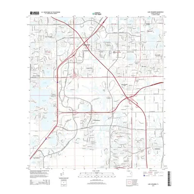
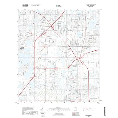
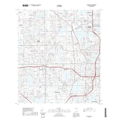
(15)- 2012 Map of Orlando West, 2012 Print
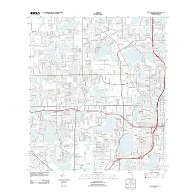 2012 Orlando West2012 Print · USGSCovers MetroWest, including Orlando, Orlo Vista, and other nearby areas
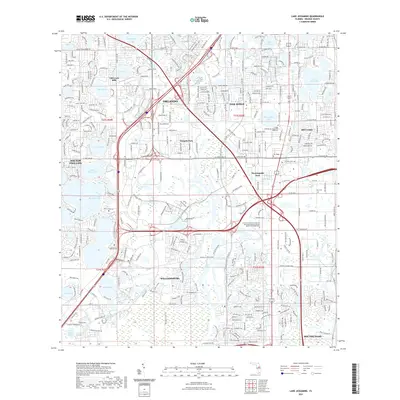
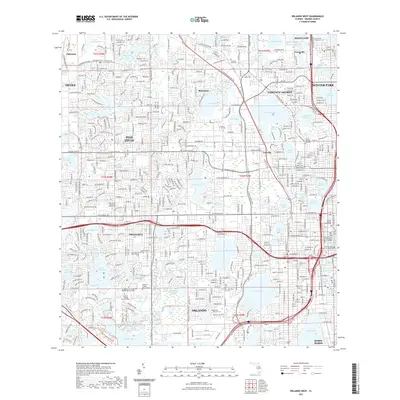
 - 2012 Map of Lake Jessamine, 2012 Print
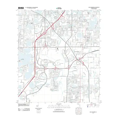 2012 Lake Jessamine2012 Print · USGSCovers MetroWest, including Orlando, Oak Ridge, and other nearby areas
 - 2012 Map of Winter Garden, 2012 Print
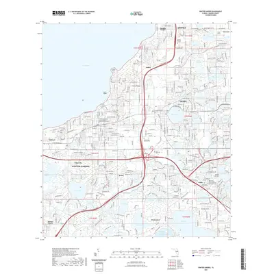
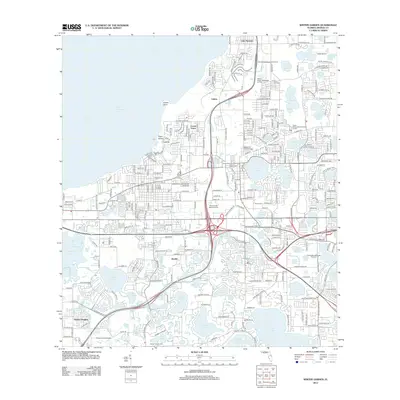 2012 Winter Garden2012 Print · USGSCovers MetroWest, including Orlando, Ocoee, and other nearby areas
 - 2015 Map of Orlando West, 2015 Print
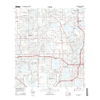 2015 Orlando West2015 Print · USGSCovers MetroWest, including Orlando, Orlo Vista, and other nearby areas
 - 2015 Map of Lake Jessamine, 2015 Print
 2015 Lake Jessamine2015 Print · USGSCovers MetroWest, including Orlando, Oak Ridge, and other nearby areas
 - 2015 Map of Winter Garden, 2015 Print
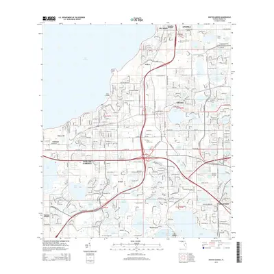 2015 Winter Garden2015 Print · USGSCovers MetroWest, including Orlando, Ocoee, and other nearby areas
 - 2018 Map of Winter Garden, 2018 Print
 2018 Winter Garden2018 Print · USGSCovers MetroWest, including Orlando, Ocoee, and other nearby areas
 - 2018 Map of Lake Jessamine, 2018 Print
 2018 Lake Jessamine2018 Print · USGSCovers MetroWest, including Orlando, Oak Ridge, and other nearby areas
 - 2018 Map of Orlando West, 2018 Print
 2018 Orlando West2018 Print · USGSCovers MetroWest, including Orlando, Orlo Vista, and other nearby areas
 - 2021 Map of Lake Jessamine, 2021 Print
 2021 Lake Jessamine2021 Print · USGSCovers MetroWest, including Orlando, Oak Ridge, and other nearby areas
 - 2021 Map of Winter Garden, 2021 Print
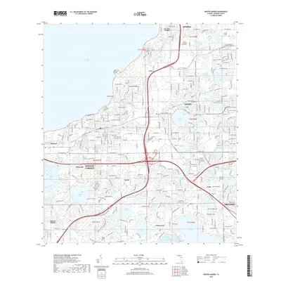
 2021 Winter Garden2021 Print · USGSCovers MetroWest, including Orlando, Ocoee, and other nearby areas
 - 2021 Map of Orlando West, 2021 Print
 2021 Orlando West2021 Print · USGSCovers MetroWest, including Orlando, Orlo Vista, and other nearby areas
 - 2024 Map of Winter Garden, 2024 Print
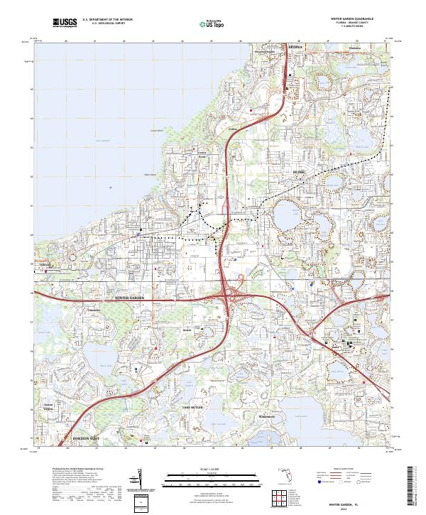 2024 Winter Garden2024 Print · USGSWestern Orange County is captured in a moment of significant growth where the waters of Lake Apopka meet expanding suburbs. Local historians can trace established neighborhoods and numerous memorial sites, from the Ocoee Cem to the Beth Israel Memorial Park.
 - 2024 Map of Lake Jessamine, 2024 Print
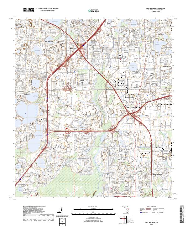 2024 Lake Jessamine2024 Print · USGSThe suburbs south of Orlando are captured in this 2024 survey, showing a landscape defined by water and rapid development. Researchers can trace the layout of Williamsburg, find local burial sites at Oak Ridge Cem, and see the many lakes like Lake Jessamine.
 - 2024 Map of Orlando West, 2024 Print
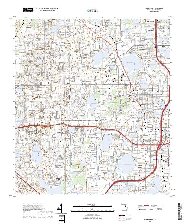 2024 Orlando West2024 Print · USGSThe suburbs and historic districts west of Orlando are shown in great detail during this recent era of urban growth. Researchers can locate community foundations like the Florida Central RR, the historic town of Eatonville, and Washington Park Cem.
End of results
Showing maps 1-15 of 15
Top cities near MetroWest
- Orlando historical maps
- Kissimmee historical maps
- Horizon West historical maps
- Four Corners historical maps
- Sanford historical maps
- Ocoee historical maps
See more
Top neighborhoods of MetroWest
Frequently asked questions
- What are the different types of historical maps available for MetroWest?
- What is the oldest map of MetroWest?
- Where can I purchase historical maps of MetroWest for my home or office?
- Where can I download high-res historical maps of MetroWest?
- Are there historical topographic maps available for MetroWest?
- Is there historical aerial imagery available for MetroWest?
- Where are historical maps of MetroWest sourced from?