2020s Maps of Pasco County, Florida
Explore 44 historic maps of Pasco County from the 2020s. These maps offer a rare glimpse into what life looked like during the 2020s — showing old roads, neighborhoods, homes, and landmarks that have changed or disappeared over time.
Whether you're researching your family's past, planning a metal detecting trip, or studying how Pasco County's landscape evolved across the 2020s, these high-resolution maps are a powerful tool for exploring the history of this region.
- Focus on a specific era: All maps on this page are from the 2020s, giving you a focused view of this time period.
- See what’s changed: Compare century-old streets, trails, and buildings to today's modern landscape using overlays and satellite layers.
- Research with precision: Use these maps for genealogy, historical research, land use analysis, or educational projects.
- View, download, or print: Maps are fully viewable online in high resolution, and can be downloaded or printed for your own records.
Start exploring Pasco County's history through authentic maps from the 2020s. This is your window into the past.
Pasco County, FL maps
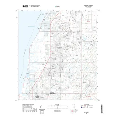
(44)- 2021 Map of Port Richey OE W, 2021 Print
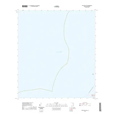 2021 Port Richey OE W2021 Print · USGSCovers Pasco County, including Port Richey, United States, and other nearby areas
 - 2021 Map of Clay Sink, 2021 Print
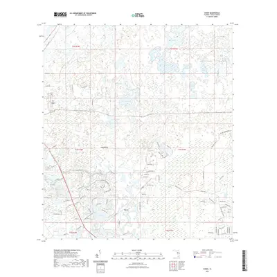
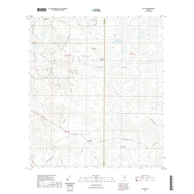 2021 Clay Sink2021 Print · USGSCovers Pasco County, including Sturkey, Clay Sink, and other nearby areas
 - 2021 Map of Masaryktown, 2021 Print
 2021 Masaryktown2021 Print · USGSCovers Pasco County, including Brooksville, Ayers, and other nearby areas
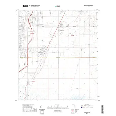
 - 2021 Map of Zephyrhills, 2021 Print
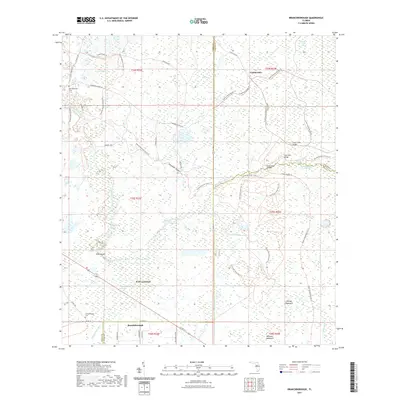
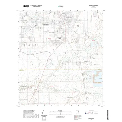 2021 Zephyrhills2021 Print · USGSCovers Pasco County, including Zephyrhills, Crystal Springs Colony Farms, and other nearby areas
 - 2021 Map of San Antonio, 2021 Print
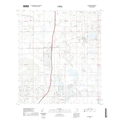 2021 San Antonio2021 Print · USGSCovers Pasco County, including Saint Leo, San Antonio, and other nearby areas
 - 2021 Map of Spring Lake, 2021 Print
 2021 Spring Lake2021 Print · USGSCovers Pasco County, including Spring Lake, Saint Joseph, and other nearby areas
 - 2021 Map of Dade City, 2021 Print
 2021 Dade City2021 Print · USGSCovers Pasco County, including Dade City, Saint Leo, and other nearby areas
 - 2021 Map of Socrum, 2021 Print
 2021 Socrum2021 Print · USGSCovers Pasco County, including Socrum, Hillsborough County, and other nearby areas
 - 2021 Map of Lutz, 2021 Print
 2021 Lutz2021 Print · USGSCovers Pasco County, including Tampa, Lutz, and other nearby areas
 - 2021 Map of Fivay Junction, 2021 Print
 2021 Fivay Junction2021 Print · USGSCovers Pasco County, including Fivay Junction, Greenfield, and other nearby areas
 - 2021 Map of Tarpon Springs, 2021 Print
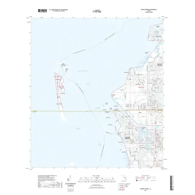 2021 Tarpon Springs2021 Print · USGSCovers Pasco County, including Tarpon Springs, Anclote, and other nearby areas
 - 2021 Map of Ehren, 2021 Print
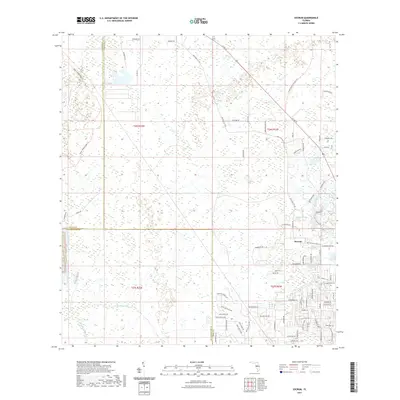
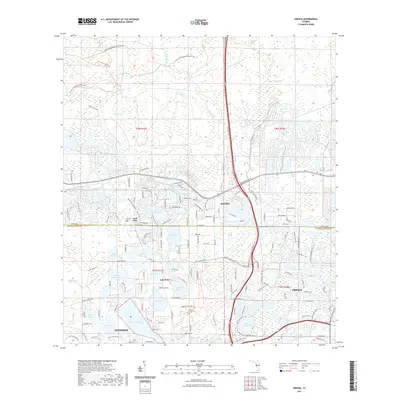
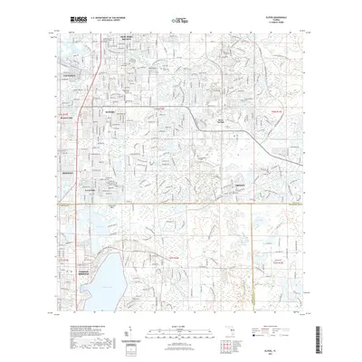
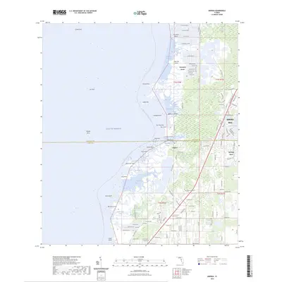
 2021 Ehren2021 Print · USGSCovers Pasco County, including Ehren, United States, and other nearby areas
 - 2021 Map of Branchborough, 2021 Print
 2021 Branchborough2021 Print · USGSCovers Pasco County, including Cumpressco, Port Lonesome, and other nearby areas
 - 2021 Map of Aripeka, 2021 Print
 2021 Aripeka2021 Print · USGSCovers Pasco County, including Aripeka, Weekiwachee Gardens, and other nearby areas
 - 2021 Map of Odessa, 2021 Print
 2021 Odessa2021 Print · USGSCovers Pasco County, including Lutz, Keystone Reserve, and other nearby areas
 - 2021 Map of Wesley Chapel, 2021 Print
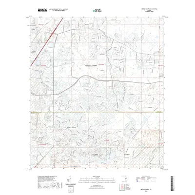 2021 Wesley Chapel2021 Print · USGSCovers Pasco County, including Tampa, Pebble Creek, and other nearby areas
 - 2021 Map of Lacoochee, 2021 Print
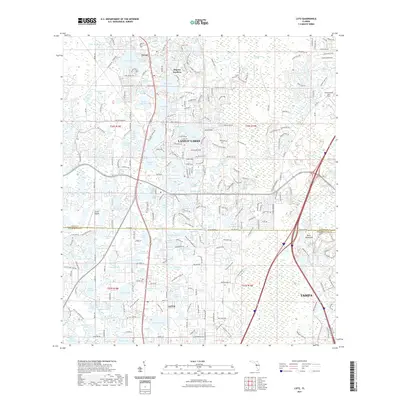
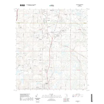 2021 Lacoochee2021 Print · USGSCovers Pasco County, including Dade City, Lacoochee, and other nearby areas
 - 2021 Map of Port Richey, 2021 Print
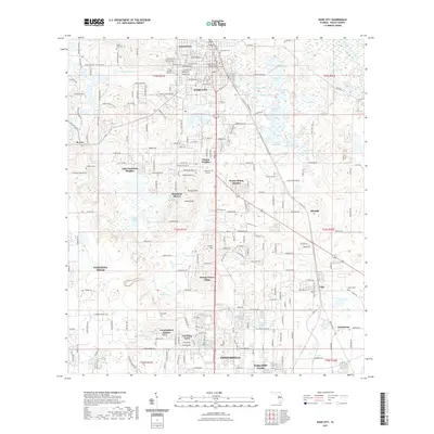
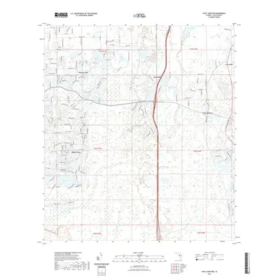
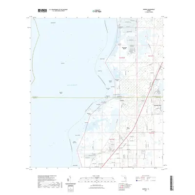
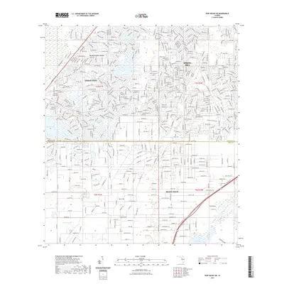
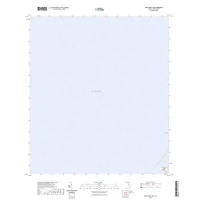
 2021 Port Richey2021 Print · USGSCovers Pasco County, including Bayonet Point, Hudson, and other nearby areas
 - 2021 Map of Port Richey NE, 2021 Print
 2021 Port Richey NE2021 Print · USGSCovers Pasco County, including Spring Hill, Weekiwachee Woodlands, and other nearby areas
 - 2021 Map of Elfers, 2021 Print
 2021 Elfers2021 Print · USGSCovers Pasco County, including Tarpon Springs, Holiday, and other nearby areas
 - 2024 Map of Clay Sink, 2024 Print
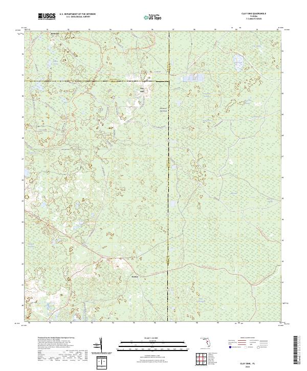 2024 Clay Sink2024 Print · USGSThe Florida interior near the tri-county junction of Pasco, Hernando, and Sumter appears here as a land of extensive wetlands. Genealogists and historians can trace the rural communities of Richloam and Clay Sink alongside landmarks like Raulerson Hammock and Yankee Swamp.
 - 2024 Map of Port Richey OE W, 2024 Print
 2024 Port Richey OE W2024 Print · USGSCovers Pasco County, including Port Richey, United States, and other nearby areas
 - 2024 Map of Aripeka, 2024 Print
 2024 Aripeka2024 Print · USGSCovers Pasco County, including Aripeka, Weekiwachee Gardens, and other nearby areas
 - 2024 Map of Lacoochee, 2024 Print
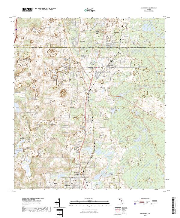 2024 Lacoochee2024 Print · USGSPasco and Hernando counties are shown in detail as they appeared in 2024, highlighting the rail-influenced settlements along the Withlacoochee River. Genealogists and historians can locate Trilby Cem, explore the layout of Moss Town, and trace the path of the Florida National Scenic Trail.
 - 2024 Map of San Antonio, 2024 Print
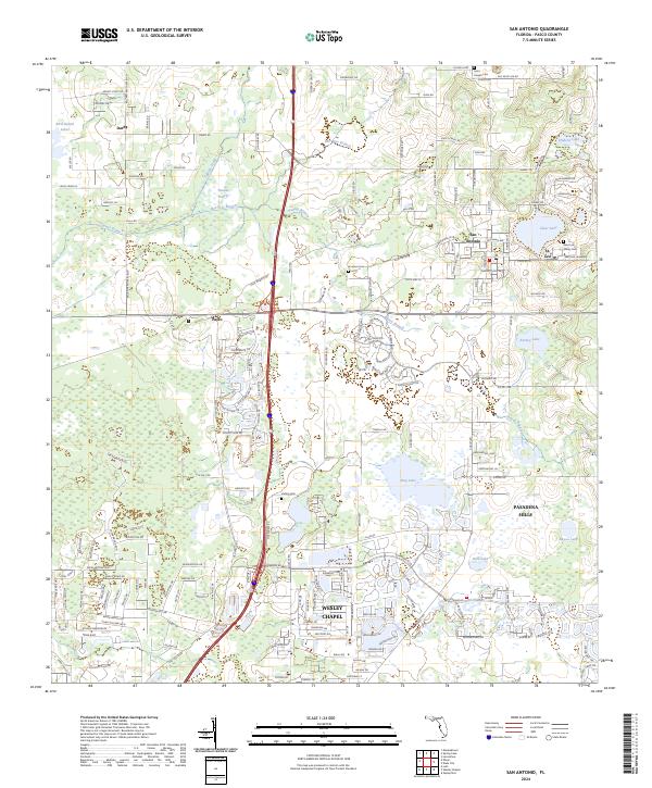 2024 San Antonio2024 Print · USGSPasco County's eastern ridges and lakes are captured here in the mid-2020s, showcasing the traditional centers of San Antonio and St. Leo. Family historians can trace local roots through the Saint Leo Abbey Cem or locate the sprawling grounds of Saint Leo University.
Showing maps 1-25 of 44
Top cities of Pasco County
- Bayonet Point historical maps
- Holiday historical maps
- Hudson historical maps
- Zephyrhills historical maps
- New Port Richey historical maps
- Elfers historical maps
See more
Frequently asked questions
- What are the different types of historical maps available for Pasco County?
- What is the oldest map of Pasco County?
- Where can I purchase historical maps of Pasco County for my home or office?
- Where can I download high-res historical maps of Pasco County?
- Are there historical topographic maps available for Pasco County?
- Is there historical aerial imagery available for Pasco County?
- Where are historical maps of Pasco County sourced from?