Old Maps of Baird, Florida for Genealogy
Trace your family roots with 11 historic maps of Baird. These high-res maps reveal old neighborhoods, homesites, landmarks, and streets — helping you uncover where your ancestors lived and how the area evolved over time.
- Explore historic neighborhoods: Identify where your relatives may have lived in the 1800s or 1900s.
- Compare maps over time: Trace the changes in streets, buildings, and landmarks for multi-generational research.
- Perfect for genealogy & ancestry research: Used by family historians and researchers to map out lineage and migration.
These maps are an incredible resource for exploring your personal connection to Baird's past.
Baird, FL maps
(11)- 1955 Map of Baird, 1956 Print
 1955 Baird1956 Print · USGSPhosphate mining and rural prairie life intersect in this mid-century Florida interior. Genealogists and historians can locate the community at Brewster, trace the Seaboard Air Line, and find local landmarks like Welcome Ch and Pierce Lookout Tower.4 unique versions available
 - 1956 Map of Fort Pierce, 1965 Print
 1956 Fort Pierce1965 Print · USGSCentral and coastal Florida appear here during a period of rapid post-war growth and industrial expansion. Researchers can trace the mid-century rail-to-highway transition along the Sunshine State Parkway or locate old settlements like Ankona, Walton, and Indrio.4 unique versions available
 - 1958 Map of Fort Pierce
 1958 Fort Pierce1958 Print · USGSCentral and South Florida are captured here in the late fifties as the citrus and ranching interior met the modern highway era. Researchers can trace the early path of the Sunshine State Parkway and locate established rail depots in Sebring, Okeechobee, and Arcadia.
 - 1959 Map of Fort Pierce
 1959 Fort Pierce1959 Print · USGSCentral Florida and the Treasure Coast are shown here in the late fifties, during a period of steady citrus and coastal growth. Trace the historic routes of the Florida East Coast Ry or locate the boundaries of the Seminole Indian Reservation and Highlands Hammock State Park.3 unique versions available
 - 1978 Map of Bartow, 1980 Print
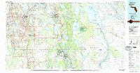 1978 Bartow1980 Print · USGSCentral Florida during the late seventies was a landscape of industrial phosphate mines and expansive lake systems. Trace the legacy of the Seaboard Coast Line as it connects Fort Meade, Wauchula, and the massive Avon Park Bombing Range.2 unique versions available
 - 1988 Map of Fort Pierce
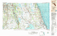 1988 Fort Pierce1988 Print · USGSThe Atlantic coast and Florida’s interior lakelands are captured in the late eighties, just as the Treasure Coast was experiencing rapid development. Genealogists and historians can trace the rail lines of the Florida East Coast and explore the bounds of the Brighton Indian Reservation.
 - 2012 Map of Baird, 2012 Print
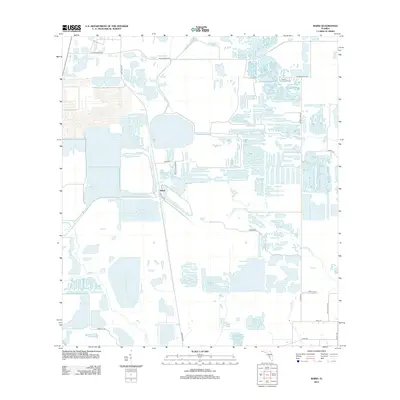 2012 Baird2012 Print · USGSThe industrial heart of Polk County is revealed here during the early twenty-first century, showing a landscape defined by water management and mineral extraction. Researchers can locate the settlement of Baird and trace the drainage patterns of Payne Cr and Little Payne Cr.
 - 2015 Map of Baird, 2015 Print
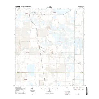 2015 Baird2015 Print · USGSThe Bone Valley region of Central Florida comes into focus in the mid-2010s, showing the intersection of industry and water. Genealogists and local historians can trace the paths of Bone Valley Rd near the settlement of Baird or follow Payne Cr.
 - 2018 Map of Baird, 2018 Print
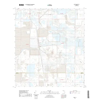 2018 Baird2018 Print · USGSBaird and Fort Green are situated in a landscape defined by phosphate mining and marshy wetlands in the late 2010s. Researchers can trace rural property lines and water features like Hookers Prairie, Little Payne Creek, and Old Hwy 37.
 - 2021 Map of Baird, 2021 Print
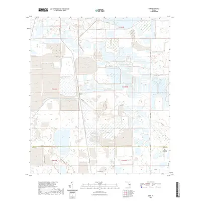 2021 Baird2021 Print · USGSThe Polk and Hardee County line comes into focus in this contemporary study of central Florida's mining and wetland regions. Genealogists and local historians can trace the Paynes Creek Primitive Cem and old transport routes like Old Hwy 37 and Old Brewster Rd.
 - 2024 Map of Baird, 2024 Print
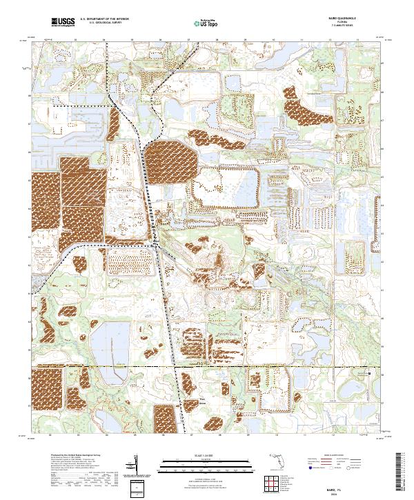 2024 Baird2024 Print · USGSThe Polk and Hardee county line comes alive in the early twenty-first century, showcasing a landscape of wetlands and rural settlements. Genealogists and local historians can trace family ties at the Paynes Creek Primitive Cem or explore the area around Baird and Fort Green.
End of results
Showing maps 1-11 of 11
Top cities near Baird
- Winter Haven historical maps
- Bartow historical maps
- Fort Meade historical maps
- Wauchula historical maps
- Mulberry historical maps
- Bowling Green historical maps
See more
Frequently asked questions
- What are the different types of historical maps available for Baird?
- What is the oldest map of Baird?
- Where can I purchase historical maps of Baird for my home or office?
- Where can I download high-res historical maps of Baird?
- Are there historical topographic maps available for Baird?
- Is there historical aerial imagery available for Baird?
- Where are historical maps of Baird sourced from?