Old Maps of Goat Corners, Polk County for Academic Research
Study the evolution of Goat Corners with 24 high-resolution historic maps. Whether you're teaching, researching, or modeling changes in land use, these maps provide essential visual documentation of urban, environmental, and geographic change.
- Analyze long-term change: Track patterns in development, transportation, and natural features.
- Ideal for environmental or urban studies: Support academic projects with primary historical map data.
- Use in the classroom or lab: Educators and researchers rely on these maps to bring historical context to life.
These maps are a powerful tool for teaching, research, and visualizing how Goat Corners has changed over the decades.
Goat Corners, Polk County maps
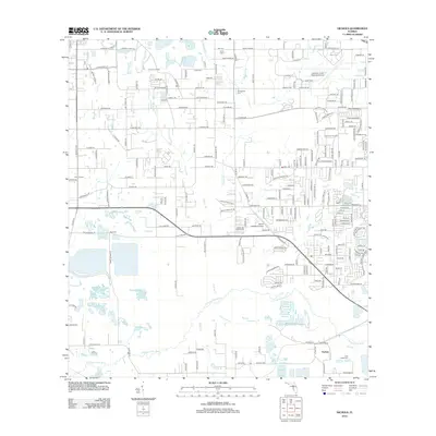
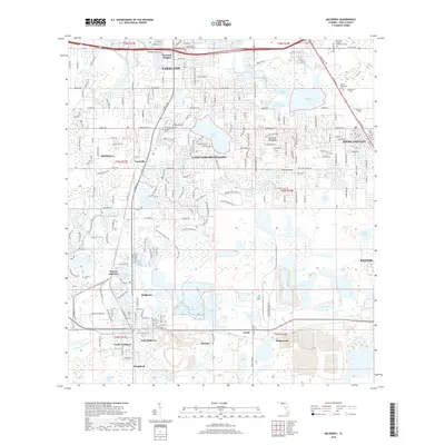
(24)- 1949 Map of Mulberry, 1964 Print
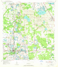 1949 Mulberry1964 Print · USGSMid-century Polk County emerges as a hub of industry and settlement just after the war years. Genealogists and historians can trace the development of Mulberry and Highland City while locating family landmarks like Fitzgerald Cem or Medulla Ch.5 unique versions available
 - 1950 Map of Mulberry
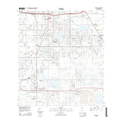
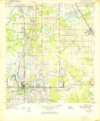 1950 Mulberry1950 Print · USGSThe phosphate mining district around Mulberry is captured here at mid-century, showing a landscape defined by industry and rail. Genealogists and historians can trace old settlements like Tancrede and locate rural landmarks such as Medulla Ch and Prairie Cem.
 - 1955 Map of Nichols, 1956 Print
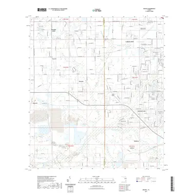
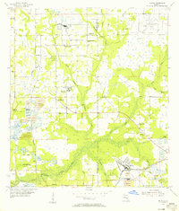 1955 Nichols1956 Print · USGSThe industrial and agricultural heart of the Hillsborough-Polk border comes alive in the mid-fifties, dominated by phosphate mining and rail transport. Researchers can trace the heritage of rural communities through Coronet, the Glover Sch, and Springhead Cem.4 unique versions available
 - 1956 Map of Tampa, 1964 Print
 1956 Tampa1964 Print · USGSThe Florida Gulf Coast thrived in the mid-fifties, from the bustling docks of Tampa to the quiet shores of Sanibel. Genealogists and historians can trace old rail lines like the Atlantic Coast Line or find early layouts of Port Charlotte and Bokeelia.2 unique versions available
 - 1956 Map of Fort Pierce, 1965 Print
 1956 Fort Pierce1965 Print · USGSCentral and coastal Florida appear here during a period of rapid post-war growth and industrial expansion. Researchers can trace the mid-century rail-to-highway transition along the Sunshine State Parkway or locate old settlements like Ankona, Walton, and Indrio.4 unique versions available
 - 1958 Map of Fort Pierce
 1958 Fort Pierce1958 Print · USGSCentral and South Florida are captured here in the late fifties as the citrus and ranching interior met the modern highway era. Researchers can trace the early path of the Sunshine State Parkway and locate established rail depots in Sebring, Okeechobee, and Arcadia.
 - 1959 Map of Fort Pierce
 1959 Fort Pierce1959 Print · USGSCentral Florida and the Treasure Coast are shown here in the late fifties, during a period of steady citrus and coastal growth. Trace the historic routes of the Florida East Coast Ry or locate the boundaries of the Seminole Indian Reservation and Highlands Hammock State Park.3 unique versions available
 - 1959 Map of Tampa
 1959 Tampa1959 Print · USGSThe Florida Gulf Coast appears in this late fifties survey during a period of steady coastal growth and established rail commerce. Researchers can trace historic neighborhoods and transit lines from Tampa to St Petersburg, or locate landmarks like Mac Dill AFB and Boca Grande.
 - 1960 Map of Tampa
 1960 Tampa1960 Print · USGSThe Florida Gulf Coast was undergoing a major transformation at the start of the sixties, with new bridges linking burgeoning cities across the bays. Researchers can trace the mid-century footprints of St Petersburg and Tampa, or locate coastal landmarks like Mac Dill AFB and the Sunshine Skyway.2 unique versions available
 - 1972 Map of Tampa, 1974 Print
 1972 Tampa1974 Print · USGSThe Florida Gulf Coast appears in a period of significant growth during the early seventies, from the urban centers of the bay to the quiet southern keys. Researchers can trace the expansion of St Petersburg or locate family sites near Safety Harbor, Valrico, and Boca Ciega.
 - 1978 Map of Bartow, 1980 Print
 1978 Bartow1980 Print · USGSCentral Florida during the late seventies was a landscape of industrial phosphate mines and expansive lake systems. Trace the legacy of the Seaboard Coast Line as it connects Fort Meade, Wauchula, and the massive Avon Park Bombing Range.2 unique versions available
 - 1981 Map of St Petersburg, 1983 Print
 1981 St Petersburg1983 Print · USGSThe Tampa Bay region is shown here in the early eighties as the urban centers of St Petersburg and Tampa expanded along the coastline. Genealogists and historians can trace rail lines like the Seaboard Coast Line and landmarks from Mac Dill Air Force Base to the Sunshine Skyway.
 - 1988 Map of Fort Pierce
 1988 Fort Pierce1988 Print · USGSThe Atlantic coast and Florida’s interior lakelands are captured in the late eighties, just as the Treasure Coast was experiencing rapid development. Genealogists and historians can trace the rail lines of the Florida East Coast and explore the bounds of the Brighton Indian Reservation.
 - 1988 Map of St Petersburg
 1988 St Petersburg1988 Print · USGSThe Florida Gulf Coast reached a peak of late-twentieth-century development as seen in this late-1980s look at the growing corridor from St Petersburg to Port Charlotte. Researchers can trace the expansion of coastal infrastructure, including MacDill Air Force Base, the Seaboard System RR, and regional parks like Fort De Soto Park.
 - 2012 Map of Mulberry, 2012 Print
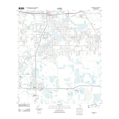 2012 Mulberry2012 Print · USGSCovers Goat Corners, including Lakeland, Mulberry, and other nearby areas
 - 2012 Map of Nichols, 2012 Print
 2012 Nichols2012 Print · USGSCovers Goat Corners, including Lakeland, Mulberry, and other nearby areas
 - 2015 Map of Mulberry, 2015 Print
 2015 Mulberry2015 Print · USGSCovers Goat Corners, including Lakeland, Mulberry, and other nearby areas
 - 2015 Map of Nichols, 2015 Print
 2015 Nichols2015 Print · USGSCovers Goat Corners, including Lakeland, Mulberry, and other nearby areas
 - 2018 Map of Nichols, 2018 Print
 2018 Nichols2018 Print · USGSCovers Goat Corners, including Lakeland, Mulberry, and other nearby areas
 - 2018 Map of Mulberry, 2018 Print
 2018 Mulberry2018 Print · USGSCovers Goat Corners, including Lakeland, Mulberry, and other nearby areas
 - 2021 Map of Nichols, 2021 Print
 2021 Nichols2021 Print · USGSCovers Goat Corners, including Lakeland, Mulberry, and other nearby areas
 - 2021 Map of Mulberry, 2021 Print
 2021 Mulberry2021 Print · USGSCovers Goat Corners, including Lakeland, Mulberry, and other nearby areas
 - 2024 Map of Mulberry, 2024 Print
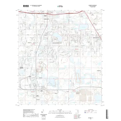
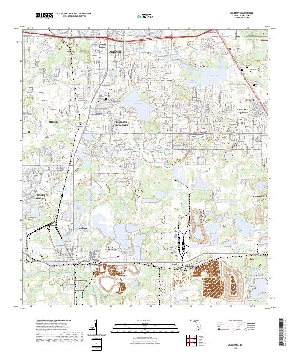 2024 Mulberry2024 Print · USGSFlorida's phosphate heartland is revealed in this modern survey of the corridor between Mulberry and Lakeland. Genealogists and historians can trace local heritage through sites like Medulla Cem and the rail junctions at Prairie Junction and Tancrede.
 - 2024 Map of Nichols, 2024 Print
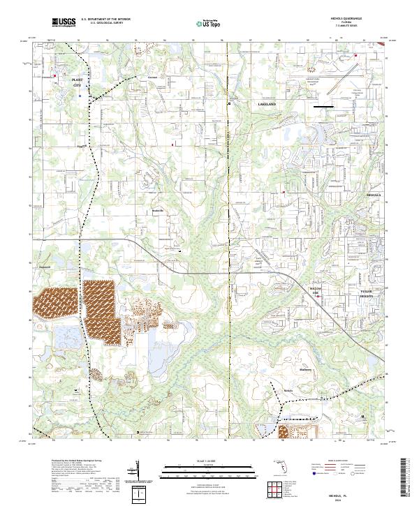 2024 Nichols2024 Print · USGSThe Florida borderlands of Hillsborough and Polk counties come into focus during this modern era of aviation and community growth. Genealogists and local historians can trace old family sites at Antioch Baptist Church Cem and Springhead Cem near Bealsville and Trapnell.
End of results
Showing maps 1-24 of 24
Frequently asked questions
- What are the different types of historical maps available for Goat Corners?
- What is the oldest map of Goat Corners?
- Where can I purchase historical maps of Goat Corners for my home or office?
- Where can I download high-res historical maps of Goat Corners?
- Are there historical topographic maps available for Goat Corners?
- Is there historical aerial imagery available for Goat Corners?
- Where are historical maps of Goat Corners sourced from?