Old Maps of Orangedale, Florida for Genealogy
Trace your family roots with 12 historic maps of Orangedale. These high-res maps reveal old neighborhoods, homesites, landmarks, and streets — helping you uncover where your ancestors lived and how the area evolved over time.
- Explore historic neighborhoods: Identify where your relatives may have lived in the 1800s or 1900s.
- Compare maps over time: Trace the changes in streets, buildings, and landmarks for multi-generational research.
- Perfect for genealogy & ancestry research: Used by family historians and researchers to map out lineage and migration.
These maps are an incredible resource for exploring your personal connection to Orangedale's past.
Orangedale, FL maps
(12)- 1944 Map of Providence
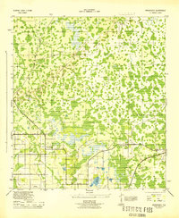 1944 Providence1944 Print · USGSPolk County during the Second World War reveals a landscape of emerging airfields and evolving citrus-belt infrastructure. Genealogists and researchers can trace the roads around Providence and Orangedale, or locate the wartime Auxiliary Landing Field.2 unique versions available
 - 1955 Map of Orlando, 1969 Print
 1955 Orlando1969 Print · USGSCentral Florida was entering the space age in the mid-fifties, balancing its citrus heritage with new military and aerospace frontiers. You can trace early developments at Kennedy Space Center or locate interior settlements like Eatonville and Pine Castle.3 unique versions available
 - 1957 Map of Orlando
 1957 Orlando1957 Print · USGSCovers Orangedale, including Orlando, Palm Bay, and other nearby areas
 - 1958 Map of Orlando
 1958 Orlando1958 Print · USGSCentral Florida was a landscape of citrus, rail, and emerging aerospace technology during the late fifties. Researchers can trace the early footprints of Cape Canaveral and Patrick Air Force Base or locate inland citrus and rail hubs like Sanford and Lakeland.
 - 1962 Map of Orlando
 1962 Orlando1962 Print · USGSCentral Florida was transformed by aerospace and citrus at the start of the sixties. Genealogists and historians can trace old community footprints from Eau Gallie to Leesburg, alongside landmarks like McCoy AFB and the winding Econlockhatchee River.
 - 1975 Map of Providence, 1976 Print
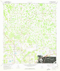 1975 Providence1976 Print · USGSPolk County in the mid-1970s reveals a unique landscape of rural settlements and emerging infrastructure. Genealogists and local historians can trace family-named landmarks like Padgett Rd, find community anchors like German Ch, and explore specialized sites such as Mc Collum Airport.3 unique versions available
 - 1979 Map of Kissimmee, 1980 Print
 1979 Kissimmee1980 Print · USGSCentral Florida entered a period of explosive growth in the late seventies as theme parks and aviation transformed the landscape. Researchers can trace the legacy of citrus and rail in Haines City and Winter Haven, or locate old lakeside settlements like Narcoossee and Pine Castle.
 - 2012 Map of Providence, 2012 Print
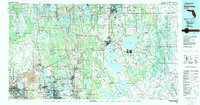
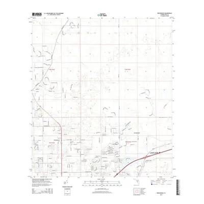
 2012 Providence2012 Print · USGSCovers Orangedale, including Lakeland, Fox Town, and other nearby areas
 - 2015 Map of Providence, 2015 Print
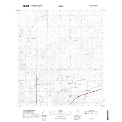
 2015 Providence2015 Print · USGSCovers Orangedale, including Lakeland, Fox Town, and other nearby areas
 - 2018 Map of Providence, 2018 Print
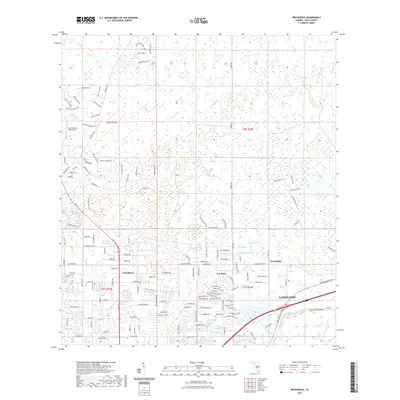
 2018 Providence2018 Print · USGSCovers Orangedale, including Lakeland, Fox Town, and other nearby areas
 - 2021 Map of Providence, 2021 Print
 2021 Providence2021 Print · USGSCovers Orangedale, including Lakeland, Fox Town, and other nearby areas
 - 2024 Map of Providence, 2024 Print
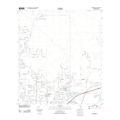
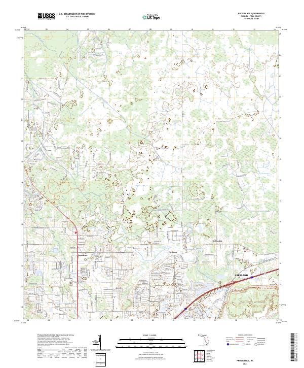 2024 Providence2024 Print · USGSProvidence and the northern Lakeland fringe are captured here during a period of transition between rural Florida ranch lands and suburban growth. Researchers can trace the layout of Fox Town, locate the Green Swamp Aerodrome, or study the shorelines of Saint Andrews Lake and Lake Cameron.
End of results
Showing maps 1-12 of 12
Top cities near Orangedale
- Lakeland historical maps
- Winter Haven historical maps
- Plant City historical maps
- Auburndale historical maps
- Lake Alfred historical maps
- Mulberry historical maps
See more
Frequently asked questions
- What are the different types of historical maps available for Orangedale?
- What is the oldest map of Orangedale?
- Where can I purchase historical maps of Orangedale for my home or office?
- Where can I download high-res historical maps of Orangedale?
- Are there historical topographic maps available for Orangedale?
- Is there historical aerial imagery available for Orangedale?
- Where are historical maps of Orangedale sourced from?