Old Maps of Pomona Park, Florida for Academic Research
Study the evolution of Pomona Park with 20 high-resolution historic maps. Whether you're teaching, researching, or modeling changes in land use, these maps provide essential visual documentation of urban, environmental, and geographic change.
- Analyze long-term change: Track patterns in development, transportation, and natural features.
- Ideal for environmental or urban studies: Support academic projects with primary historical map data.
- Use in the classroom or lab: Educators and researchers rely on these maps to bring historical context to life.
These maps are a powerful tool for teaching, research, and visualizing how Pomona Park has changed over the decades.
Pomona Park, FL maps
(20)- 1912 Map of Palatka
 1912 Palatka1912 Print · USGSFlorida's St. Johns River corridor comes alive in the early twentieth century, showing a landscape defined by steamboat routes and citrus-belt railroads. Genealogists and historians can trace old community hubs like Yelvington PO, the Hardin Memorial Church, and the winding Rodman Lumber RR.
 - 1915 Map of Palatka
 1915 Palatka1915 Print · USGSFlorida's riverfront and rail corridors are captured here just after the turn of the century as Palatka thrived as a major transport junction. Researchers can trace family-named landmarks and vanished rural infrastructure like Sutherlands Still, Baptizing Lake, and Seven Pines School.6 unique versions available
 - 1954 Map of Daytona Beach, 1974 Print
 1954 Daytona Beach1974 Print · USGSNortheast Florida is captured in the mid-1950s, showing the transition from river-based commerce to coastal tourism. Researchers can trace the Florida East Coast rail lines and find historic sites like Castillo de San Marcos Nat Mon and Palatka.
 - 1958 Map of Daytona Beach
 1958 Daytona Beach1958 Print · USGSThe Florida coast and St. Johns River valley are captured in the late 1950s, showing a landscape defined by citrus-belt rail towns and Atlantic shorelines. Genealogists can trace family roots through riverside settlements like Palatka and Welaka or coastal hubs like Daytona Beach.2 unique versions available
 - 1964 Map of Daytona Beach
 1964 Daytona Beach1964 Print · USGSCoastal Florida in the mid-1960s shows a fascinating balance between burgeoning beach tourism and the deep interior wilderness of the Ocala National Forest. Researchers can trace the path of the Florida East Coast railway through historic settlements like St. Augustine, Marineland, and Palatka.
 - 1968 Map of San Mateo, 1971 Print
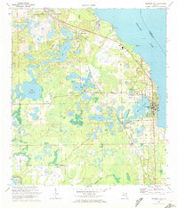
 1968 San Mateo1971 Print · USGSPutnam County in the late sixties is revealed through its intricate waterways and rail lines during a period of planned hydraulic change. Genealogists and researchers can locate family sites like Mt Tabor Ch, Yelvington Cem, and the riverfront at San Mateo.3 unique versions available
 - 1970 Map of Crescent City, 1972 Print
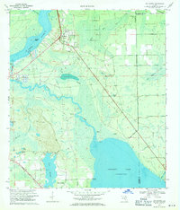
 1970 Crescent City1972 Print · USGSCrescent City and the surrounding citrus country are captured here in the early seventies as the rail-and-lake economy defined Putnam County. Researchers can locate family sites near Pomona Park, trace the Seaboard Coast Line, or find old burial grounds like Eden Cem.3 unique versions available
 - 1978 Map of Daytona Beach, 1980 Print
 1978 Daytona Beach1980 Print · USGSCoastal development meets the wild Florida interior in the late seventies, spanning from the Atlantic beaches to the St. Johns River. Trace the growth of Daytona Beach or find inland outposts like Salt Springs, De Leon Springs, and the U S Naval Reservation.2 unique versions available
 - 1981 Map of Saint Augustine, 1982 Print
 1981 Saint Augustine1982 Print · USGSNortheast Florida in the early eighties shows a landscape of deep river commerce and coastal growth. Genealogists and historians can trace the inland rail network of the Seaboard Coast Line through rural Hastings or explore the military footprint of Camp Blanding.2 unique versions available
 - 1994 Map of Crescent City, 1998 Print
 1994 Crescent City1998 Print · USGSCrescent City and its neighboring citrus settlements are captured in the late twentieth century, before modern development further altered the lake-strewn landscape. Researchers can trace family roots through Pomona-Lake Como Cem or locate the old Crescent City Station and Thunderbird Airpark.
 - 2012 Map of San Mateo, 2012 Print
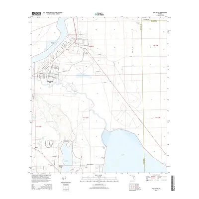
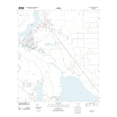 2012 San Mateo2012 Print · USGSCovers Pomona Park, including Bunnell, Sutherlands Still, and other nearby areas
 - 2012 Map of Crescent City, 2012 Print
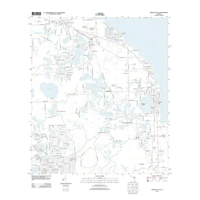 2012 Crescent City2012 Print · USGSCovers Pomona Park, including Crescent City, Lake Como, and other nearby areas
 - 2015 Map of Crescent City, 2015 Print
 2015 Crescent City2015 Print · USGSCovers Pomona Park, including Crescent City, Lake Como, and other nearby areas
 - 2015 Map of San Mateo, 2015 Print
 2015 San Mateo2015 Print · USGSCovers Pomona Park, including Bunnell, Sutherlands Still, and other nearby areas
 - 2018 Map of San Mateo, 2018 Print
 2018 San Mateo2018 Print · USGSCovers Pomona Park, including Bunnell, Sutherlands Still, and other nearby areas
 - 2018 Map of Crescent City, 2018 Print
 2018 Crescent City2018 Print · USGSCovers Pomona Park, including Crescent City, Lake Como, and other nearby areas
 - 2021 Map of San Mateo, 2021 Print
 2021 San Mateo2021 Print · USGSCovers Pomona Park, including Bunnell, Sutherlands Still, and other nearby areas
 - 2021 Map of Crescent City, 2021 Print
 2021 Crescent City2021 Print · USGSCovers Pomona Park, including Crescent City, Lake Como, and other nearby areas
 - 2024 Map of San Mateo, 2024 Print
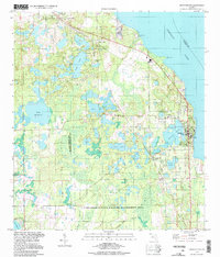
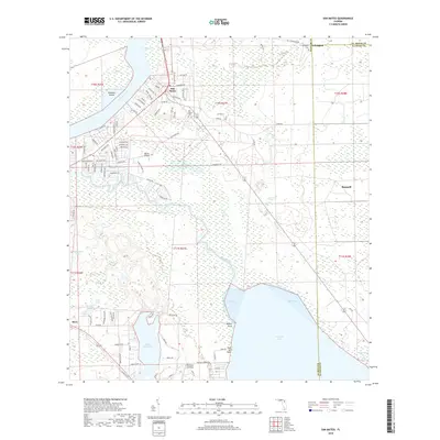
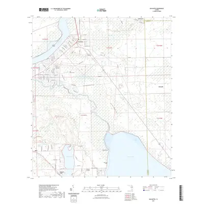
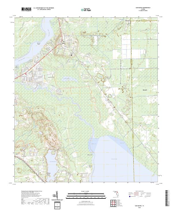 2024 San Mateo2024 Print · USGSThe confluence of the Saint Johns River and Dunns Creek provides the backdrop for this look at Putnam County's riverfront communities. Genealogists and local historians can trace the roads around San Mateo, find the Yelvington Cem, and explore the shoreline of Lake Broward.
 - 2024 Map of Crescent City, 2024 Print
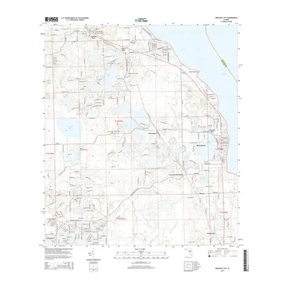
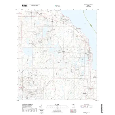
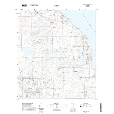
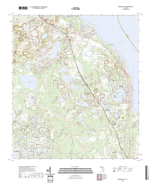 2024 Crescent City2024 Print · USGSCrescent City and the surrounding lake country of Putnam County are captured in this recent survey. Local historians can trace the development of Pomona Park, Huntington, and Denver alongside family sites like Eden Cem and Greenwood Cem.
End of results
Showing maps 1-20 of 20
Top cities near Pomona Park
- Palm Coast historical maps
- Palatka historical maps
- Bunnell historical maps
- Crescent City historical maps
- Welaka historical maps
- Hastings historical maps
See more
Frequently asked questions
- What are the different types of historical maps available for Pomona Park?
- What is the oldest map of Pomona Park?
- Where can I purchase historical maps of Pomona Park for my home or office?
- Where can I download high-res historical maps of Pomona Park?
- Are there historical topographic maps available for Pomona Park?
- Is there historical aerial imagery available for Pomona Park?
- Where are historical maps of Pomona Park sourced from?