Old Maps of Spuds, Florida for Genealogy
Trace your family roots with 13 historic maps of Spuds. These high-res maps reveal old neighborhoods, homesites, landmarks, and streets — helping you uncover where your ancestors lived and how the area evolved over time.
- Explore historic neighborhoods: Identify where your relatives may have lived in the 1800s or 1900s.
- Compare maps over time: Trace the changes in streets, buildings, and landmarks for multi-generational research.
- Perfect for genealogy & ancestry research: Used by family historians and researchers to map out lineage and migration.
These maps are an incredible resource for exploring your personal connection to Spuds's past.
Spuds, FL maps
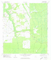
(13)- 1937 Map of Dinner Island
 1937 Dinner Island1937 Print · USGSThe Florida interior of the late 1930s is revealed here as a landscape of vast wetlands punctuated by isolated ridges and timber outposts. Researchers can trace the path of the Old Kings Road or locate early stations like Dinner Island Sta. and Neoga Sta.
 - 1943 Map of Dinner Island, 1957 Print
 1943 Dinner Island1957 Print · USGSNortheast Florida in the early 1940s was a landscape defined by isolated interior ridges and vital coastal rail lines. Researchers can trace the original route of the Old Dixie Highway and locate vanished siding stops like Neoga Sta and Byrd.
 - 1944 Map of Dinner Island
 1944 Dinner Island1944 Print · USGSMid-century Northeast Florida comes into focus along the coastal marshes and pine islands where the St. Johns and Flagler county lines meet. Trace the historic Dixie Highway and Florida East Coast railroad through Espanola, Spuds, and Neoga Sta.
 - 1954 Map of Daytona Beach, 1974 Print
 1954 Daytona Beach1974 Print · USGSNortheast Florida is captured in the mid-1950s, showing the transition from river-based commerce to coastal tourism. Researchers can trace the Florida East Coast rail lines and find historic sites like Castillo de San Marcos Nat Mon and Palatka.
 - 1958 Map of Daytona Beach
 1958 Daytona Beach1958 Print · USGSThe Florida coast and St. Johns River valley are captured in the late 1950s, showing a landscape defined by citrus-belt rail towns and Atlantic shorelines. Genealogists can trace family roots through riverside settlements like Palatka and Welaka or coastal hubs like Daytona Beach.2 unique versions available
 - 1964 Map of Daytona Beach
 1964 Daytona Beach1964 Print · USGSCoastal Florida in the mid-1960s shows a fascinating balance between burgeoning beach tourism and the deep interior wilderness of the Ocala National Forest. Researchers can trace the path of the Florida East Coast railway through historic settlements like St. Augustine, Marineland, and Palatka.
 - 1970 Map of Spuds, 1973 Print
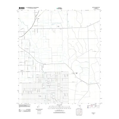
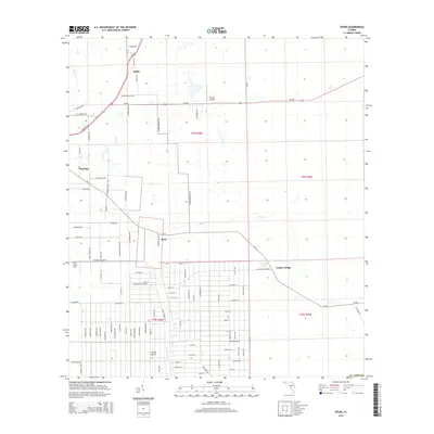
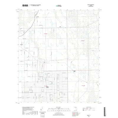
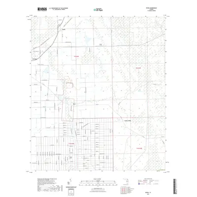
 1970 Spuds1973 Print · USGSSt. Johns County agriculture and rail networks come into focus in the early 1970s. Trace the rural crossroads of Spuds and Byrd, find country churches like Mt Olive Ch, and locate old infrastructure along the Florida East Coast railroad.4 unique versions available
 - 1981 Map of Saint Augustine, 1982 Print
 1981 Saint Augustine1982 Print · USGSNortheast Florida in the early eighties shows a landscape of deep river commerce and coastal growth. Genealogists and historians can trace the inland rail network of the Seaboard Coast Line through rural Hastings or explore the military footprint of Camp Blanding.2 unique versions available
 - 2012 Map of Spuds, 2012 Print
 2012 Spuds2012 Print · USGSCovers Spuds, including Gopher Ridge, Byrd, and other nearby areas
 - 2015 Map of Spuds, 2015 Print
 2015 Spuds2015 Print · USGSCovers Spuds, including Gopher Ridge, Byrd, and other nearby areas
 - 2018 Map of Spuds, 2018 Print
 2018 Spuds2018 Print · USGSCovers Spuds, including Gopher Ridge, Byrd, and other nearby areas
 - 2021 Map of Spuds, 2021 Print
 2021 Spuds2021 Print · USGSCovers Spuds, including Gopher Ridge, Byrd, and other nearby areas
 - 2024 Map of Spuds, 2024 Print
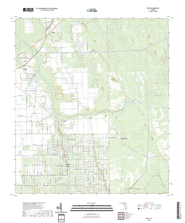 2024 Spuds2024 Print · USGSAgricultural settlements in St. Johns County meet the wetlands of the Florida interior during the early twenty-first century. Researchers can trace the massive grid of Flagler Estates and identify local aviation history at Hutson Airfield or Frontier Airport.
End of results
Showing maps 1-13 of 13
Top cities near Spuds
- Palm Coast historical maps
- Saint Augustine historical maps
- Palatka historical maps
- Green Cove Springs historical maps
- Saint Augustine Beach historical maps
- Saint Augustine South historical maps
See more
Frequently asked questions
- What are the different types of historical maps available for Spuds?
- What is the oldest map of Spuds?
- Where can I purchase historical maps of Spuds for my home or office?
- Where can I download high-res historical maps of Spuds?
- Are there historical topographic maps available for Spuds?
- Is there historical aerial imagery available for Spuds?
- Where are historical maps of Spuds sourced from?