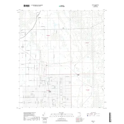
2018 Map of Spuds
USGS Topo · Published 2018About this map
Flagler Estates dominates the southern half of this landscape, its expansive grid of residential streets contrasting with the agricultural and wetland patterns to the north. In this section of Saint Johns County, drainage and land use are defined by waterways such as Sixteenmile Cr and Deep Cr, which cut through the level terrain. The small community of Spuds sits at the intersection of Old State Rd 207 and Co Rd 207, serving as a focal point for the surrounding farms. Local history and aviation interests are noted at Hutson Airfield, while the eastern portion of the map transitions into the distinct topography of Gopher Ridge. This era shows a clear division between established agricultural nodes like Hastings and the large-scale planned development at the Flagler border, providing a detailed look at the rural-to-residential shift in this part of Florida.
Find a feature on this map
115 named features on this map. Tap any name to fly to it.
Don’t see what you’re looking for? This feature index may not catch every label — zoom into the map to look around manually.
Map Details
Editions of this 2018 Spuds Map
This is the sole edition of this map. No revisions or reprints were ever made.
Other maps of this area
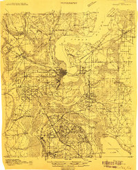
1912 · Palatka
USGS Topo · 1:48,000
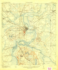
1915 · Palatka
USGS Topo · 1:62,500
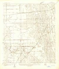
1937 · Elkton
USGS Topo · 1:24,000
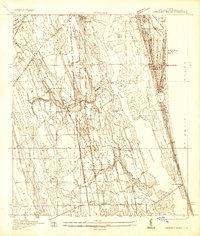
1937 · Crescent Beach
USGS Topo · 1:24,000
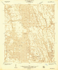
1937 · Dinner Island
USGS Topo · 1:48,000
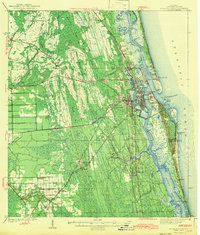
1943 · St. Augustine
USGS Topo · 1:62,500
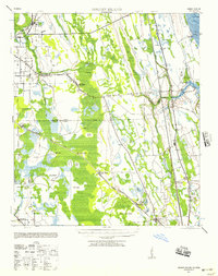
1943 · Dinner Island
USGS Topo · 1:62,500
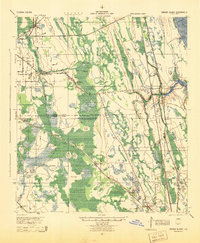
1944 · Dinner Island
USGS Topo · 1:62,500
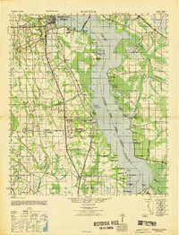
1947 · Bostwick
USGS Topo · 1:50,000
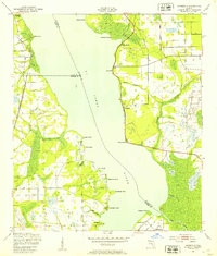
1949 · Riverdale
USGS Topo · 1:24,000