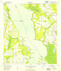
1949 Map of Riverdale
USGS Topo · Published 1953About this map
The St Johns River serves as the central artery for this mid-century landscape where St. Johns, Clay, and Putnam counties converge. The eastern bank is defined by a series of landings and points, such as Lane Landing and Magnolia Point, suggesting a river-oriented economy before the expansion of modern highways. Settled pockets at Riverdale and Federal Point represent established communities along the waterfront, while the Atlantic Coast Line railroad runs parallel to the western shore, connecting West Tocoi to the broader regional network. The interior is characterized by a complex drainage system, with Deep Creek and McCullough Creek winding through low-lying areas. Numerous named points like Deadman Point and Ninemile Point serve as distinct landmarks along the wide river channel, reflecting the historic importance of waterborne navigation in Northeast Florida.
Find a feature on this map
34 named features on this map. Tap any name to fly to it.
Don’t see what you’re looking for? This feature index may not catch every label — zoom into the map to look around manually.
Map Details
Editions of this 1949 Riverdale Map
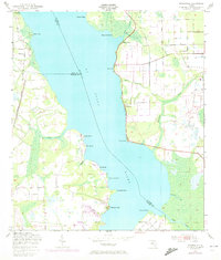
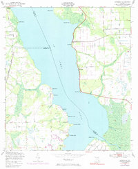
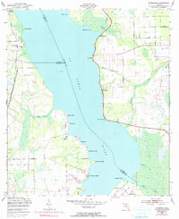
4 editions found
Other maps of this area

1912 · Palatka
USGS Topo · 1:48,000

1915 · Palatka
USGS Topo · 1:62,500

1937 · Bakersville
USGS Topo · 1:24,000

1937 · Elkton
USGS Topo · 1:24,000

1937 · Dinner Island
USGS Topo · 1:48,000

1943 · St. Augustine
USGS Topo · 1:62,500

1943 · Dinner Island
USGS Topo · 1:62,500

1944 · Dinner Island
USGS Topo · 1:62,500

1947 · Bostwick
USGS Topo · 1:50,000

1949 · Bostwick
USGS Topo · 1:24,000