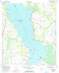
1949 Map of Riverdale
USGS Topo · Published 1990About this map
The St Johns River dominates this mid-century landscape, serving as the primary geographic divider between Clay, Putnam, and St. Johns Counties. Small riverside settlements and landings dot both shores, reflecting an era where the river remained central to local movement. Along the western bank, the Seaboard Coast Line runs parallel to the water, while an Old Railroad Grade near West Tocoi hints at earlier transportation networks that once served the citrus groves and timber interests of the region.
Find a feature on this map
34 named features on this map. Tap any name to fly to it.
Don’t see what you’re looking for? This feature index may not catch every label — zoom into the map to look around manually.
Map Details
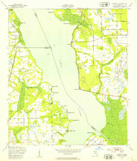
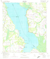
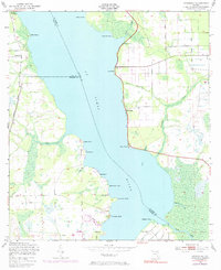
Editions of this 1949 Riverdale Map
4 editions found
Other maps of this area

1912 · Palatka
USGS Topo · 1:48,000

1915 · Palatka
USGS Topo · 1:62,500

1937 · Bakersville
USGS Topo · 1:24,000

1937 · Elkton
USGS Topo · 1:24,000

1937 · Dinner Island
USGS Topo · 1:48,000

1943 · St. Augustine
USGS Topo · 1:62,500

1943 · Dinner Island
USGS Topo · 1:62,500

1944 · Dinner Island
USGS Topo · 1:62,500

1947 · Bostwick
USGS Topo · 1:50,000

1949 · Bostwick
USGS Topo · 1:24,000