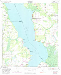
1949 Map of Riverdale
USGS Topo · Published 1985About this map
The St Johns River serves as the dominant spine of this landscape, separating the riverfront communities of St. Johns and Putnam counties. During the mid-century, this stretch of the river was characterized by a string of agricultural and transport landings, such as Lane Landing and Clay Landing, reflecting a time when waterborne transit remained vital to local commerce. On the eastern bank, the settlement of Riverdale sits at the center of a network of points and bluffs, including Racy Point and Ninemile Point, while the west bank shows the path of the Seaboard Coast Line and an Old Railroad Grade near West Tocoi. The presence of Federal Point and Bridgeport further south illustrates the density of these riverside outposts. The map also traces intricate drainage systems like Paines Branch and Deep Creek that cut through the low-lying terrain.
Find a feature on this map
37 named features on this map. Tap any name to fly to it.
Don’t see what you’re looking for? This feature index may not catch every label — zoom into the map to look around manually.
Map Details
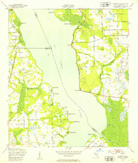
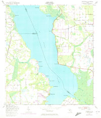
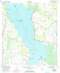
Editions of this 1949 Riverdale Map
4 editions found
Other maps of this area

1912 · Palatka
USGS Topo · 1:48,000

1915 · Palatka
USGS Topo · 1:62,500

1937 · Bakersville
USGS Topo · 1:24,000

1937 · Elkton
USGS Topo · 1:24,000

1937 · Dinner Island
USGS Topo · 1:48,000

1943 · St. Augustine
USGS Topo · 1:62,500

1943 · Dinner Island
USGS Topo · 1:62,500

1944 · Dinner Island
USGS Topo · 1:62,500

1947 · Bostwick
USGS Topo · 1:50,000

1949 · Bostwick
USGS Topo · 1:24,000