Old Maps of Osprey, Florida for Hiking & Exploration
Hike through history with 15 historic maps of Osprey. Explore old trails, ghost towns, and forgotten backroads — perfect for outdoor adventurers and local explorers.
- Rediscover forgotten places: Map out old mining camps, roads, and footpaths that no longer exist on modern maps.
- Layer with modern tools: Combine with LiDAR or satellite views to plan hikes through historical terrain.
- Made for exploration: Popular among hikers, overlanders, and local history lovers.
Use these maps to find adventure and explore the hidden past of Osprey.
Osprey, FL maps
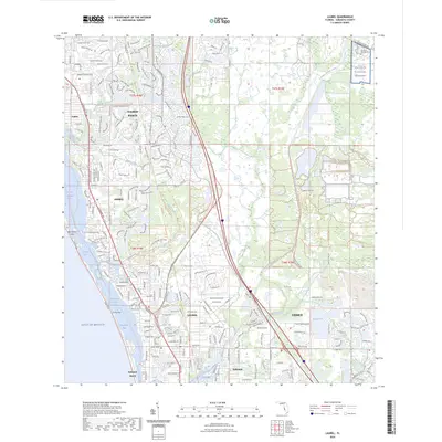
(15)- 1943 Map of Laurel, 1961 Print
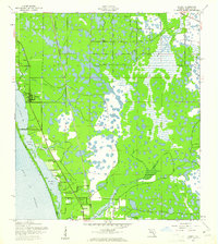 1943 Laurel1961 Print · USGSSarasota County's coastal landscape appears in the early 1940s as a network of rail-side settlements and tidal bays. Genealogists can trace family footprints near Laurel Sch or along the Seaboard Air Line and Casey Key.
 - 1944 Map of Laurel
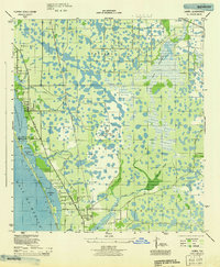 1944 Laurel1944 Print · USGSCoastal Sarasota County is seen here during the mid-forties, balancing its identity as a fishing and transport hub with wartime military needs. Genealogists and local historians can trace the foundations of Laurel through the Laurel Sch and Laurel Chapel, or locate the expansive U S Army Bombing Area.
 - 1956 Map of Tampa, 1964 Print
 1956 Tampa1964 Print · USGSThe Florida Gulf Coast thrived in the mid-fifties, from the bustling docks of Tampa to the quiet shores of Sanibel. Genealogists and historians can trace old rail lines like the Atlantic Coast Line or find early layouts of Port Charlotte and Bokeelia.2 unique versions available
 - 1959 Map of Tampa
 1959 Tampa1959 Print · USGSThe Florida Gulf Coast appears in this late fifties survey during a period of steady coastal growth and established rail commerce. Researchers can trace historic neighborhoods and transit lines from Tampa to St Petersburg, or locate landmarks like Mac Dill AFB and Boca Grande.
 - 1960 Map of Tampa
 1960 Tampa1960 Print · USGSThe Florida Gulf Coast was undergoing a major transformation at the start of the sixties, with new bridges linking burgeoning cities across the bays. Researchers can trace the mid-century footprints of St Petersburg and Tampa, or locate coastal landmarks like Mac Dill AFB and the Sunshine Skyway.2 unique versions available
 - 1972 Map of Tampa, 1974 Print
 1972 Tampa1974 Print · USGSThe Florida Gulf Coast appears in a period of significant growth during the early seventies, from the urban centers of the bay to the quiet southern keys. Researchers can trace the expansion of St Petersburg or locate family sites near Safety Harbor, Valrico, and Boca Ciega.
 - 1973 Map of Laurel, 1975 Print
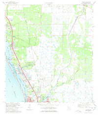 1973 Laurel1975 Print · USGSSarasota County's coastal settlements and barrier islands are captured here during a period of significant mid-century growth. Researchers can trace the development of Osprey, Laurel, and Nokomis alongside landmarks like the Drive-in Theater and Nokomis Ch.3 unique versions available
 - 1979 Map of Sarasota, 1980 Print
 1979 Sarasota1980 Print · USGSCoastal Florida in the late seventies reveals the rapid growth of the Gulf shoreline from Bradenton down to Port Charlotte. Trace the expansion of coastal communities like Bayshore Gardens, find long-standing landmarks like Trailer Estates, or explore the vast preserve of Myakka River State Park.
 - 1988 Map of St Petersburg
 1988 St Petersburg1988 Print · USGSThe Florida Gulf Coast reached a peak of late-twentieth-century development as seen in this late-1980s look at the growing corridor from St Petersburg to Port Charlotte. Researchers can trace the expansion of coastal infrastructure, including MacDill Air Force Base, the Seaboard System RR, and regional parks like Fort De Soto Park.
 - 2012 Map of Laurel, 2012 Print
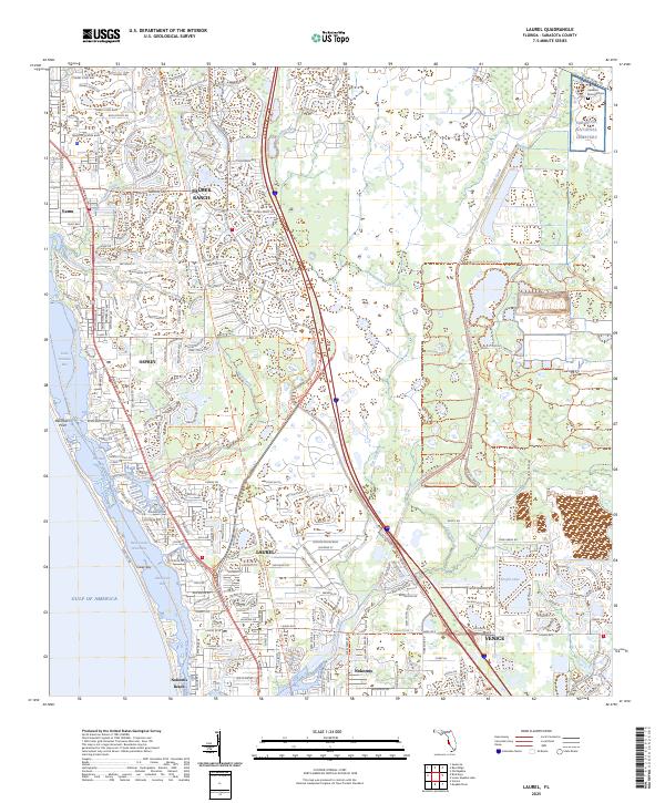
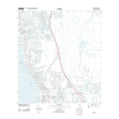 2012 Laurel2012 Print · USGSCovers Osprey, including Venice, Laurel, and other nearby areas
 - 2015 Map of Laurel, 2015 Print
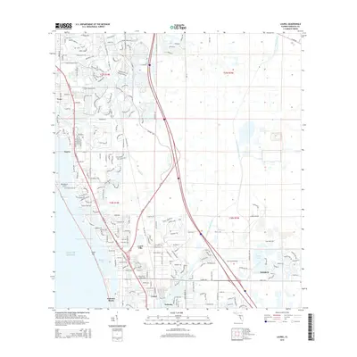 2015 Laurel2015 Print · USGSCovers Osprey, including Venice, Laurel, and other nearby areas
 - 2018 Map of Laurel, 2018 Print
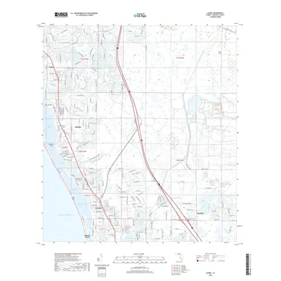 2018 Laurel2018 Print · USGSCovers Osprey, including Venice, Laurel, and other nearby areas
 - 2021 Map of Laurel, 2021 Print
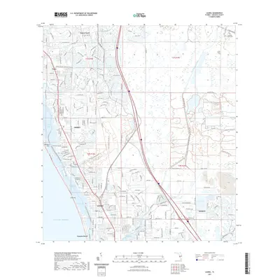 2021 Laurel2021 Print · USGSCovers Osprey, including Venice, Laurel, and other nearby areas
 - 2024 Map of Laurel, 2024 Print
 2024 Laurel2024 Print · USGSCovers Osprey, including Venice, Laurel, and other nearby areas
 - 2025 Map of Laurel, 2025 Print
 2025 Laurel2025 Print · USGSSarasota County's coastal corridor is detailed here in recent years, showing the growth of coastal communities and protected parklands. Researchers can trace the modern layout of Osprey and Laurel or explore the boundaries of Oscar Scherer State Park and Sarasota National Cemetery.
End of results
Showing maps 1-15 of 15
Top cities near Osprey
- North Port historical maps
- Sarasota historical maps
- Venice historical maps
- South Venice historical maps
- Laurel historical maps
- Longboat Key historical maps
See more
Frequently asked questions
- What are the different types of historical maps available for Osprey?
- What is the oldest map of Osprey?
- Where can I purchase historical maps of Osprey for my home or office?
- Where can I download high-res historical maps of Osprey?
- Are there historical topographic maps available for Osprey?
- Is there historical aerial imagery available for Osprey?
- Where are historical maps of Osprey sourced from?