Old Maps of Village of Collier, The Villages for Academic Research
Study the evolution of Village of Collier with 24 high-resolution historic maps. Whether you're teaching, researching, or modeling changes in land use, these maps provide essential visual documentation of urban, environmental, and geographic change.
- Analyze long-term change: Track patterns in development, transportation, and natural features.
- Ideal for environmental or urban studies: Support academic projects with primary historical map data.
- Use in the classroom or lab: Educators and researchers rely on these maps to bring historical context to life.
These maps are a powerful tool for teaching, research, and visualizing how Village of Collier has changed over the decades.
Village of Collier, The Villages maps
(24)- 1893 Map of Panasoffkee, 1958 Print
 1893 Panasoffkee1958 Print · USGSSumter County was a landscape of expansive wetlands and early rail outposts during the 1890s. Genealogists and historians can trace the early rail stops at Wildwood and Coleman or locate historic waters like Lake Panasoffkee and Warm Spring.
 - 1895 Map of Panasoffkee
 1895 Panasoffkee1895 Print · USGSSumter County in the 1890s reveals a landscape of expansive wetlands and emerging rail towns. Genealogists and local historians can trace early settlements like Royal and Oxford or follow the route of the Florida Central and Peninsular RR.5 unique versions available
 - 1955 Map of Plant City, 1966 Print
 1955 Plant City1966 Print · USGSMid-century Central Florida comes to life in this survey of the Nature Coast and the inland citrus and rail belt. Genealogists and historians can trace the paths of the Atlantic Coast Line, locate the Anclote Keys Lighthouse, or find old communities like Masaryktown and Lacoochee.6 unique versions available
 - 1955 Map of Orlando, 1969 Print
 1955 Orlando1969 Print · USGSCentral Florida was entering the space age in the mid-fifties, balancing its citrus heritage with new military and aerospace frontiers. You can trace early developments at Kennedy Space Center or locate interior settlements like Eatonville and Pine Castle.3 unique versions available
 - 1957 Map of Orlando
 1957 Orlando1957 Print · USGSCovers Village of Collier, including Orlando, Palm Bay, and other nearby areas
 - 1958 Map of Orlando
 1958 Orlando1958 Print · USGSCentral Florida was a landscape of citrus, rail, and emerging aerospace technology during the late fifties. Researchers can trace the early footprints of Cape Canaveral and Patrick Air Force Base or locate inland citrus and rail hubs like Sanford and Lakeland.
 - 1958 Map of Plant City
 1958 Plant City1958 Print · USGSFlorida's Gulf Coast and inland ridge country are captured here in the mid-fifties, showing the region before modern sprawl. Genealogists and historians can trace rail-era towns like Richland and Trilby or locate coastal landmarks such as the Anclote Keys Lighthouse.
 - 1959 Map of Plant City
 1959 Plant City1959 Print · USGSThe West Florida coast and inland timberlands are captured here in the late fifties, from the bend of the Gulf to the rail hubs of the interior. Trace the paths of the Atlantic Coast Line through Inverness and find landmarks like the Anclote Keys Lighthouse.
 - 1962 Map of Orlando
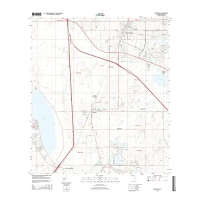
 1962 Orlando1962 Print · USGSCentral Florida was transformed by aerospace and citrus at the start of the sixties. Genealogists and historians can trace old community footprints from Eau Gallie to Leesburg, alongside landmarks like McCoy AFB and the winding Econlockhatchee River.
 - 1964 Map of Plant City
 1964 Plant City1964 Print · USGSThe West Florida coast and its interior rail corridors come alive in this mid-sixties survey, spanning from the gulf marshes to the agricultural heartland. Researchers can trace the routes of the Atlantic Coast Line through settlements like Bushnell, Inverness, and Plant City.
 - 1966 Map of Leesburg West
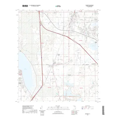
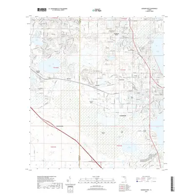
 1966 Leesburg West1966 Print · USGSMid-century Leesburg and Lake County are shown as the citrus groves and lakefronts began to welcome new residential growth. Genealogists and researchers can locate Lone Oak Cemetery, trace the Seaboard Coast Line, or find landmarks like Bugg Spring and Shiloh Ch.5 unique versions available
 - 1967 Map of Wildwood, 1969 Print
 1967 Wildwood1969 Print · USGSSumter County transitions into the highway era in the late sixties as the new turnpike bisects established rail towns. Trace the growth of Wildwood and Coleman, or locate family landmarks like Oak Grove Cem and Adamsville.2 unique versions available
 - 1979 Map of Inverness, 1980 Print
 1979 Inverness1980 Print · USGSThe West Central Florida coastline and lake regions are captured here in the late seventies, showing the transition from Gulf marshes to the interior wetlands. Genealogists and researchers can locate family sites near Inverness or trace the early rail corridors of the Seaboard Coast Line through Wildwood and Okahumpka.2 unique versions available
 - 1979 Map of Orlando, 1980 Print
 1979 Orlando1980 Print · USGSCentral Florida's lake country and growing urban corridors are captured here just before the decade's end. Genealogists and historians can trace the transition from citrus rail towns like Winter Garden to the suburban expansion along I-4 and Florida's Turnpike.3 unique versions available
 - 2012 Map of Wildwood, 2012 Print
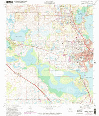
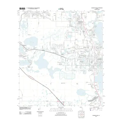
 2012 Wildwood2012 Print · USGSCovers Village of Collier, including The Villages, Wildwood, and other nearby areas
 - 2012 Map of Leesburg West, 2012 Print
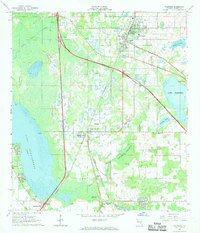
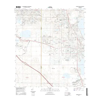
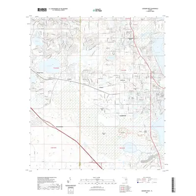
 2012 Leesburg West2012 Print · USGSCovers Village of Collier, including The Villages, Leesburg, and other nearby areas
 - 2015 Map of Wildwood, 2015 Print
 2015 Wildwood2015 Print · USGSCovers Village of Collier, including The Villages, Wildwood, and other nearby areas
 - 2015 Map of Leesburg West, 2015 Print
 2015 Leesburg West2015 Print · USGSCovers Village of Collier, including The Villages, Leesburg, and other nearby areas
 - 2018 Map of Wildwood, 2018 Print
 2018 Wildwood2018 Print · USGSCovers Village of Collier, including The Villages, Wildwood, and other nearby areas
 - 2018 Map of Leesburg West, 2018 Print
 2018 Leesburg West2018 Print · USGSCovers Village of Collier, including The Villages, Leesburg, and other nearby areas
 - 2021 Map of Wildwood, 2021 Print
 2021 Wildwood2021 Print · USGSCovers Village of Collier, including The Villages, Wildwood, and other nearby areas
 - 2021 Map of Leesburg West, 2021 Print
 2021 Leesburg West2021 Print · USGSCovers Village of Collier, including The Villages, Leesburg, and other nearby areas
 - 2024 Map of Leesburg West, 2024 Print
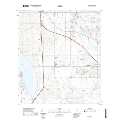
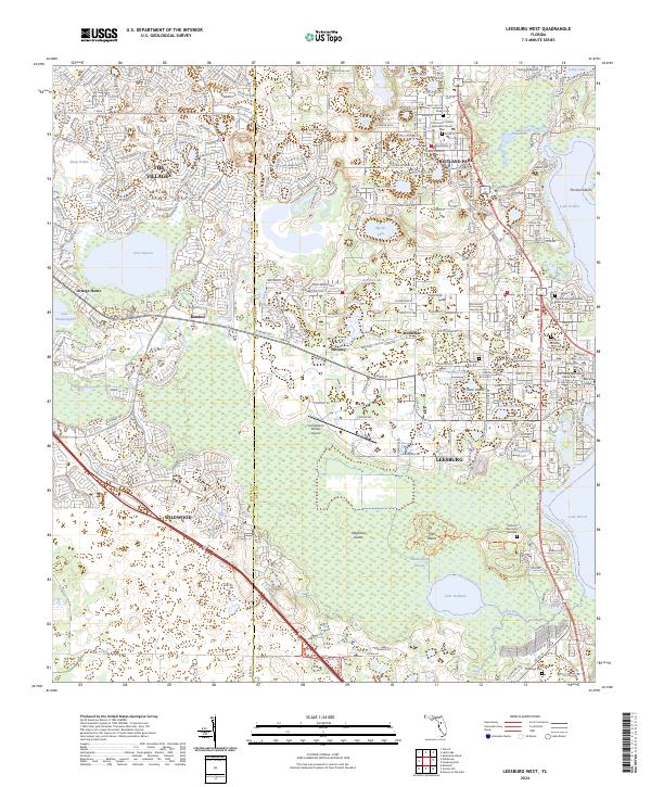 2024 Leesburg West2024 Print · USGSLeesburg and Fruitland Park are shown here in the 2020s, highlighting the dramatic suburban expansion and intricate lake systems of central Florida. Researchers can pinpoint historic burial sites like Lone Oak Cem and landmarks such as Bugg Spring or Stoer Island.
 - 2024 Map of Wildwood, 2024 Print
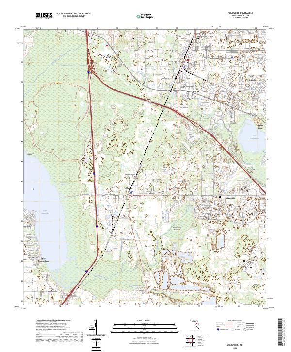 2024 Wildwood2024 Print · USGSSumter County at the start of the 2020s shows the meeting point of established communities and modern residential growth. Researchers can trace local heritage through Greenwood Cem and Adamsville or explore the wetlands around Lake Panasoffkee and Hogeye Sink.
End of results
Showing maps 1-24 of 24
Frequently asked questions
- What are the different types of historical maps available for Village of Collier?
- What is the oldest map of Village of Collier?
- Where can I purchase historical maps of Village of Collier for my home or office?
- Where can I download high-res historical maps of Village of Collier?
- Are there historical topographic maps available for Village of Collier?
- Is there historical aerial imagery available for Village of Collier?
- Where are historical maps of Village of Collier sourced from?