Old Maps of Live Oak, Florida for Academic Research
Study the evolution of Live Oak with 17 high-resolution historic maps. Whether you're teaching, researching, or modeling changes in land use, these maps provide essential visual documentation of urban, environmental, and geographic change.
- Analyze long-term change: Track patterns in development, transportation, and natural features.
- Ideal for environmental or urban studies: Support academic projects with primary historical map data.
- Use in the classroom or lab: Educators and researchers rely on these maps to bring historical context to life.
These maps are a powerful tool for teaching, research, and visualizing how Live Oak has changed over the decades.
Live Oak, FL maps
(17)- 1954 Map of Valdosta, 1967 Print
 1954 Valdosta1967 Print · USGSThe South Georgia and North Florida borderlands are captured here in the mid-fifties, showing the deep timber and wetland networks of the coastal plain. Researchers can trace the path of the Atlantic Coast Line through Valdosta or explore the interior of the Okefenokee Swamp.2 unique versions available
 - 1958 Map of Valdosta
 1958 Valdosta1958 Print · USGSSouth Georgia and North Florida are captured here in the mid-fifties, showing the vast Okefenokee Swamp and the vital timber and rail corridors connecting the two states. Researchers can locate the footprint of Moody Air Force Base, trace the Live Oak Perry and Gulf railroad, or find early community sites like Bakers Mill and Paradise Church.
 - 1959 Map of Valdosta
 1959 Valdosta1959 Print · USGSThe Georgia-Florida borderlands in the mid-fifties reveal a landscape of massive blackwater swamps and emerging military aviation hubs. Genealogists and historians can trace rail-stop towns like Fargo and Stockton or explore the interior reaches of the Okefenokee Swamp and Billys Island.
 - 1959 Map of Live Oak West, 1960 Print
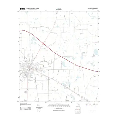
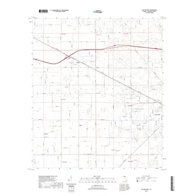
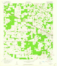 1959 Live Oak West1960 Print · USGSSuwannee County in the late fifties shows a landscape of rail-connected settlements and rural crossroads. Researchers can trace family sites at Delaware Cem, visit the Agricultural Coliseum, or locate early rail stops at Dickert and Mercer.3 unique versions available
 - 1961 Map of Live Oak East, 1962 Print
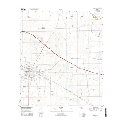
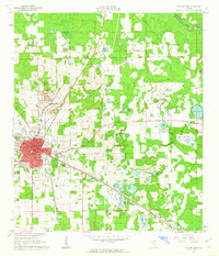 1961 Live Oak East1962 Print · USGSSuwannee County was a major rail and industrial crossroads in the early sixties, centered on the hub of Live Oak. Local historians can trace the intersecting lines of the Southern Railway and find landmarks like the Suwannee Mine and Douglas High Sch.2 unique versions available
 - 1979 Map of Perry, 1980 Print
 1979 Perry1980 Print · USGSThe Florida Big Bend and Suwannee River valley are captured here in the late seventies during a period of established timber and rail activity. Genealogists and historians can trace the Live Oak Perry and South Georgia line through Scanlon or locate family roots in Dowling Park and Greenville.2 unique versions available
 - 1981 Map of Lake City
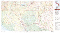
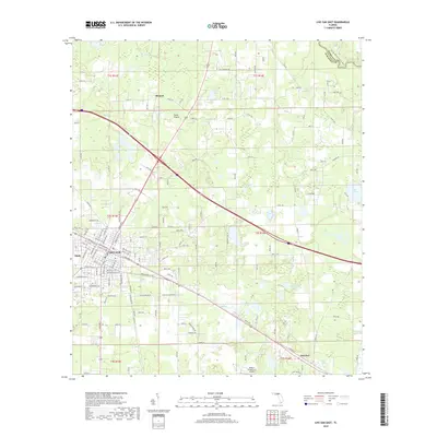
 1981 Lake City1981 Print · USGSNorth Florida and South Georgia are mapped in the early eighties as the region balanced forestry with growing infrastructure. Genealogists can trace family names and locations from Live Oak to Macclenny, or find cultural landmarks like the Stephen Foster State Folk Culture Center.2 unique versions available
 - 2012 Map of Live Oak West, 2012 Print
 2012 Live Oak West2012 Print · USGSCovers Live Oak, including Mercer, Dickert, and other nearby areas
 - 2012 Map of Live Oak East, 2012 Print
 2012 Live Oak East2012 Print · USGSCovers Live Oak, including Houston, Rixford, and other nearby areas
 - 2015 Map of Live Oak East, 2015 Print
 2015 Live Oak East2015 Print · USGSCovers Live Oak, including Houston, Rixford, and other nearby areas
 - 2015 Map of Live Oak West, 2015 Print
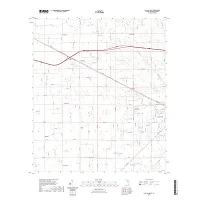
 2015 Live Oak West2015 Print · USGSCovers Live Oak, including Mercer, Dickert, and other nearby areas
 - 2018 Map of Live Oak East, 2018 Print
 2018 Live Oak East2018 Print · USGSCovers Live Oak, including Houston, Rixford, and other nearby areas
 - 2018 Map of Live Oak West, 2018 Print
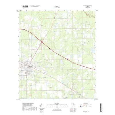
 2018 Live Oak West2018 Print · USGSCovers Live Oak, including Mercer, Dickert, and other nearby areas
 - 2021 Map of Live Oak West, 2021 Print
 2021 Live Oak West2021 Print · USGSCovers Live Oak, including Mercer, Dickert, and other nearby areas
 - 2021 Map of Live Oak East, 2021 Print
 2021 Live Oak East2021 Print · USGSCovers Live Oak, including Houston, Rixford, and other nearby areas
 - 2024 Map of Live Oak West, 2024 Print
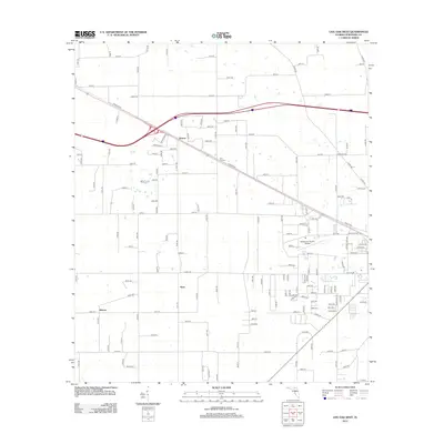
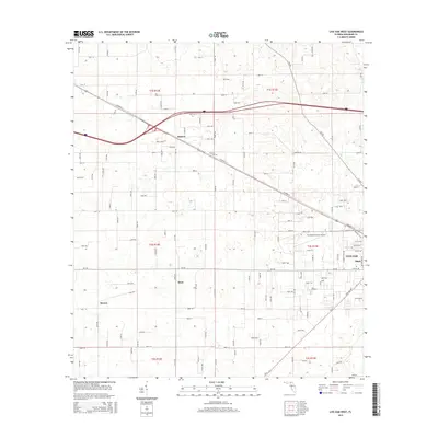
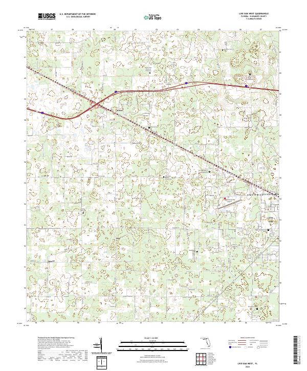 2024 Live Oak West2024 Print · USGSSuwannee County and the outskirts of LIVE OAK are captured here in the early twenty-first century as the town extends toward its rural edges. Local historians can trace family roots through numerous sites like Oak Grove Church Cem, Rock Cut Cem, and the community at Dickert.
 - 2024 Map of Live Oak East, 2024 Print
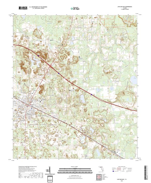 2024 Live Oak East2024 Print · USGSSuwannee County's rural heartland is documented here in the early twenty-first century, centered on the historic crossroads of Live Oak. Genealogists can trace family heritage through numerous burial sites like Eastside Memorial Cem and Bridges Cem.
End of results
Showing maps 1-17 of 17
Top cities near Live Oak
- Welborn historical maps
- Wellborn historical maps
- Jasper historical maps
- White Springs historical maps
- Ellaville historical maps
Frequently asked questions
- What are the different types of historical maps available for Live Oak?
- What is the oldest map of Live Oak?
- Where can I purchase historical maps of Live Oak for my home or office?
- Where can I download high-res historical maps of Live Oak?
- Are there historical topographic maps available for Live Oak?
- Is there historical aerial imagery available for Live Oak?
- Where are historical maps of Live Oak sourced from?