Old Maps of Newport, Florida for Metal Detecting
Plan your next treasure hunt with 12 historic maps of Newport. Find old homesites, ghost towns, trails, and gathering spots that may be lost to time — perfect for identifying promising metal detecting locations.
- Locate forgotten sites: Uncover places like long-lost settlements, abandoned rail lines, or gathering spots.
- Plan better hunts: Use map overlays combined with LiDAR or satellite views to narrow in on historically rich areas.
- Made for detectorists: Thousands of hobbyists use these maps to discover relics, coins, and hidden history.
Use these historic maps to boost your research and find new opportunities beneath the surface of Newport.
Newport, FL maps
(12)- 1954 Map of St. Marks, 1956 Print
 1954 St. Marks1956 Print · USGSCoastal Wakulla County comes to life in the mid-fifties, showing the vital confluence of the rivers that shaped Florida's Panhandle history. Genealogists and researchers can trace family landmarks like Magnolia Cem, the ruins at Site of Old Fort St Marks, and the rail stops at Wakulla.2 unique versions available
 - 1954 Map of Tallahassee, 1967 Print
 1954 Tallahassee1967 Print · USGSThe Florida Panhandle and South Georgia are captured here during a period of mid-century growth and military expansion. Researchers can trace the development of Panama City, the footprint of Tyndall Air Force Base, and the rail lines of the Atlantic Coast Line.4 unique versions available
 - 1959 Map of Tallahassee
 1959 Tallahassee1959 Print · USGSFlorida's Panhandle and the Big Bend region appear here in the mid-fifties, showing a landscape defined by its great river systems and developing coast. Trace the early layout of Panama City, the expansive Apalachicola National Forest, and the coastal St Marks Lighthouse.
 - 1960 Map of Tallahassee
 1960 Tallahassee1960 Print · USGSThe Florida Panhandle and southern Georgia are captured here in the mid-twentieth century, showing a region defined by its rivers and military installations. Genealogists and historians can trace the growth of Tallahassee or locate coastal landmarks like the St Marks Lighthouse and Tyndall Air Force Base.
 - 1979 Map of Tallahassee, 1980 Print
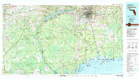 1979 Tallahassee1980 Print · USGSFlorida's capital and the Gulf coast are captured here in the late seventies, showing the region's balance between urban growth and massive protected wetlands. Researchers can trace the routes of the Apalachicola Northern Railroad or locate small inland hubs like Sopchoppy, Panacea, and Hosford.
 - 1982 Map of St Marks, 1983 Print
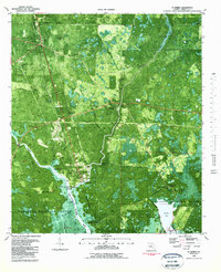 1982 St Marks1983 Print · USGSCoastal Wakulla County in the early eighties is mapped here as a network of tidal rivers, marshes, and small historic settlements. Genealogists and historians can locate several rural cemeteries including Stewart Cem and Wakulla Cem, or trace the vicinity of Port Leon and the Old Railroad Grade.3 unique versions available
 - 1988 Map of Tallahassee
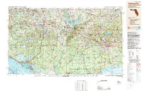 1988 Tallahassee1988 Print · USGSThe Florida Panhandle and South Georgia are captured here in the late eighties, showing the expansion of the regional highway network and coastal growth. Genealogists and historians can trace rail lines like the Seaboard System Railroad or locate family roots in Blountstown, Graceville, or Crawfordville.2 unique versions available
 - 2012 Map of Saint Marks, 2012 Print
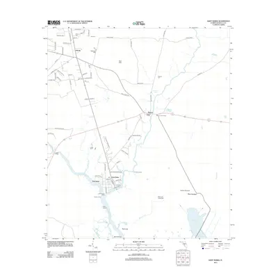 2012 Saint Marks2012 Print · USGSCoastal Wakulla County comes into focus in the early 2010s, where the river-mouth settlement of Saint Marks meets the Gulf marshes. Trace local genealogy and history at Old Fort Saint Marks, Magnolia Cem, and the former town site of Port Leon.
 - 2015 Map of Saint Marks, 2015 Print
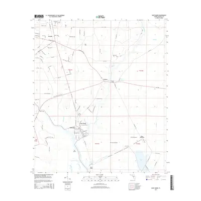 2015 Saint Marks2015 Print · USGSCoastal Wakulla County comes into focus in the mid-2010s, where the river-bound settlements of Saint Marks and Newport meet the Gulf marshes. Researchers can trace the local landscape through historic sites like Port Leon, Magnolia Cem, and the waters of Blue Sink.
 - 2018 Map of Saint Marks, 2018 Print
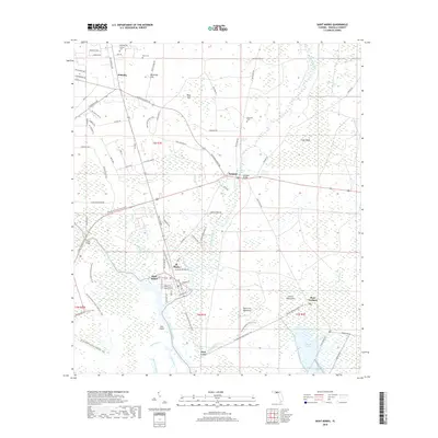 2018 Saint Marks2018 Print · USGSCoastal Wakulla County in the late 2010s is a landscape where river and tide shape the town of St. Marks. Researchers can trace old family burial grounds like Magnolia Cem or explore the hydrologic features of Newport Spring and Patterson Sink.
 - 2021 Map of Saint Marks, 2021 Print
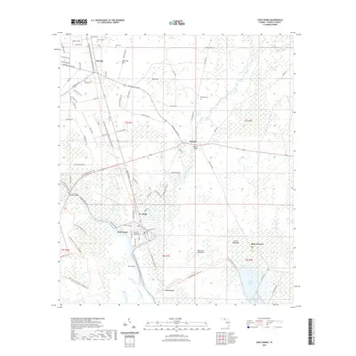 2021 Saint Marks2021 Print · USGSThe Wakulla coast and the St. Marks river junction are documented here as they appeared in the early twenty-first century. Researchers can trace the historic railroad trail and locate family landmarks like Mays Cem and Port Leon.
 - 2024 Map of Saint Marks, 2024 Print
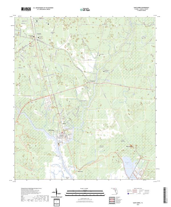 2024 Saint Marks2024 Print · USGSThe coastal marshes and river confluences of Wakulla County are mapped here in the modern era, showing the intersection of maritime history and conservation. Researchers can trace early settlements and heritage sites like Port Leon, the Fort San Marcos de Apalache Gem, and the Tallahassee Saint Marks Historic Railroad State Trl.
End of results
Showing maps 1-12 of 12
Top cities near Newport
- Tallahassee historical maps
- Crawfordville historical maps
- Wacissa historical maps
- Saint Marks historical maps
Frequently asked questions
- What are the different types of historical maps available for Newport?
- What is the oldest map of Newport?
- Where can I purchase historical maps of Newport for my home or office?
- Where can I download high-res historical maps of Newport?
- Are there historical topographic maps available for Newport?
- Is there historical aerial imagery available for Newport?
- Where are historical maps of Newport sourced from?