2020s Maps of DeFuniak Springs, Florida
Explore 8 historic maps of DeFuniak Springs from the 2020s. These maps offer a rare glimpse into what life looked like during the 2020s — showing old roads, neighborhoods, homes, and landmarks that have changed or disappeared over time.
Whether you're researching your family's past, planning a metal detecting trip, or studying how DeFuniak Springs's landscape evolved across the 2020s, these high-resolution maps are a powerful tool for exploring the history of this region.
- Focus on a specific era: All maps on this page are from the 2020s, giving you a focused view of this time period.
- See what’s changed: Compare century-old streets, trails, and buildings to today's modern landscape using overlays and satellite layers.
- Research with precision: Use these maps for genealogy, historical research, land use analysis, or educational projects.
- View, download, or print: Maps are fully viewable online in high resolution, and can be downloaded or printed for your own records.
Start exploring DeFuniak Springs's history through authentic maps from the 2020s. This is your window into the past.
DeFuniak Springs, FL maps
(8)- 2021 Map of De Funiak Springs East, 2021 Print
 2021 De Funiak Springs East2021 Print · USGSCovers DeFuniak Springs, including Argyle, Walcan, and other nearby areas
 - 2021 Map of Liberty, 2021 Print
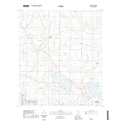 2021 Liberty2021 Print · USGSCovers DeFuniak Springs, including Sand Hill, Piney Grove, and other nearby areas
 - 2021 Map of Glendale, 2021 Print
 2021 Glendale2021 Print · USGSCovers DeFuniak Springs, including Center Ridge, Pleasant Grove, and other nearby areas
 - 2021 Map of De Funiak Springs West, 2021 Print
 2021 De Funiak Springs West2021 Print · USGSCovers DeFuniak Springs, including Sconiers Mill, Dixon, and other nearby areas
 - 2024 Map of Glendale, 2024 Print
 2024 Glendale2024 Print · USGSWalton County's rural northern interior is showcased in this contemporary survey of the area surrounding Glendale. Genealogists and historians can trace family roots at numerous small burying grounds including Friendship Baptist Church Cem and Smith Cem near Lake Cassidy.
 - 2024 Map of Liberty, 2024 Print
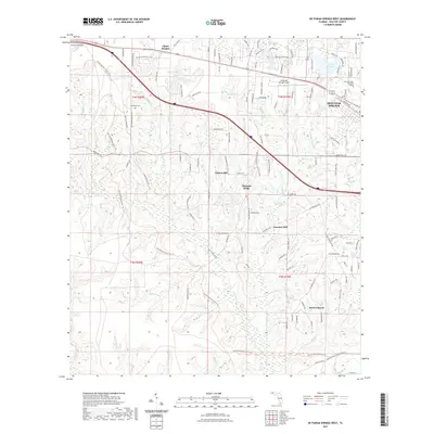
 2024 Liberty2024 Print · USGSWalton County's rural landscape is captured here in the modern era, showing the transition from the Shoal River basin to the lakes near DeFuniak Springs. Researchers can trace local history through sites like Cluster Springs Cem, the community of Liberty, and the Shoal River State Paddling Trail.
 - 2024 Map of De Funiak Springs East, 2024 Print
 2024 De Funiak Springs East2024 Print · USGSWalton County in the early twenty-first century reveals a landscape defined by its historic county seat and a network of rural church communities. Researchers can trace family roots at Euchee Valley Cemetery or explore the civic layout of De Funiak Springs near Lake DeFuniak.
 - 2024 Map of De Funiak Springs West, 2024 Print
 2024 De Funiak Springs West2024 Print · USGSWalton County is captured here in the contemporary era as rural settlements meet the eastern boundary of a major military installation. Researchers can trace historical sites like Sconiers Mill, Steele Church, and family burial grounds such as Oak Ridge Cem.
End of results
Showing maps 1-8 of 8
Top cities near DeFuniak Springs
Top neighborhoods of DeFuniak Springs
Frequently asked questions
- What are the different types of historical maps available for DeFuniak Springs?
- What is the oldest map of DeFuniak Springs?
- Where can I purchase historical maps of DeFuniak Springs for my home or office?
- Where can I download high-res historical maps of DeFuniak Springs?
- Are there historical topographic maps available for DeFuniak Springs?
- Is there historical aerial imagery available for DeFuniak Springs?
- Where are historical maps of DeFuniak Springs sourced from?