Old Maps of New Home, Florida
Explore 12 old maps of New Home, spanning from 1935 to today. These high-resolution historic maps reveal how streets, neighborhoods, landmarks, and natural features evolved over time — perfect for genealogy, metal detecting, research, and local history exploration.
What you can do with these maps:
- See how New Home changed over time: Compare historical maps to modern-day views to trace roads, homesites, rail lines & more.
- View detailed metadata: Each map includes creators, publishers, year, scale, and archive source.
- Overlay maps with satellite & LiDAR: Visualize the past alongside modern tools to explore terrain & human change.
- Trusted historical sources: Maps sourced from the USGS, Library of Congress, and other archives.
- Access maps your way: View online, download high-res files, or order prints for personal or research use.
Start exploring old maps of New Home to uncover forgotten places, hidden landmarks, and the deep history beneath your feet.
New Home, FL maps
(12)- 1935 Map of De Funiak Springs
 1935 De Funiak Springs1935 Print · USGSWalton County in the mid-1930s shows a landscape of rural schools and family homesteads centered around the rail hub of De Funiak Springs. Genealogists can trace family locations near Magnolia Cem, Seckinger Mill, and the many one-room schoolhouses like Indian Head Sch.2 unique versions available
 - 1938 Map of De Funiak Springs
 1938 De Funiak Springs1938 Print · USGSWalton County in the late thirties is a landscape of creek-side mills and timberlands stretching from the Louisville and Nashville RR down to the bay. Genealogists can locate family landmarks like Oak Ridge Cem, trace old routes at Old Walton Bridge, and find rural school sites like Eucheanna Sch.4 unique versions available
 - 1957 Map of Pensacola, 1967 Print
 1957 Pensacola1967 Print · USGSThe Florida Panhandle and Alabama coast are seen here at the height of the Cold War, showcasing a unique mix of military aviation and emerging beach tourism. Genealogists and local historians can trace legacy sites like Old Corry Field, the lumber town of Bagdad, and the coastal reaches of Santa Rosa Island.3 unique versions available
 - 1959 Map of Pensacola
 1959 Pensacola1959 Print · USGSThe Florida Panhandle and Alabama coast come alive in this late fifties survey of military aviation and maritime life. Genealogists can trace family roots in Bagdad, Loxley, and Milton while mapping the rails of the Louisville and Nashville.
 - 1960 Map of Pensacola
 1960 Pensacola1960 Print · USGSThe Florida Panhandle and Alabama's eastern shore are shown during a period of rapid military and coastal growth. Genealogists and historians can trace the mid-century footprints of Warrington, the Pensacola NAS (Chevalier), and the Blackwater River timber lands.
 - 1970 Map of Portland, 1972 Print
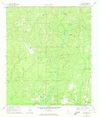 1970 Portland1972 Print · USGSCoastal Walton County in the early seventies shows a landscape where military activity meets rural tradition. Researchers can locate the New Home Cem, trace the waters of Alaqua Creek, and explore the southern outskirts of Portland.3 unique versions available
 - 1978 Map of Crestview, 1982 Print
 1978 Crestview1982 Print · USGSThe Florida Panhandle and southern Alabama borderlands appear here in the late seventies as the military and timber industries shaped the landscape. Genealogists can trace family roots through small settlements like Cannon Town or Svea, and locate old sites like Aux Field No 4 (Abandoned).2 unique versions available
 - 2012 Map of Portland, 2012 Print
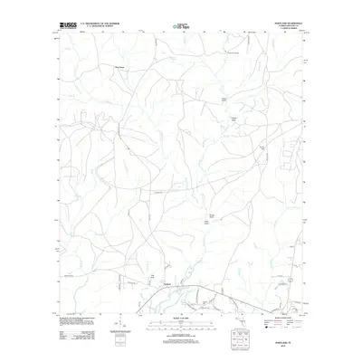 2012 Portland2012 Print · USGSIn the early twenty-first century, this Walton County landscape shows the quiet settlement of Portland overlooking West Bayou. Genealogists and local historians can locate Hatcher Cem and trace the many winding drainages like Counterfeit Mill Cr and Little Alaqua Cr.
 - 2015 Map of Portland, 2015 Print
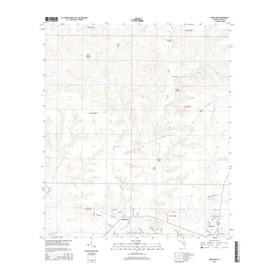 2015 Portland2015 Print · USGSThe Walton County coastline and its intricate network of bayou tributaries are captured here during a period of modern growth. Genealogists and local historians can trace family locations near Portland, New Home Cemetery, and the banks of Alaqua Creek.
 - 2018 Map of Portland, 2018 Print
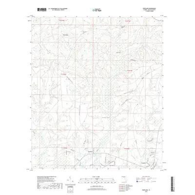 2018 Portland2018 Print · USGSCoastal Walton County meets the Panhandle interior in the late 2010s, showing the developed corridors of Portland and Freeport. Researchers can locate family landmarks like New Home Cem or trace the winding paths of Counterfeit Mill Cr and Alaqua Bayou.
 - 2021 Map of Portland, 2021 Print
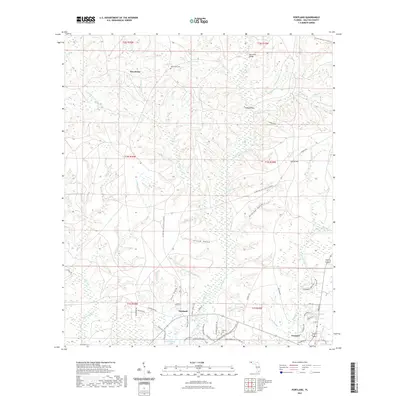 2021 Portland2021 Print · USGSCoastal Walton County meets the wetlands of the Florida Panhandle in the early 2020s. Researchers can trace the layout of Portland and Freeport or locate family sites near New Home Cem and the historic water-powered legacy of Counterfeit Mill Cr.
 - 2024 Map of Portland, 2024 Print
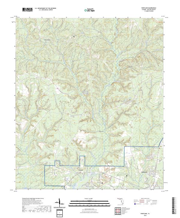 2024 Portland2024 Print · USGSThe Walton County coastline and pine woods are shown here in the 2020s as the area balances military use with growing residential communities. Researchers can trace local lineage at New Home Cem or Hatcher Cem and locate established settlements like Portland and Freeport.
End of results
Showing maps 1-12 of 12
Top cities near New Home
Frequently asked questions
- What are the different types of historical maps available for New Home?
- What is the oldest map of New Home?
- Where can I purchase historical maps of New Home for my home or office?
- Where can I download high-res historical maps of New Home?
- Are there historical topographic maps available for New Home?
- Is there historical aerial imagery available for New Home?
- Where are historical maps of New Home sourced from?